 |
|
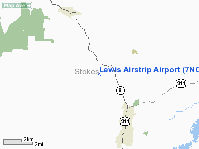
Location & QuickFacts
| FAA Information Effective: | 2008-09-25 |
| Airport Identifier: | 7NC7 |
| Airport Status: | Operational |
| Longitude/Latitude: | 080-10-25.1710W/36-20-48.4950N
-80.173659/36.346804 (Estimated) |
| Elevation: | 650 ft / 198.12 m (Estimated) |
| Land: | 0 acres |
| From nearest city: | 5 nautical miles S of Walnut Cove, NC |
| Location: | Stokes County, NC |
| Magnetic Variation: | 06W (1985) |
Owner & Manager
| Ownership: | Privately owned |
| Owner: | Joseph B. Lewis |
| Address: | Route 3 Box 107
Walnut Cove, NC 27052 |
| Phone number: | 336-593-9213 |
| Manager: | Joseph B. Lewis |
| Address: | Route 3 Box 107
Walnut Cove, NC 27052 |
| Phone number: | 336-593-9213 |
Airport Operations and Facilities
| Airport Use: | Private
PERSONAL USE. |
| Segmented Circle: | No |
| Control Tower: | No |
| Sectional chart: | Cincinnati |
| Region: | ASO - Southern |
| Boundary ARTCC: | ZTL - Atlanta |
| Tie-in FSS: | RDU - Raleigh |
| FSS Toll Free: | 1-800-WX-BRIEF |
Runway Information
Runway 10/28
| Dimension: | 1700 x 40 ft / 518.2 x 12.2 m |
| Surface: | TURF, |
| |
Runway 10 |
Runway 28 |
| Traffic Pattern: | Left | Left |
|
Radio Navigation Aids
| ID |
Type |
Name |
Ch |
Freq |
Var |
Dist |
| OQA | FAN MARKER | Rockingham County | | | | 17.3 nm |
| AZW | NDB | Mount Airy | | 223.00 | 07W | 17.9 nm |
| UV | NDB | Bales | | 396.00 | 07W | 19.2 nm |
| SIF | NDB | Slammer | | 423.00 | 07W | 20.0 nm |
| ZEF | NDB | Zephyr | | 326.00 | 05W | 26.7 nm |
| DVZ | NDB | Davie | | 354.00 | 06W | 29.4 nm |
| SEN | NDB | Swearing/dcmsnd | | 260.00 | 06W | 34.6 nm |
| HB | NDB | Himun | | 361.00 | 08W | 36.2 nm |
| RU | NDB | Rovdy | | 275.00 | 06W | 40.0 nm |
| HLX | NDB | Hillsville | | 269.00 | 06W | 40.0 nm |
| CQJ | NDB | City Lake | | 266.00 | 08W | 40.8 nm |
| UKF | NDB | Wilki | | 209.00 | 06W | 47.0 nm |
| TOX | NDB | Siler City | | 371.00 | 07W | 49.3 nm |
| DAN | VOR | Danville | | 113.10 | 06W | 42.6 nm |
| GSO | VORTAC | Greensboro | 109X | 116.20 | 03W | 20.5 nm |
| LIB | VORTAC | Liberty | 077X | 113.00 | 03W | 42.2 nm |
Remarks
- PRVDD VFR/PERSONAL USE ONLY.
Images and information placed above are from
http://www.airport-data.com/airport/7NC7/
We thank them for the data!
| General Info
|
| Country |
United States
|
| State |
NORTH CAROLINA
|
| FAA ID |
7NC7
|
| Latitude |
36-20-48.495N
|
| Longitude |
080-10-25.171W
|
| Elevation |
650 feet
|
| Near City |
WALNUT COVE
|
We don't guarantee the information is fresh and accurate. The data may
be wrong or outdated.
For more up-to-date information please refer to other sources.
|
|


