|
|
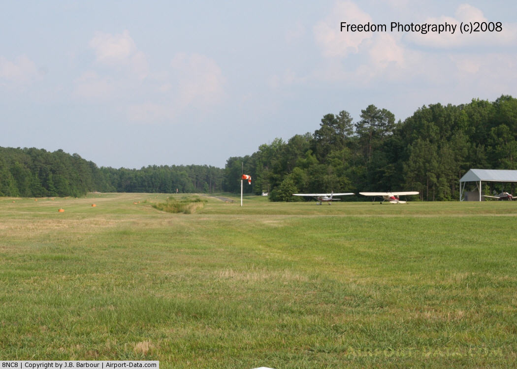
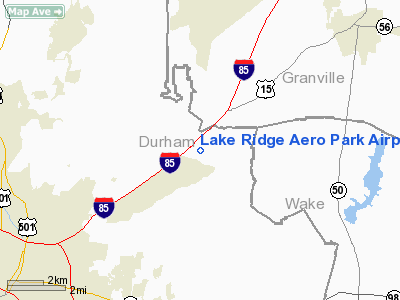
Lake Ridge Aero Park Airport |
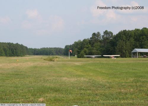 |
(Click on the photo to enlarge) |
Location & QuickFacts
| FAA Information Effective: | 2008-09-25 |
| Airport Identifier: | 8NC8 |
| Airport Status: | Operational |
| Longitude/Latitude: | 078-47-00.0190W/36-03-36.5220N
-78.783339/36.060145 (Estimated) |
| Elevation: | 309 ft / 94.18 m (Surveyed) |
| Land: | 30 acres |
| From nearest city: | 7 nautical miles NE of Durham, NC |
| Location: | Durham County, NC |
| Magnetic Variation: | 07W (1985) |
Owner & Manager
| Ownership: | Privately owned |
| Owner: | Brnj Inc |
| Address: | 100 Citation Circle
Durham, NC 27704 |
| Phone number: | 919-688-6358 |
| Manager: | Rick Fuller |
| Address: | 5206 Sky Lane Dr
Durham, NC 27704 |
| Phone number: | 919-688-2928 |
Airport Operations and Facilities
| Airport Use: | Private |
| Wind indicator: | Yes |
| Segmented Circle: | No |
| Control Tower: | No |
| Lighting Schedule: | PHONE REQ
FOR LIRL RY 14/32 CALL 919-682-2696. |
| Beacon Color: | Yellow (unlighted seaplane base) |
| Landing fee charge: | No |
| Sectional chart: | Washington |
| Region: | ASO - Southern |
| Traffic Pattern Alt: | 1100 ft |
| Boundary ARTCC: | ZDC - Washington |
| Tie-in FSS: | RDU - Raleigh |
| FSS on Airport: | No |
| FSS Toll Free: | 1-800-WX-BRIEF |
Airport Services
| Fuel available: | 100LL |
| Airframe Repair: | NONE |
| Power Plant Repair: | NONE |
| Bottled Oxygen: | NONE |
| Bulk Oxygen: | NONE |
Runway Information
Runway 14/32
| Dimension: | 3200 x 150 ft / 975.4 x 45.7 m |
| Surface: | TURF,
CENTER 30' FAIR. |
| Edge Lights: | Low
RWY LGTS NON STANDARD. |
| |
Runway 14 |
Runway 32 |
| Traffic Pattern: | Left | Left |
| Runway End Identifier: | No | No |
| Centerline Lights: | No | No |
| Touchdown Lights: | No | No |
| Obstruction: | 50 ft trees, 300.0 ft from runway, 75 ft left of centerline | 75 ft trees, 300.0 ft from runway, 75 ft right of centerline |
|
Radio Navigation Aids
| ID |
Type |
Name |
Ch |
Freq |
Var |
Dist |
| LE | NDB | Leevy | | 350.00 | 07W | 8.5 nm |
| HXO | NDB | Huntsboro | | 271.00 | 07W | 16.5 nm |
| HUR | NDB | Person | | 220.00 | 08W | 17.2 nm |
| EUU | NDB | Jnall | | 251.00 | 07W | 34.3 nm |
| TOX | NDB | Siler City | | 371.00 | 07W | 37.6 nm |
| TT | NDB | Leeco | | 406.00 | 08W | 38.0 nm |
| HQT | NDB | Harnett | | 417.00 | 08W | 38.1 nm |
| JN | NDB | Jurly | | 263.00 | 09W | 39.3 nm |
| HB | NDB | Himun | | 361.00 | 08W | 39.3 nm |
| RW | NDB | Jambe | | 235.00 | 09W | 43.6 nm |
| EEJ | NDB | Lee County/dcmsnd | | 428.00 | 07W | 46.5 nm |
| AEA | NDB | Jones | | 373.00 | 09W | 48.6 nm |
| DAN | VOR | Danville | | 113.10 | 06W | 40.7 nm |
| RDU | VORTAC | Raleigh/durham | 119X | 117.20 | 04W | 11.3 nm |
| SBV | VORTAC | South Boston | 041X | 110.40 | 05W | 38.6 nm |
| LIB | VORTAC | Liberty | 077X | 113.00 | 03W | 43.0 nm |
Remarks
Images and information placed above are from
http://www.airport-data.com/airport/8NC8/
We thank them for the data!
| General Info
|
| Country |
United States
|
| State |
NORTH CAROLINA
|
| FAA ID |
8NC8
|
| Latitude |
36-03-36.522N
|
| Longitude |
078-47-00.019W
|
| Elevation |
309 feet
|
| Near City |
DURHAM
|
We don't guarantee the information is fresh and accurate. The data may
be wrong or outdated.
For more up-to-date information please refer to other sources.
|
|