|
|
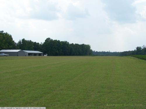 |
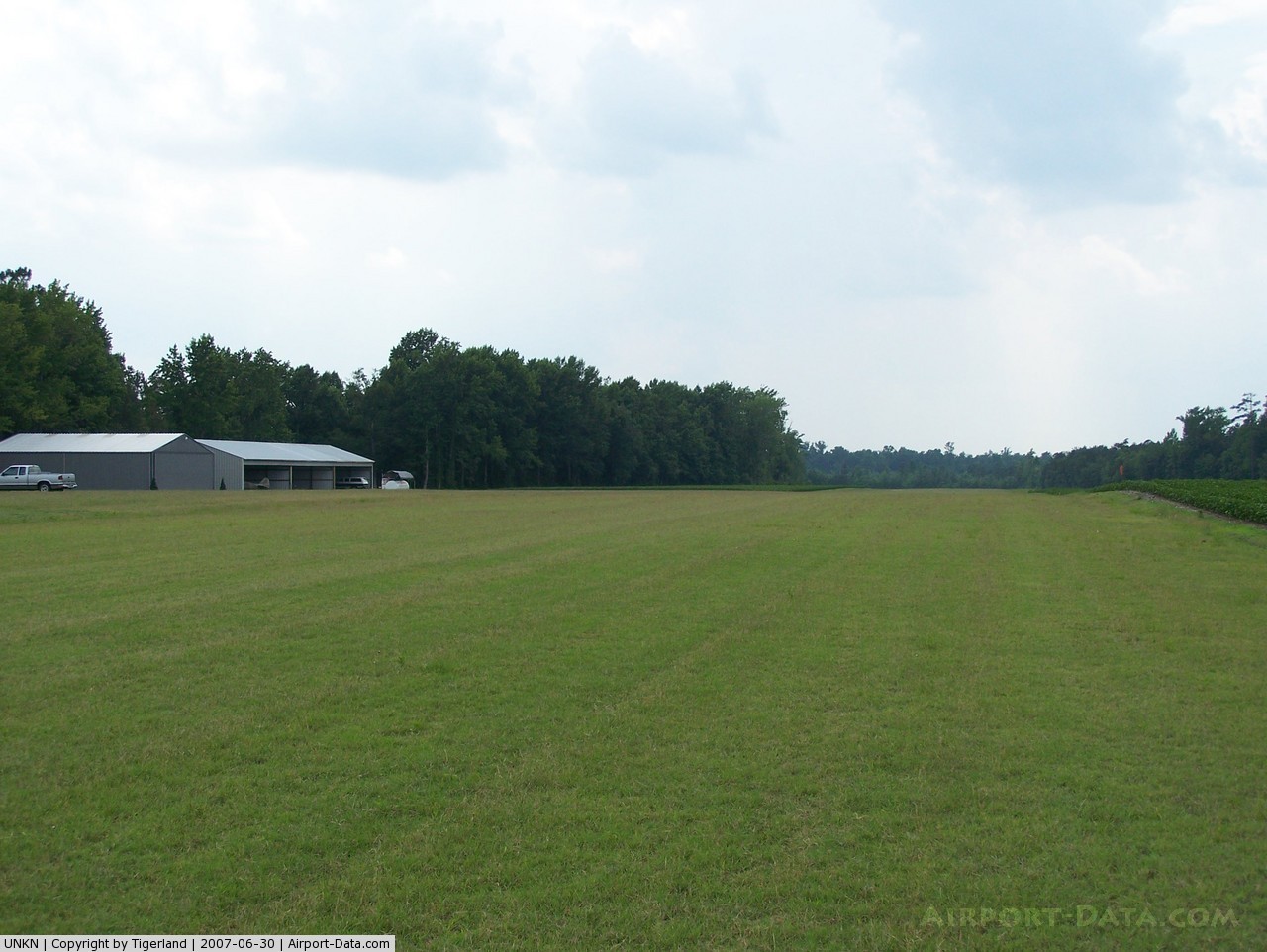
(Click on the photo to enlarge) |
Location & QuickFacts
| FAA Information Effective: | 2008-09-25 |
| Airport Identifier: | 7NC3 |
| Airport Status: | Operational |
| Longitude/Latitude: | 078-05-55.0000W/35-35-47.0000N
-78.098611/35.596389 (Estimated) |
| Elevation: | 225 ft / 68.58 m (Estimated) |
| Land: | 75 acres |
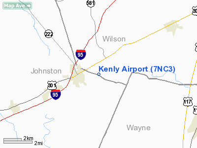
| From nearest city: | 2 nautical miles E of Kenly, NC |
| Location: | Johnston County, NC |
| Magnetic Variation: | () |
Owner & Manager
| Ownership: | Privately owned |
| Owner: | Thomas E. Gregorski |
| Address: | 1067 Scott Road
Kenly, NC 27542 |
| Phone number: | 919-284-4636 |
| Manager: | Thomas E. Gregorski |
| Address: | 1067 Scott Road
Kenly, NC 27542 |
| Phone number: | 919-284-4636 |
Airport Operations and Facilities
| Airport Use: | Private |
| Wind indicator: | Yes |
| Control Tower: | No |
| Sectional chart: | Charlotte |
| Region: | ASO - Southern |
| Boundary ARTCC: | ZDC - Washington |
| Tie-in FSS: | RDU - Raleigh |
| FSS Toll Free: | 1-800-WX-BRIEF |
Airport Communications
Runway Information
Runway 09/27
| Dimension: | 3480 x 100 ft / 1060.7 x 30.5 m |
| Surface: | TURF, |
| |
Runway 09 |
Runway 27 |
| Traffic Pattern: | Left | Left |
|
Radio Navigation Aids
| ID |
Type |
Name |
Ch |
Freq |
Var |
Dist |
| PGV | FAN MARKER | Belvoir | | | 06W | 35.1 nm |
| JYN | NDB | Wayne | | 208.00 | 08W | 10.6 nm |
| RW | NDB | Jambe | | 235.00 | 09W | 12.2 nm |
| EUU | NDB | Jnall | | 251.00 | 07W | 12.5 nm |
| JN | NDB | Jurly | | 263.00 | 09W | 17.6 nm |
| HQT | NDB | Harnett | | 417.00 | 08W | 29.9 nm |
| DKA | NDB | Kenan | | 332.00 | 07W | 32.7 nm |
| ETC | NDB | Tarboro | | 257.00 | 08W | 33.8 nm |
| AQE | NDB | Alwood | | 230.00 | 09W | 36.1 nm |
| LE | NDB | Leevy | | 350.00 | 07W | 36.3 nm |
| CTZ | NDB | Clinton | | 412.00 | 08W | 39.5 nm |
| FGP | NDB | Fort Bragg | | 393.00 | 07W | 44.5 nm |
| POB | NDB | Pope | | 338.00 | 07W | 47.4 nm |
| MCZ | NDB | Williamston | | 336.00 | 09W | 47.6 nm |
| RNW | NDB | Chocowinity | | 388.00 | 07W | 48.8 nm |
| HXO | NDB | Huntsboro | | 271.00 | 07W | 49.3 nm |
| GSB | TACAN | Seymour Johnson | 112X | | 08W | 16.9 nm |
| ISO | VORTAC | Kinston | 033X | 109.60 | 05W | 29.7 nm |
| TYI | VORTAC | Tar River | 125X | 117.80 | 05W | 29.9 nm |
| RDU | VORTAC | Raleigh/durham | 119X | 117.20 | 04W | 37.3 nm |
Remarks
- 227 FT TOWER 4 NM WSW AND 276 FT TOWER 2.4 NM WNW OF ARPT.
- PRVDD VFR OPNS AND PVT USE.
Images and information placed above are from
http://www.airport-data.com/airport/7NC3/
We thank them for the data!
| General Info
|
| Country |
United States
|
| State |
NORTH CAROLINA
|
| FAA ID |
7NC3
|
| Latitude |
36-20-33.478N
|
| Longitude |
080-54-50.267W
|
| Elevation |
1400 feet
|
| Near City |
ELKIN
|
We don't guarantee the information is fresh and accurate. The data may
be wrong or outdated.
For more up-to-date information please refer to other sources.
|
|