|
|
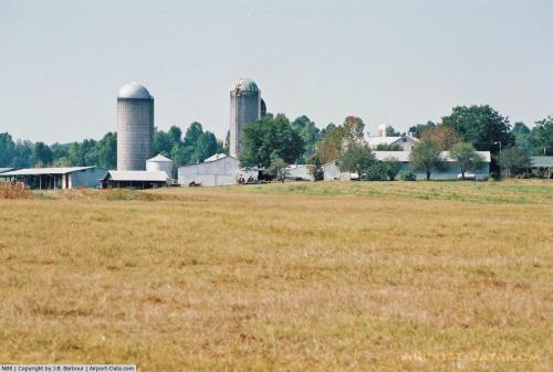 |
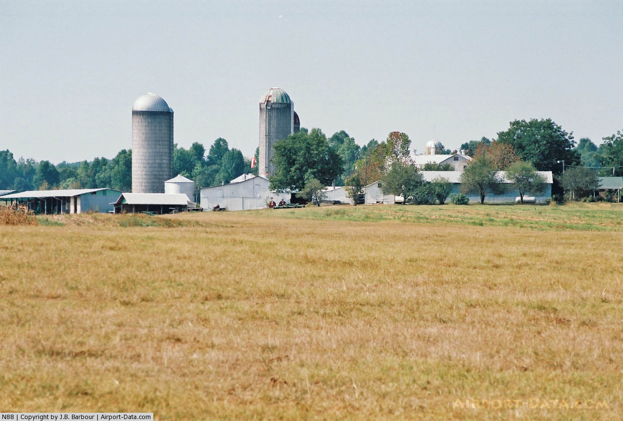
(Click on the photo to enlarge) |
Location & QuickFacts
| FAA Information Effective: | 2008-09-25 |
| Airport Identifier: | N88 |
| Airport Status: | Operational |
| Longitude/Latitude: | 079-37-39.0900W/35-55-35.4900N
-79.627525/35.926525 (Estimated) |
| Elevation: | 724 ft / 220.68 m (Surveyed) |
| Land: | 4 acres |
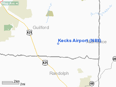
| From nearest city: | 2 nautical miles NE of Julian, NC |
| Location: | Guilford County, NC |
| Magnetic Variation: | 06W (1985) |
Owner & Manager
| Ownership: | Privately owned |
| Owner: | L. R. Keck |
| Address: | 2416 N.c. 62e
Julian, NC 27283 |
| Phone number: | 336-685-4664 |
| Manager: | L.r. Keck |
| Address: | 2416 N.c. 62e
Julain, NC 27283 |
| Phone number: | 336-685-4664 |
Airport Operations and Facilities
| Airport Use: | Open to public |
| Wind indicator: | Yes |
| Segmented Circle: | No |
| Control Tower: | No |
| Landing fee charge: | No |
| Sectional chart: | Charlotte |
| Region: | ASO - Southern |
| Boundary ARTCC: | ZDC - Washington |
| Tie-in FSS: | RDU - Raleigh |
| FSS on Airport: | No |
| FSS Toll Free: | 1-800-WX-BRIEF |
| NOTAMs Facility: | RDU (NOTAM-d service avaliable) |
Airport Communications
Airport Services
| Airframe Repair: | NONE |
| Power Plant Repair: | NONE |
| Bottled Oxygen: | NONE |
| Bulk Oxygen: | NONE |
Runway Information
Runway 05/23
| Dimension: | 1400 x 75 ft / 426.7 x 22.9 m |
| Surface: | TURF, Good Condition |
| |
Runway 05 |
Runway 23 |
| Traffic Pattern: | Left | Left |
| Obstruction: | 4 ft fence, 50 ft right of centerline | 4 ft fence, 0.0 ft from runway |
|
Radio Navigation Aids
| ID |
Type |
Name |
Ch |
Freq |
Var |
Dist |
| OQA | FAN MARKER | Rockingham County | | | | 31.6 nm |
| HB | NDB | Himun | | 361.00 | 08W | 3.7 nm |
| TOX | NDB | Siler City | | 371.00 | 07W | 12.8 nm |
| CQJ | NDB | City Lake | | 266.00 | 08W | 17.1 nm |
| SIF | NDB | Slammer | | 423.00 | 07W | 28.2 nm |
| HUR | NDB | Person | | 220.00 | 08W | 32.9 nm |
| SEN | NDB | Swearing/dcmsnd | | 260.00 | 06W | 33.8 nm |
| VU | NDB | Aller | | 346.00 | 06W | 34.4 nm |
| TT | NDB | Leeco | | 406.00 | 08W | 35.1 nm |
| EEJ | NDB | Lee County/dcmsnd | | 428.00 | 07W | 38.7 nm |
| DVZ | NDB | Davie | | 354.00 | 06W | 40.3 nm |
| UV | NDB | Bales | | 396.00 | 07W | 42.3 nm |
| RU | NDB | Rovdy | | 275.00 | 06W | 43.6 nm |
| LE | NDB | Leevy | | 350.00 | 07W | 44.1 nm |
| DAN | VOR | Danville | | 113.10 | 06W | 41.1 nm |
| LIB | VORTAC | Liberty | 077X | 113.00 | 03W | 6.9 nm |
| GSO | VORTAC | Greensboro | 109X | 116.20 | 03W | 18.4 nm |
| RDU | VORTAC | Raleigh/durham | 119X | 117.20 | 04W | 41.2 nm |
| SDZ | VORTAC | Sandhills | 055X | 111.80 | 03W | 42.8 nm |
Remarks
- BLDGS ON NW EDGE OF RY.
- AGRICULTURAL EQUIPMENT OCNLY ON RY.
- EXISTED PRIOR TO FAA ACT.
Images and information placed above are from
http://www.airport-data.com/airport/N88/
We thank them for the data!
| General Info
|
| Country |
United States
|
| State |
NORTH CAROLINA
|
| FAA ID |
N88
|
| Latitude |
35-55-35.490N
|
| Longitude |
079-37-39.090W
|
| Elevation |
724 feet
|
| Near City |
JULIAN
|
We don't guarantee the information is fresh and accurate. The data may
be wrong or outdated.
For more up-to-date information please refer to other sources.
|
|