|
|
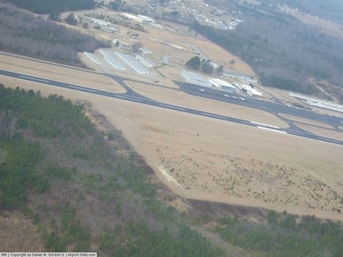 |
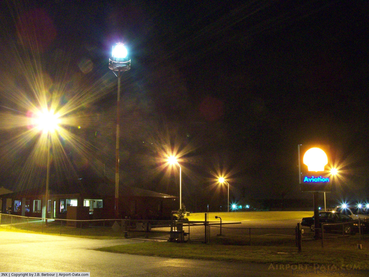
(Click on the photo to enlarge) |
 |
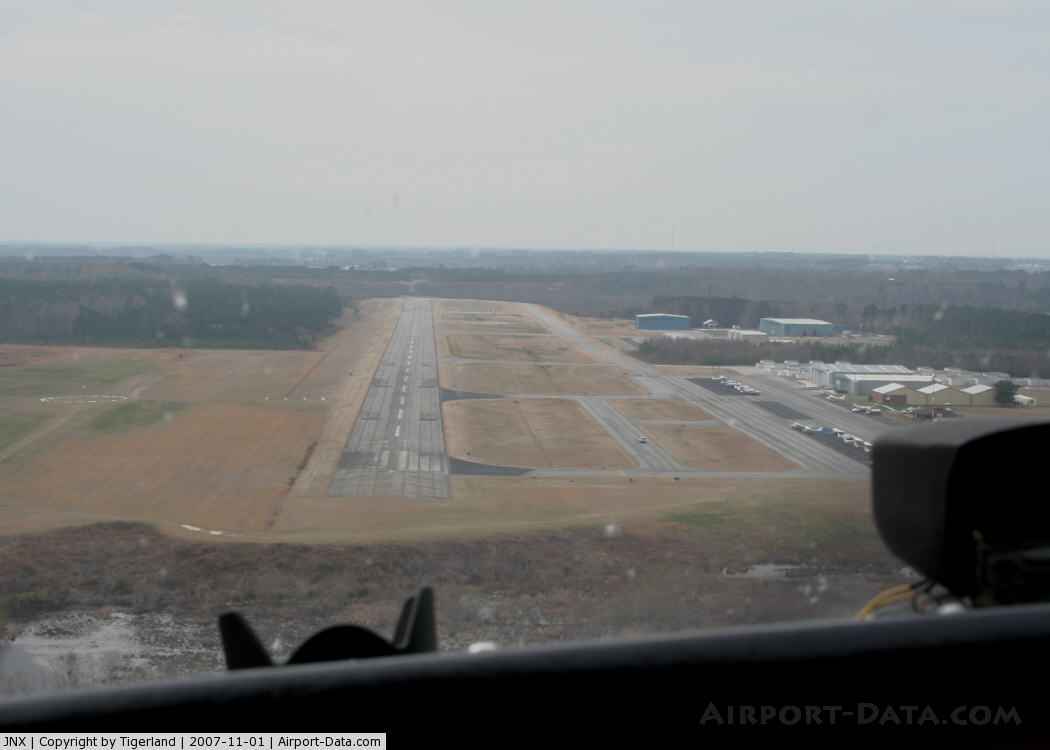
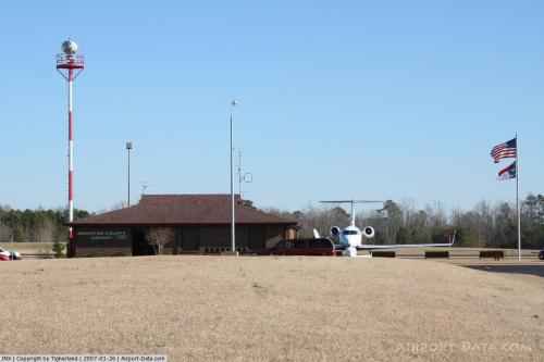
(Click on the photo to enlarge) |
 |
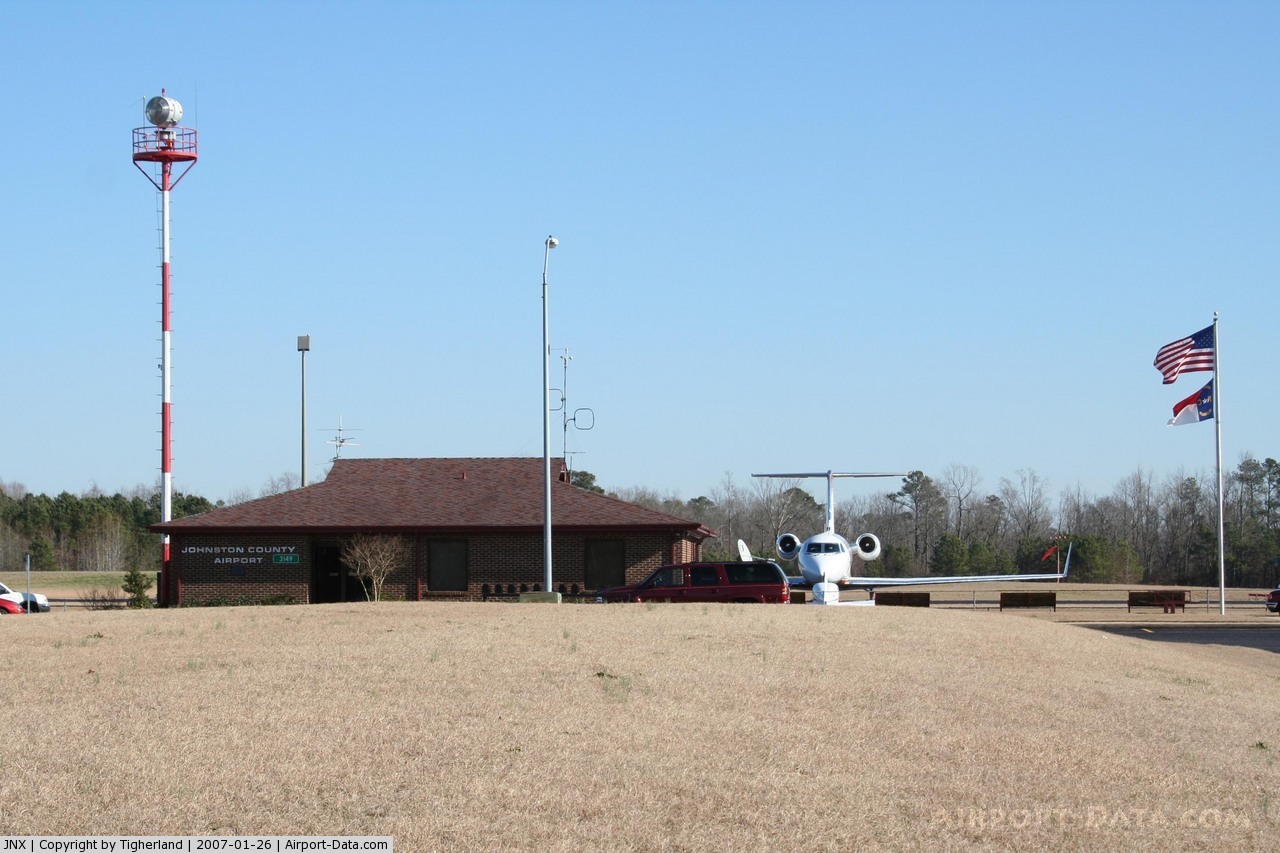
(Click on the photo to enlarge) |
 |
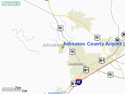
(Click on the photo to enlarge) |
Location & QuickFacts
| FAA Information Effective: | 2008-09-25 |
| Airport Identifier: | JNX |
| Airport Status: | Operational |
| Longitude/Latitude: | 078-23-25.1860W/35-32-27.3890N
-78.390329/35.540941 (Estimated) |
| Elevation: | 165 ft / 50.29 m (Estimated) |
| Land: | 463 acres |
| From nearest city: | 3 nautical miles NW of Smithfield, NC |
| Location: | Johnston County, NC |
| Magnetic Variation: | 07W (1985) |
Owner & Manager
| Ownership: | Publicly owned |
| Owner: | Johnston Co Arpt Auth |
| Address: | 3149 Swift Creek Rd
Smithfield, NC 27577-9803 |
| Phone number: | 919-934-0992 |
| Manager: | Ray Blackmon |
| Address: | 3149 Swift Creek Rd
Smithfield, NC 27577-9803 |
| Phone number: | 919-934-0992 |
Airport Operations and Facilities
| Airport Use: | Open to public |
| Wind indicator: | Yes |
| Segmented Circle: | Yes |
| Control Tower: | No |
| Lighting Schedule: | DUSK-DAWN
BETWEEN 2030-0600 ACTVT MIRL RY 03/21, MALSR RY 03, REIL RY 21, PAPI RYS 03 & 21 AND TWY LGTS - CTAF. |
| Beacon Color: | Clear-Green (lighted land airport) |
| Landing fee charge: | No |
| Sectional chart: | Charlotte |
| Region: | ASO - Southern |
| Traffic Pattern Alt: | 1035 ft |
| Boundary ARTCC: | ZDC - Washington |
| Tie-in FSS: | RDU - Raleigh |
| FSS on Airport: | No |
| FSS Toll Free: | 1-800-WX-BRIEF |
| NOTAMs Facility: | JNX (NOTAM-d service avaliable) |
| Federal Agreements: | NGY |
Airport Communications
| CTAF: | 122.800 |
| Unicom: | 122.800 |
Airport Services
| Fuel available: | 100LLA1+ |
| Airframe Repair: | MAJOR |
| Power Plant Repair: | MAJOR |
| Bulk Oxygen: | NONE |
Runway Information
Runway 03/21
| Dimension: | 5500 x 100 ft / 1676.4 x 30.5 m
HAS A 150 FT STOPWAY ON BOTH ENDS. |
| Surface: | ASPH, Good Condition |
| Weight Limit: | Single wheel: 65000 lbs.
Dual wheel: 65000 lbs. |
| Edge Lights: | Medium |
| |
Runway 03 |
Runway 21 |
| Longitude: | 078-23-38.4250W | 078-23-11.4250W |
| Latitude: | 35-32-02.4210N | 35-32-52.3400N |
| Elevation: | 148.00 ft | 165.00 ft |
| Alignment: | 23 | 127 |
| ILS Type: | ILS/DME
| |
| Traffic Pattern: | Left | Left |
| Markings: | Precision instrument, Fair Condition | Precision instrument, Fair Condition |
| Crossing Height: | 45.00 ft | 49.00 ft |
| VASI: | 4-light PAPI on left side | 4-light PAPI on left side |
| Visual Glide Angle: | 3.00° | 4.00° |
| Approach lights: | MALSR | |
| Runway End Identifier: | | Yes |
| Obstruction: | 16 ft trees, 531.0 ft from runway, 297 ft left of centerline, 21:1 slope to clear
36 FT TREES STARTING 8 FT FROM END RY 356 FT R CNTLN RY. | 51 ft trees, 477.0 ft from runway, 431 ft left of centerline, 5:1 slope to clear
5 FT GROUND 0-200 FT FROM THLD 200 FT L OF CNTRLN. |
|
Radio Navigation Aids
| ID |
Type |
Name |
Ch |
Freq |
Var |
Dist |
| PGV | FAN MARKER | Belvoir | | | 06W | 49.6 nm |
| JN | NDB | Jurly | | 263.00 | 09W | 4.3 nm |
| EUU | NDB | Jnall | | 251.00 | 07W | 4.3 nm |
| HQT | NDB | Harnett | | 417.00 | 08W | 15.4 nm |
| JYN | NDB | Wayne | | 208.00 | 08W | 24.0 nm |
| RW | NDB | Jambe | | 235.00 | 09W | 24.9 nm |
| LE | NDB | Leevy | | 350.00 | 07W | 28.3 nm |
| FGP | NDB | Fort Bragg | | 393.00 | 07W | 31.8 nm |
| POB | NDB | Pope | | 338.00 | 07W | 33.5 nm |
| CTZ | NDB | Clinton | | 412.00 | 08W | 34.0 nm |
| DKA | NDB | Kenan | | 332.00 | 07W | 36.4 nm |
| TT | NDB | Leeco | | 406.00 | 08W | 36.8 nm |
| EEJ | NDB | Lee County/dcmsnd | | 428.00 | 07W | 42.0 nm |
| HXO | NDB | Huntsboro | | 271.00 | 07W | 47.0 nm |
| ETC | NDB | Tarboro | | 257.00 | 08W | 47.5 nm |
| GSB | TACAN | Seymour Johnson | 112X | | 08W | 24.0 nm |
| POB | TACAN | Pope | 085X | | 07W | 38.5 nm |
| FAY | VOR/DME | Fayetteville | 025X | 108.80 | 04W | 41.0 nm |
| RDU | VORTAC | Raleigh/durham | 119X | 117.20 | 04W | 27.7 nm |
| ISO | VORTAC | Kinston | 033X | 109.60 | 05W | 42.0 nm |
| TYI | VORTAC | Tar River | 125X | 117.80 | 05W | 42.5 nm |
Remarks
- AVOID OVERFLIGHTS OF HOUSING AREA IN TFC PAT FOR NOISE ABATEMENT. FLY WIDER DNWNDS & LONGER DEP LEGS.
- GCO AVBL ON FREQ 135.075 THRU RDU CD & FLT SVCS.
- BE ALERT WHEN TAXING NEAR SOUTH RAMP/CORPORATE HANGAR.
- DEER ON AND INVOF ARPT.
- 30' DROPOFF 350' FROM RY 21 THR TO LEFT AND RIGHT OF CNTRLN.
- RY 21 HAS +65 FT POWERLINE (UNMKD) 2000 FT FROM THLD L & R OF CNTRLN.
- 50 FT AGL TWR 200 FT SW OF RY 03 CNTRLN.
Images and information placed above are from
http://www.airport-data.com/airport/JNX/
We thank them for the data!
| General Info
|
| Country |
United States
|
| State |
NORTH CAROLINA
|
| FAA ID |
JNX
|
| Latitude |
35-32-27.389N
|
| Longitude |
078-23-25.186W
|
| Elevation |
165 feet
|
| Near City |
SMITHFIELD
|
We don't guarantee the information is fresh and accurate. The data may
be wrong or outdated.
For more up-to-date information please refer to other sources.
|
|