|
|
| Jackson County Airport |
| IATA: none – ICAO: none – FAA LID: 24A |
| Summary |
| Airport type |
Public |
| Operator |
Jackson County Airport Authority |
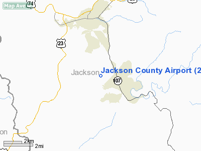
| Location |
Sylva, North Carolina |
| Elevation AMSL |
2,857 ft / 870.8 m |
| Coordinates |
35°19′03″N 83°12′36″W / 35.3175°N 83.21°W / 35.3175; -83.21Coordinates: 35°19′03″N 83°12′36″W / 35.3175°N 83.21°W / 35.3175; -83.21 |
| Runways |
| Direction |
Length |
Surface |
| ft |
m |
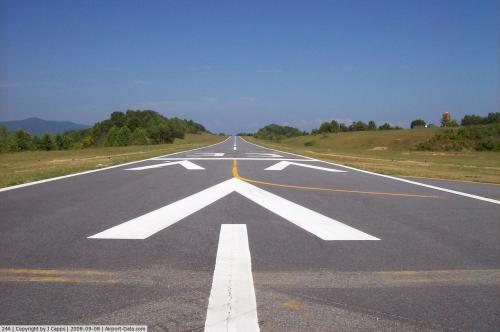
| 15/33 |
3,003 |
915 |
Asphalt |
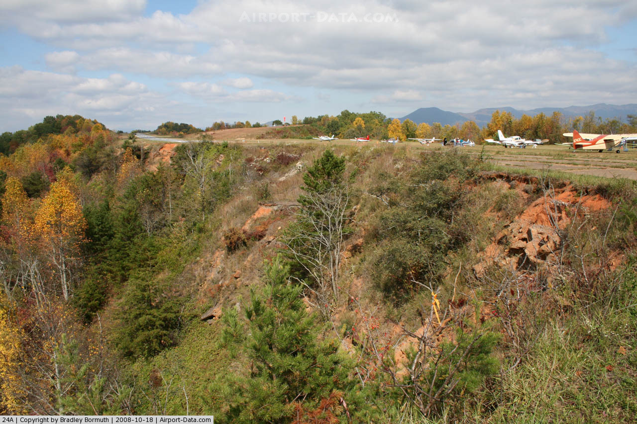
Jackson County Airport (FAA LID: 24A) is a small airfield situated on a ridge about three miles (5 km) southeast of the town of Sylva, the county seat of Jackson County, North Carolina. It is also about 1 mile west of the unincorporated town of Cullowhee, the home of Western Carolina University. The airport is owned and operated by the county. It sits at an elevation of 2,856 feet (870 meters) and covers an area of 147 acres (59 ha). The airport's traffic consists mostly of light single and twin engined private aircraft. Airport operations
- Open to the public
- Sectional chart: Atlanta
- Control tower: No
- Air Route Traffic Control Center: Atlanta Center
- Runway and Airfield Lights: On from dusk to dawn
- Beacon: White-green (lighted land airport)
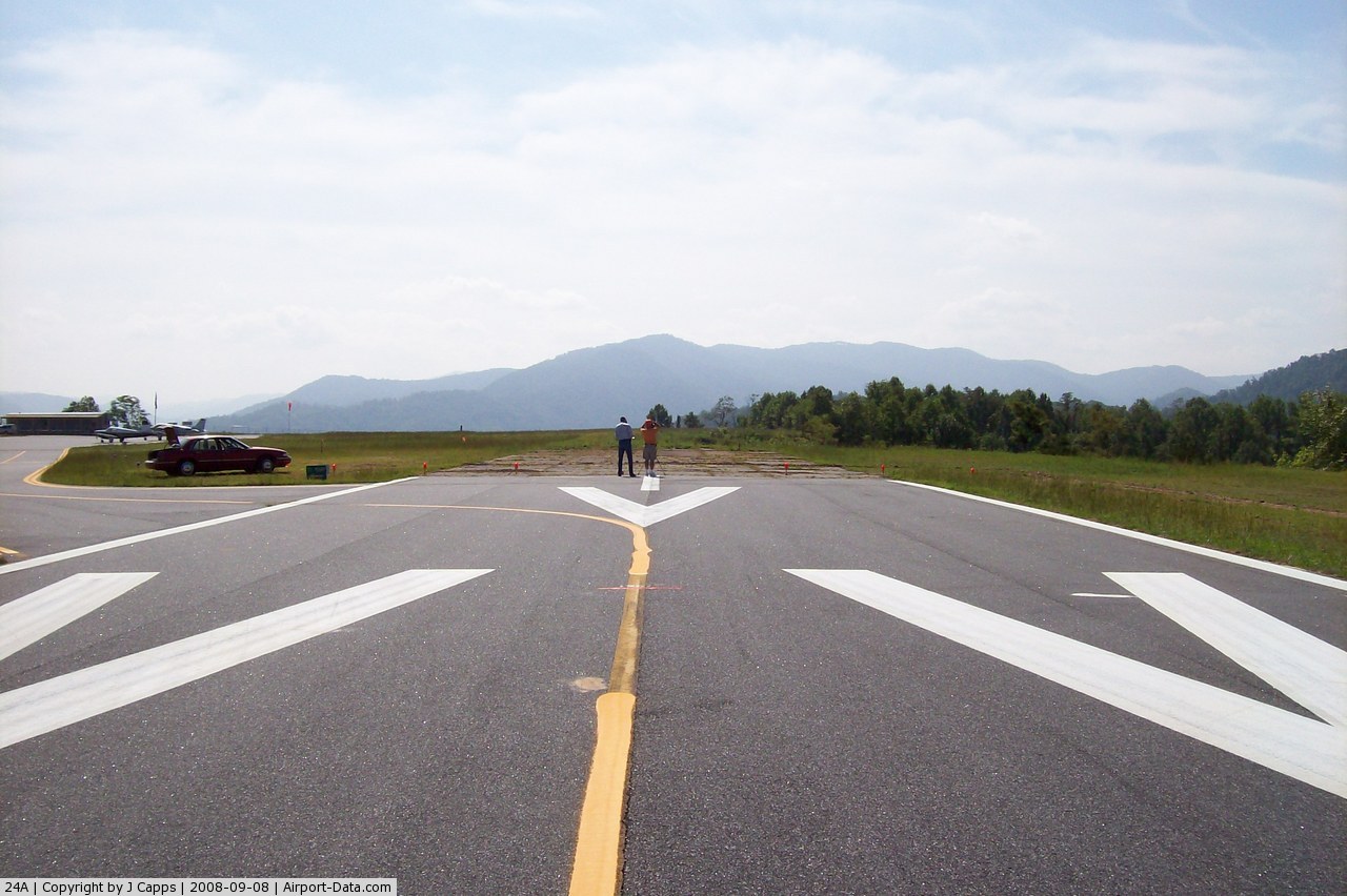
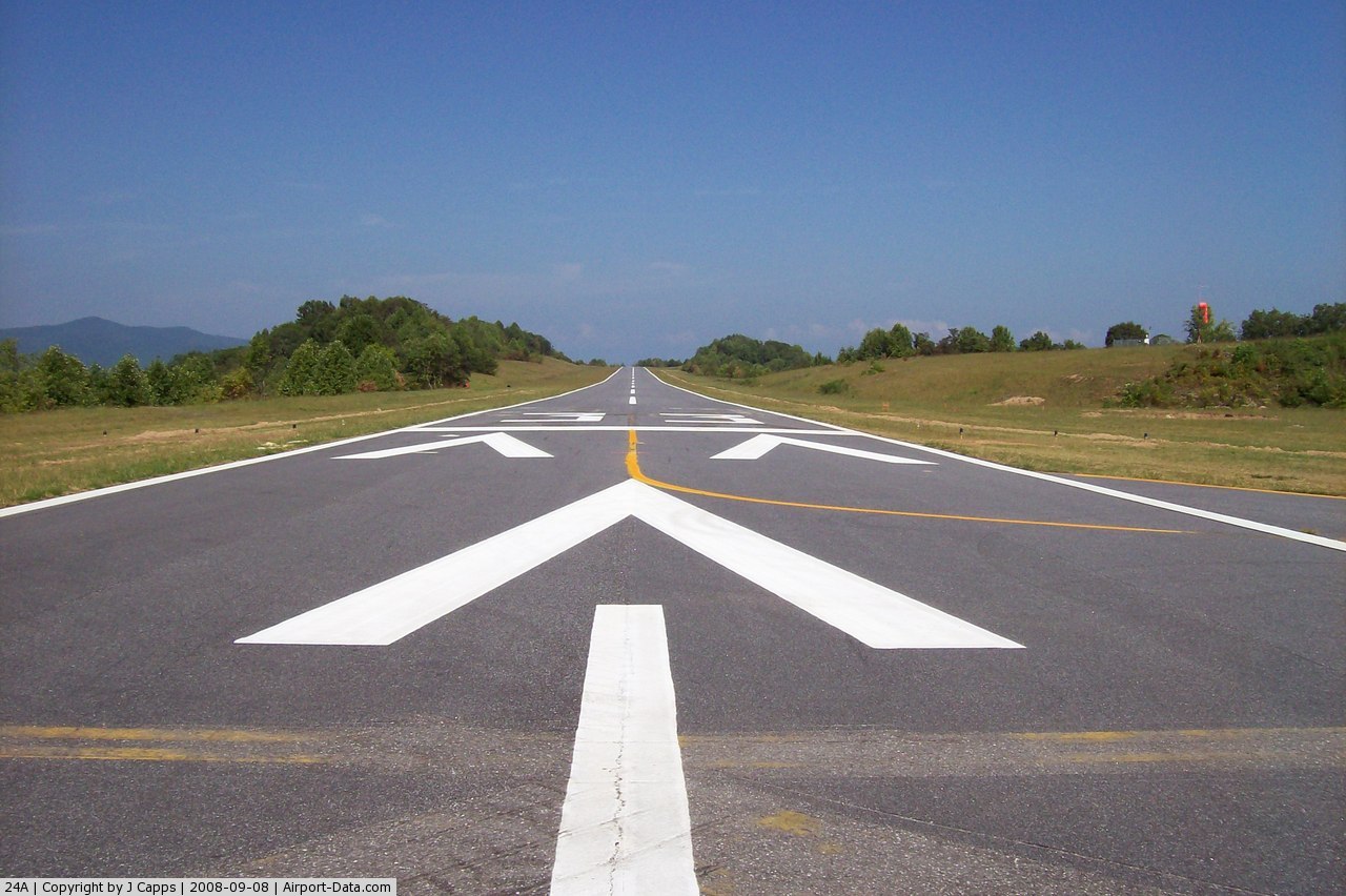
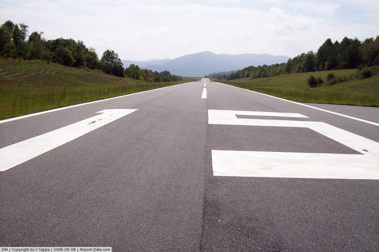
Runways
- Number of Runways: 1 (Runway 15/33)
- Dimensions: 3003 x 50 feet (915 x 15 meters)
- Surface: Asphalt, in good condition
- Weight bearing capacity: Single wheel, 12500 lbs
- Runway edge lights: Medium intensity
- Runway edge markings: Runway numbers are smaller than standard
Airport communications
Jackson County Airport has no control tower. Pilots communicate amongst themselves to coordinate landings and take-offs via the UNICOM frequency of 123.0 MHz
The above content comes from Wikipedia and is published under free licenses – click here to read more.
 |
(Click on the photo to enlarge) |
 |
(Click on the photo to enlarge) |
 |
(Click on the photo to enlarge) |
 |
(Click on the photo to enlarge) |
 |
(Click on the photo to enlarge) |
 |
(Click on the photo to enlarge) |
Location & QuickFacts
| FAA Information Effective: | 2008-09-25 |
| Airport Identifier: | 24A |
| Airport Status: | Operational |
| Longitude/Latitude: | 083-12-35.6990W/35-19-02.7610N
-83.209916/35.317434 (Estimated) |
| Elevation: | 2857 ft / 870.81 m (Surveyed) |
| Land: | 147 acres |
| From nearest city: | 3 nautical miles SE of Sylva, NC |
| Location: | Jackson County, NC |
| Magnetic Variation: | 03W (1985) |
Owner & Manager
| Ownership: | Publicly owned |
| Owner: | Jackson Co Arpt Authority |
| Address: | Po Box 1666
Cullowhee, NC 28723 |
| Phone number: | 828-227-3435 |
| Manager: | Tom Mcclure |
| Address: | P. O. Box 1666
Cullowhee, NC 28723 |
| Phone number: | 828-227-3435 |
Airport Operations and Facilities
| Airport Use: | Open to public |
| Wind indicator: | Yes |
| Segmented Circle: | Yes |
| Control Tower: | No |
| Lighting Schedule: | DUSK-DAWN
ACTVT MIRL RY 15/33 - CTAF. |
| Beacon Color: | Clear-Green (lighted land airport) |
| Landing fee charge: | No |
| Sectional chart: | Atlanta |
| Region: | ASO - Southern |
| Traffic Pattern Alt: | 1000 ft |
| Boundary ARTCC: | ZTL - Atlanta |
| Tie-in FSS: | RDU - Raleigh |
| FSS on Airport: | No |
| FSS Toll Free: | 1-800-WX-BRIEF |
| NOTAMs Facility: | RDU (NOTAM-d service avaliable) |
| Federal Agreements: | NGY |
Airport Communications
| CTAF: | 123.000 |
| Unicom: | 123.000 |
Airport Services
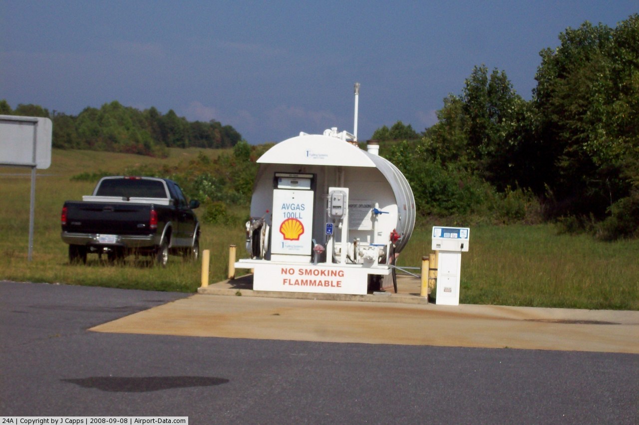
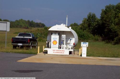
| Fuel available: | 100LL
SELF-SERVICE FUEL AVBL 24 HRS WITH CREDIT CARD. |
| Bottled Oxygen: | NONE |
| Bulk Oxygen: | NONE |
Runway Information
Runway 15/33
| Dimension: | 3003 x 50 ft / 915.3 x 15.2 m |
| Surface: | ASPH, Good Condition |
| Weight Limit: | Single wheel: 12500 lbs. |
| Edge Lights: | Medium |
| |
Runway 15 |
Runway 33 |
| Longitude: | 083-12-46.8740W | 083-12-24.5250W |
| Latitude: | 35-19-14.4490N | 35-18-51.0730N |
| Elevation: | 2857.00 ft | 2808.00 ft |
| Traffic Pattern: | Left | Left |
| Markings: | Nonstandard, Fair Condition
RY NUMBERS SMALLER THAN STANDARD. | Nonstandard, Fair Condition |
| Obstruction: | 30 ft trees, 233.0 ft from runway, 88 ft left of centerline, 1:1 slope to clear
+25 FT GROUND 120 FT R & L OF CNTRLN ADJ TO THLD. | , 50:1 slope to clear |
|
Radio Navigation Aids
| ID |
Type |
Name |
Ch |
Freq |
Var |
Dist |
| BRA | NDB | Broad River | | 379.00 | 04W | 36.3 nm |
| TTQ | NDB | Tomotla | | 335.00 | 01W | 38.6 nm |
| LQK | NDB | Lake Keowee | | 408.00 | 04W | 39.3 nm |
| CEU | NDB | Clemson | | 257.00 | 05W | 41.8 nm |
| JXT | NDB | Jefferson | | 346.00 | 04W | 49.4 nm |
| SOT | VORTAC | Snowbird | 025X | 108.80 | 04W | 29.4 nm |
| ODF | VORTAC | Foothills | 081X | 113.40 | 00E | 37.6 nm |
| HRS | VORTAC | Harris | 035X | 109.80 | 00E | 41.4 nm |
| SUG | VORTAC | Sugarloaf Mountain | 059X | 112.20 | 02W | 46.5 nm |
| VXV | VORTAC | Volunteer | 111X | 116.40 | 03W | 48.6 nm |
| TYS | VOT | Knoxville | | 112.00 | | 48.5 nm |
Remarks
- MTN HAZARD BCN LGTS LOCATED ON MTN RANGE APPROX 1.7 MILES SSW OF ARPT.
Images and information placed above are from
http://www.airport-data.com/airport/24A/
We thank them for the data!
| General Info
|
| Country |
United States
|
| State |
NORTH CAROLINA
|
| FAA ID |
24A
|
| Latitude |
35-19-02.761N
|
| Longitude |
083-12-35.699W
|
| Elevation |
2857 feet
|
| Near City |
SYLVA
|
We don't guarantee the information is fresh and accurate. The data may
be wrong or outdated.
For more up-to-date information please refer to other sources.
|
|