|
|
 |
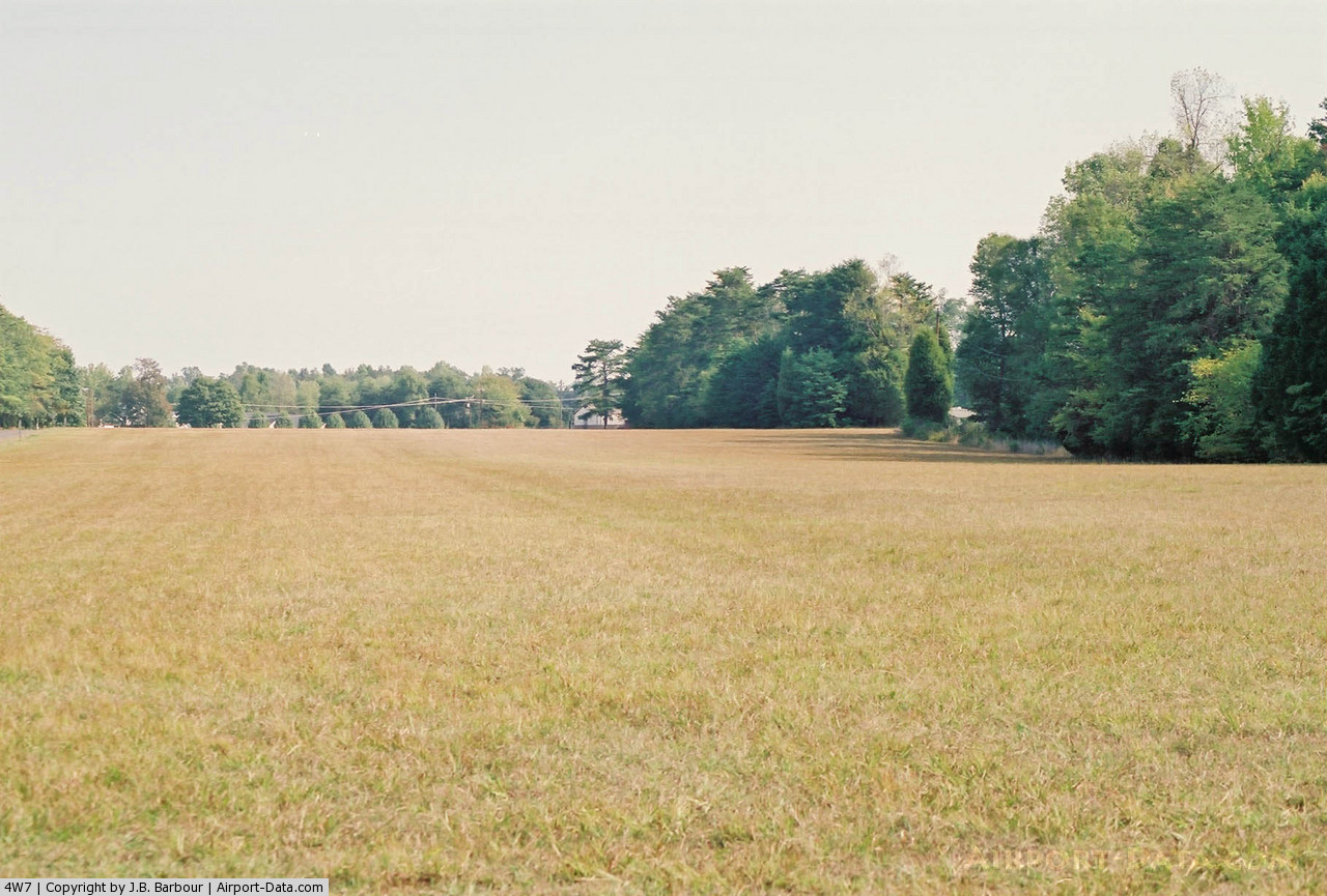
(Click on the photo to enlarge) |
Location & QuickFacts
| FAA Information Effective: | 2008-09-25 |
| Airport Identifier: | 4W7 |
| Airport Status: | Operational |
| Longitude/Latitude: | 079-16-59.0620W/36-04-00.4980N
-79.283073/36.066805 (Estimated) |
| Elevation: | 680 ft / 207.26 m (Estimated) |
| Land: | 10 acres |
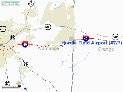
| From nearest city: | 2 nautical miles SW of Mebane, NC |
| Location: | Alamance County, NC |
| Magnetic Variation: | 07W (1985) |
Owner & Manager
| Ownership: | Privately owned |
| Owner: | J. H. Hurdle Jr. |
| Address: | 1082 Mebane Airport Road
Mebane, NC 27302 |
| Phone number: | 919-563-9610 |
| Manager: | J. H. Hurdle Jr. |
| Address: | 1082 Mebane Airport Road
Mebane, NC 27302 |
| Phone number: | 919-563-9610 |
Airport Operations and Facilities
| Airport Use: | Open to public |
| Wind indicator: | Yes |
| Segmented Circle: | No |
| Control Tower: | No |
| Landing fee charge: | No |
| Sectional chart: | Cincinnati |
| Region: | ASO - Southern |
| Boundary ARTCC: | ZDC - Washington |
| Tie-in FSS: | RDU - Raleigh |
| FSS on Airport: | No |
| FSS Toll Free: | 1-800-WX-BRIEF |
| NOTAMs Facility: | RDU (NOTAM-d service avaliable) |
Airport Communications
Airport Services
| Airframe Repair: | NONE |
| Power Plant Repair: | NONE |
| Bottled Oxygen: | NONE |
| Bulk Oxygen: | NONE |
Runway Information
Runway 03/21
| Dimension: | 2200 x 150 ft / 670.6 x 45.7 m |
| Surface: | TURF, Good Condition |
| |
Runway 03 |
Runway 21 |
| Traffic Pattern: | Left | Left |
| Obstruction: | 10 ft road | 30 ft pline, 0.0 ft from runway |
|
Radio Navigation Aids
| ID |
Type |
Name |
Ch |
Freq |
Var |
Dist |
| OQA | FAN MARKER | Rockingham County | | | | 34.2 nm |
| HUR | NDB | Person | | 220.00 | 08W | 14.5 nm |
| HB | NDB | Himun | | 361.00 | 08W | 15.6 nm |
| TOX | NDB | Siler City | | 371.00 | 07W | 20.3 nm |
| LE | NDB | Leevy | | 350.00 | 07W | 28.5 nm |
| SIF | NDB | Slammer | | 423.00 | 07W | 30.0 nm |
| TT | NDB | Leeco | | 406.00 | 08W | 34.9 nm |
| HXO | NDB | Huntsboro | | 271.00 | 07W | 35.2 nm |
| CQJ | NDB | City Lake | | 266.00 | 08W | 35.3 nm |
| EEJ | NDB | Lee County/dcmsnd | | 428.00 | 07W | 41.8 nm |
| UV | NDB | Bales | | 396.00 | 07W | 43.9 nm |
| HQT | NDB | Harnett | | 417.00 | 08W | 48.3 nm |
| DAN | VOR | Danville | | 113.10 | 06W | 30.3 nm |
| LIB | VORTAC | Liberty | 077X | 113.00 | 03W | 22.2 nm |
| RDU | VORTAC | Raleigh/durham | 119X | 117.20 | 04W | 27.0 nm |
| GSO | VORTAC | Greensboro | 109X | 116.20 | 03W | 33.7 nm |
| SBV | VORTAC | South Boston | 041X | 110.40 | 05W | 38.8 nm |
Remarks
- AIRPORT MANAGER REQUESTS LAND RWY 03 TAKEOFF RWY 21 WHEN WINDS ALLOW FOR NOISE ABATEMENT.
- RY 03 HAS +4' FENCE 20' FM THR L&R OF CNTRLN.
- BEGAN OPERNS PRIOR TO 1955.
Images and information placed above are from
http://www.airport-data.com/airport/4W7/
We thank them for the data!
| General Info
|
| Country |
United States
|
| State |
NORTH CAROLINA
|
| FAA ID |
4W7
|
| Latitude |
36-04-00.498N
|
| Longitude |
079-16-59.062W
|
| Elevation |
680 feet
|
| Near City |
MEBANE
|
We don't guarantee the information is fresh and accurate. The data may
be wrong or outdated.
For more up-to-date information please refer to other sources.
|
|