 |
|
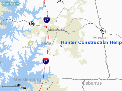
Hunter Construction Heliport |
Location & QuickFacts
| FAA Information Effective: | 2008-09-25 |
| Airport Identifier: | NR06 |
| Airport Status: | Operational |
| Longitude/Latitude: | 080-49-49.0000W/35-33-46.0000N
-80.830278/35.562778 (Estimated) |
| Elevation: | 850 ft / 259.08 m (Estimated) |
| Land: | 0 acres |
| From nearest city: | 2 nautical miles S of Mooresville, NC |
| Location: | Iredell County, NC |
| Magnetic Variation: | () |
Owner & Manager
| Ownership: | Privately owned |
| Owner: | Jason Hunter |
| Address: | 118 Timber Road
Mooresville, NC 28117 |
| Phone number: | 704-400-0437 |
| Manager: | Brent Gourley |
| Address: | 118 Timber Road
Mooresville, NC 28117 |
| Phone number: | 704-400-0437 |
Airport Operations and Facilities
| Airport Use: | Private |
| Wind indicator: | Yes |
| Control Tower: | No |
| Lighting Schedule: | DUSK-DAWN |
| Sectional chart: | Charlotte |
| Region: | ASO - Southern |
| Boundary ARTCC: | ZTL - Atlanta |
| Tie-in FSS: | RDU - Raleigh |
| FSS Toll Free: | 1-800-WX-BRIEF |
Runway Information
Helipad H1
| Dimension: | 25 x 25 ft / 7.6 x 7.6 m |
| Surface: | CONC, |
| |
Runway H1 |
Runway |
| Traffic Pattern: | Left | Left |
|
Radio Navigation Aids
| ID |
Type |
Name |
Ch |
Freq |
Var |
Dist |
| MRN | FAN MARKER | Lenoir | | | 03W | 41.2 nm |
| IZN | NDB | Lincolnton | | 432.00 | 06W | 12.6 nm |
| VW | NDB | Temky | | 280.00 | 05W | 17.1 nm |
| RU | NDB | Rovdy | | 275.00 | 06W | 19.5 nm |
| HK | NDB | Tawba | | 332.00 | 06W | 26.8 nm |
| GHJ | NDB | Stonia | | 260.00 | 06W | 27.5 nm |
| DVZ | NDB | Davie | | 354.00 | 06W | 27.9 nm |
| SEN | NDB | Swearing/dcmsnd | | 260.00 | 06W | 29.1 nm |
| UKF | NDB | Wilki | | 209.00 | 06W | 35.5 nm |
| VU | NDB | Aller | | 346.00 | 06W | 37.0 nm |
| TWL | NDB | Wesley | | 204.00 | 06W | 37.2 nm |
| SLP | NDB | First River | | 417.00 | 06W | 42.0 nm |
| FIQ | NDB | Fiddlers | | 391.00 | 07W | 42.0 nm |
| UZ | NDB | Rally | | 227.00 | 05W | 42.3 nm |
| ZEF | NDB | Zephyr | | 326.00 | 05W | 45.4 nm |
| CQJ | NDB | City Lake | | 266.00 | 08W | 48.0 nm |
| AFP | NDB | Anson County | | 283.00 | 07W | 48.9 nm |
| CLT | VOR/DME | Charlotte | 097X | 115.00 | 05W | 23.2 nm |
| BZM | VOR/DME | Barretts Mountain | 045X | 110.80 | 06W | 27.2 nm |
| FML | VORTAC | Fort Mill | 071X | 112.40 | 02W | 35.0 nm |
| CLT | VOT | Charlotte | | 112.00 | | 21.6 nm |
| HKY | VOT | Hickory Regional | | 110.00 | | 29.4 nm |
Remarks
- 150 FT PLINE 1500 FT NORTH OF PAD AND 35 FT BLDG 250 FT SOUTH OF PAD.
- SEE AIRSPACE CASE 2006-ASO-136-NRA.
Images and information placed above are from
http://www.airport-data.com/airport/NR06/
We thank them for the data!
|
|


