|
|
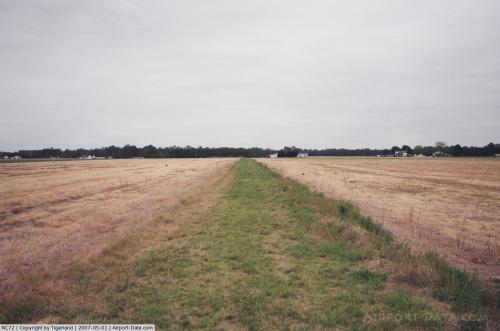 |
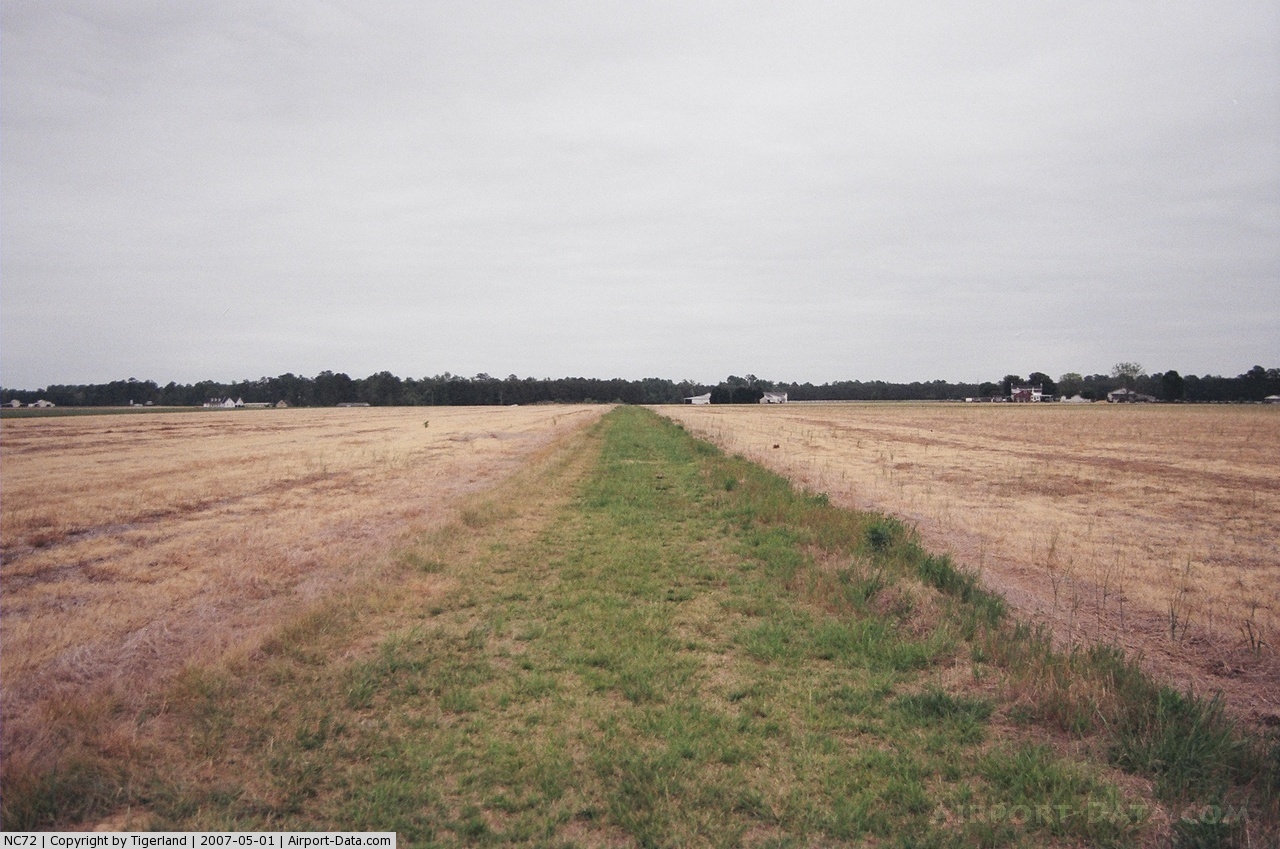
(Click on the photo to enlarge) |
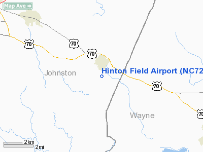
Location & QuickFacts
| FAA Information Effective: | 2008-09-25 |
| Airport Identifier: | NC72 |
| Airport Status: | Operational |
| Longitude/Latitude: | 078-09-35.9780W/35-27-05.5800N
-78.159994/35.451550 (Estimated) |
| Elevation: | 152 ft / 46.33 m (Estimated) |
| Land: | 0 acres |
| From nearest city: | 1 nautical miles SE of Princeton, NC |
| Location: | Johnston County, NC |
| Magnetic Variation: | 07W (1985) |
Owner & Manager
| Ownership: | Privately owned |
| Owner: | Jim Hinton
SEND ALL MAIL TO THE AIRPORT MANAGER. |
| Address: | 960 Old Hinton Road
Princeton, NC 27569-8717 |
| Phone number: | 919-936-3501 |
| Manager: | Ken Starling |
| Address: | 106 Iris Drive
Princeton, NC 27569 |
| Phone number: | 919-936-2261 |
Airport Operations and Facilities
| Airport Use: | Private |
| Segmented Circle: | No |
| Control Tower: | No |
| Lighting Schedule: | PHONE REQ
FOR ROTG BCN CALL 919-936-2261. |
| Beacon Color: | Clear-Green (lighted land airport) |
| Sectional chart: | Charlotte |
| Region: | ASO - Southern |
| Boundary ARTCC: | ZDC - Washington |
| Tie-in FSS: | RDU - Raleigh |
| FSS on Airport: | No |
| FSS Toll Free: | 1-800-WX-BRIEF |
Runway Information
Runway 05/23
| Dimension: | 2000 x 35 ft / 609.6 x 10.7 m |
| Surface: | TURF, |
| |
Runway 05 |
Runway 23 |
| Traffic Pattern: | Left | Left |
| Obstruction: | | 12 ft road, 20.0 ft from runway |
|
Radio Navigation Aids
| ID |
Type |
Name |
Ch |
Freq |
Var |
Dist |
| PGV | FAN MARKER | Belvoir | | | 06W | 39.7 nm |
| JN | NDB | Jurly | | 263.00 | 09W | 13.1 nm |
| EUU | NDB | Jnall | | 251.00 | 07W | 13.3 nm |
| JYN | NDB | Wayne | | 208.00 | 08W | 13.5 nm |
| RW | NDB | Jambe | | 235.00 | 09W | 21.3 nm |
| HQT | NDB | Harnett | | 417.00 | 08W | 25.2 nm |
| DKA | NDB | Kenan | | 332.00 | 07W | 25.7 nm |
| CTZ | NDB | Clinton | | 412.00 | 08W | 30.3 nm |
| FGP | NDB | Fort Bragg | | 393.00 | 07W | 37.1 nm |
| LE | NDB | Leevy | | 350.00 | 07W | 39.6 nm |
| POB | NDB | Pope | | 338.00 | 07W | 41.2 nm |
| AQE | NDB | Alwood | | 230.00 | 09W | 41.5 nm |
| ETC | NDB | Tarboro | | 257.00 | 08W | 41.8 nm |
| ACZ | NDB | Pendy | | 379.00 | 09W | 44.9 nm |
| TT | NDB | Leeco | | 406.00 | 08W | 48.0 nm |
| GSB | TACAN | Seymour Johnson | 112X | | 08W | 11.6 nm |
| POB | TACAN | Pope | 085X | | 07W | 45.7 nm |
| FAY | VOR/DME | Fayetteville | 025X | 108.80 | 04W | 44.9 nm |
| ISO | VORTAC | Kinston | 033X | 109.60 | 05W | 29.9 nm |
| TYI | VORTAC | Tar River | 125X | 117.80 | 05W | 38.6 nm |
| RDU | VORTAC | Raleigh/durham | 119X | 117.20 | 04W | 39.6 nm |
Remarks
- PRVDD VFR/PVT USE; AND EXTREME CTN IS USED BECAUSE OF NUMEROUS PLINES & LOW-LEVEL MIL TRAINING ROUTES IN IMMEDIATE VICINITY.
Images and information placed above are from
http://www.airport-data.com/airport/NC72/
We thank them for the data!
| General Info
|
| Country |
United States
|
| State |
NORTH CAROLINA
|
| FAA ID |
NC72
|
| Latitude |
35-27-05.580N
|
| Longitude |
078-09-35.978W
|
| Elevation |
152 feet
|
| Near City |
PRINCETON
|
We don't guarantee the information is fresh and accurate. The data may
be wrong or outdated.
For more up-to-date information please refer to other sources.
|
|