 |
|
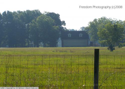 |
(Click on the photo to enlarge) |
Location & QuickFacts
| FAA Information Effective: | 2008-09-25 |
| Airport Identifier: | 62NC |
| Airport Status: | Operational |
| Longitude/Latitude: | 076-56-40.7960W/34-56-12.5750N
-76.944666/34.936826 (Estimated) |
| Elevation: | 30 ft / 9.14 m (Estimated) |
| Land: | 0 acres |
| From nearest city: | 4 nautical miles N of Havelock, NC |
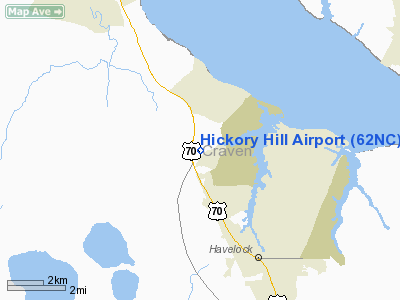
| Location: | Craven County, NC |
| Magnetic Variation: | 08W (1985) |
Owner & Manager
| Ownership: | Privately owned |
| Owner: | Gene A. Jackson |
| Address: | Po Box 249
Havelock, NC 28532 |
| Phone number: | 252-447-7122 |
| Manager: | Gene A Jackson |
| Address: | 8100 Hwy 70 East
New Bern, NC 28560 |
| Phone number: | 252-447-1234 |
Airport Operations and Facilities
| Airport Use: | Private |
| Wind indicator: | Yes |
| Segmented Circle: | No |
| Control Tower: | No |
| Landing fee charge: | No |
| Sectional chart: | Charlotte |
| Region: | ASO - Southern |
| Boundary ARTCC: | ZDC - Washington |
| Tie-in FSS: | RDU - Raleigh |
| FSS on Airport: | No |
| FSS Toll Free: | 1-800-WX-BRIEF |
Airport Services
| Airframe Repair: | NONE |
| Power Plant Repair: | NONE |
Runway Information
Runway 04/22
| Dimension: | 2200 x 100 ft / 670.6 x 30.5 m |
| Surface: | ASPH-TURF,
CNTR 30' ASPH FULL LENGTH. |
| |
Runway 04 |
Runway 22 |
| Traffic Pattern: | Left | Right |
|
Radio Navigation Aids
| ID |
Type |
Name |
Ch |
Freq |
Var |
Dist |
| PGV | FAN MARKER | Belvoir | | | 06W | 47.4 nm |
| MRH | NDB | Morehead | | 269.00 | 08W | 18.6 nm |
| NCA | NDB | New River | | 356.00 | 08W | 27.2 nm |
| RNW | NDB | Chocowinity | | 388.00 | 07W | 35.3 nm |
| DKA | NDB | Kenan | | 332.00 | 07W | 48.7 nm |
| DIW | NDB/DME | Dixon | 107X | 198.00 | 08W | 33.5 nm |
| OUC | NDB/DME | Pamlico/dcmsnd | 034X | 404.00 | 09W | 48.3 nm |
| NKT | TACAN | Cherry Point | 075X | | 09W | 4.0 nm |
| NJM | TACAN | Bogue Mcalf | 067X | | 08W | 15.5 nm |
| NCA | TACAN | New River | 101X | | 08W | 28.1 nm |
| EWN | VOR/DME | New Bern | 083X | 113.60 | 08W | 9.6 nm |
| ISO | VORTAC | Kinston | 033X | 109.60 | 05W | 39.9 nm |
Remarks
- VFR OPERATIONS, PVT USE ONLY; COMPATIBLE OPNL AGREEMENT ESTAB W/MCAS CHERRY POINT.
Images and information placed above are from
http://www.airport-data.com/airport/62NC/
We thank them for the data!
| General Info
|
| Country |
United States
|
| State |
NORTH CAROLINA
|
| FAA ID |
62NC
|
| Latitude |
34-56-12.575N
|
| Longitude |
076-56-40.796W
|
| Elevation |
30 feet
|
| Near City |
HAVELOCK
|
We don't guarantee the information is fresh and accurate. The data may
be wrong or outdated.
For more up-to-date information please refer to other sources.
|
|


