|
|
 |
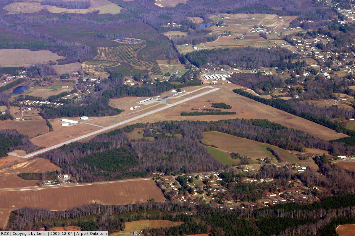
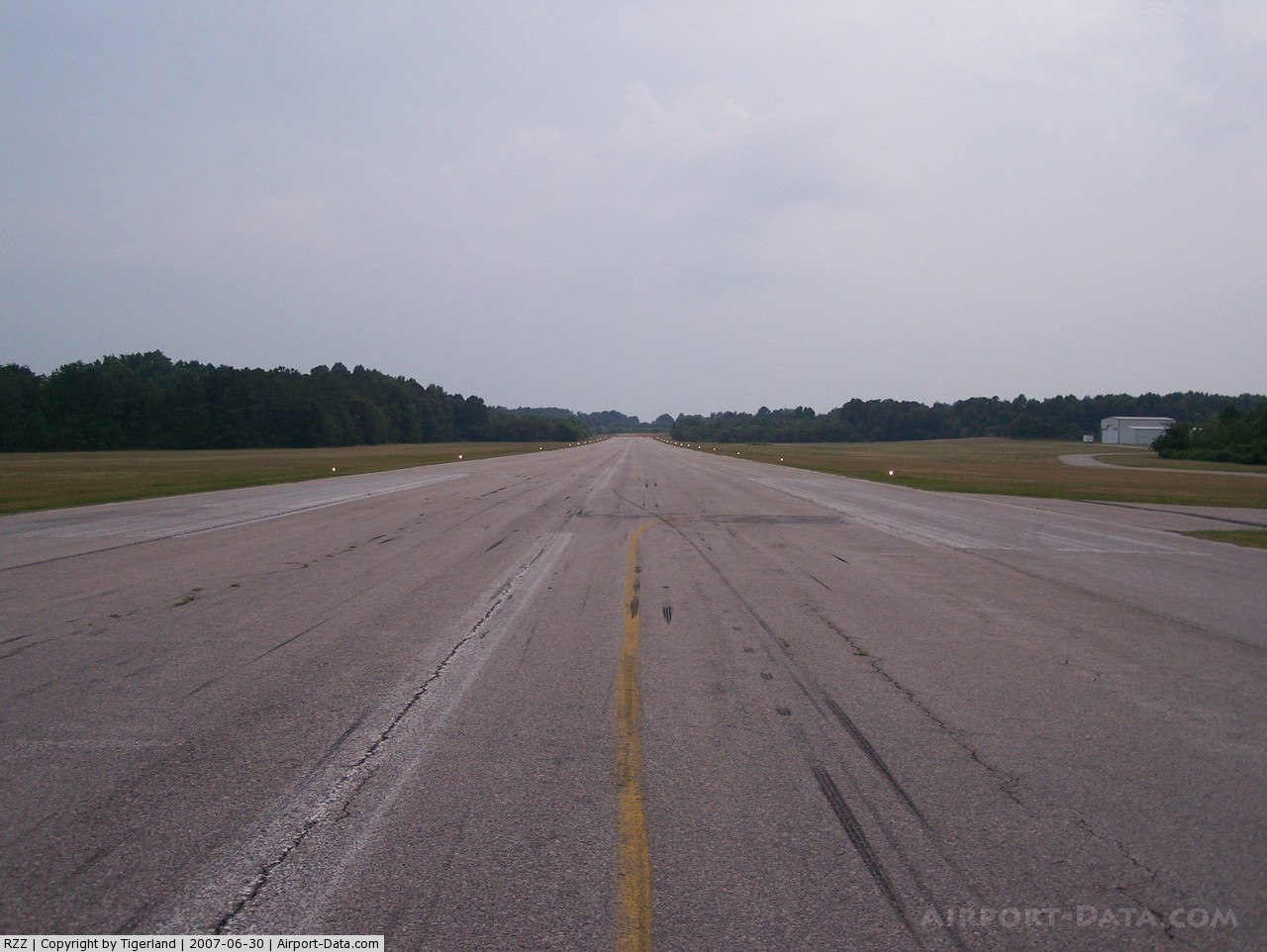
(Click on the photo to enlarge) |
 |
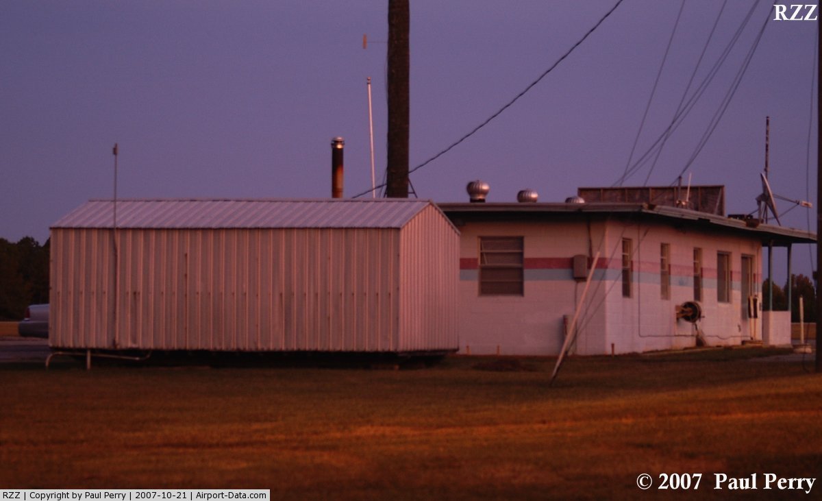
(Click on the photo to enlarge) |
 |
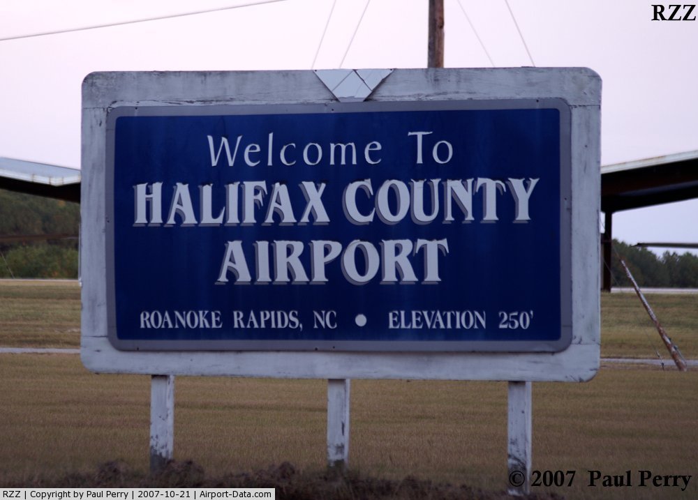
(Click on the photo to enlarge) |
 |
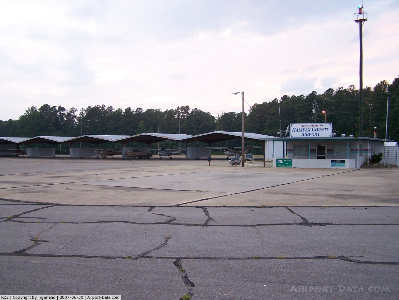
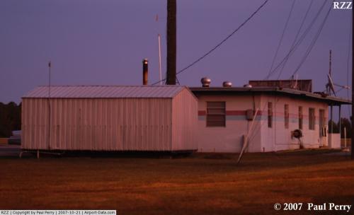
(Click on the photo to enlarge) |
 |
(Click on the photo to enlarge) |
 |
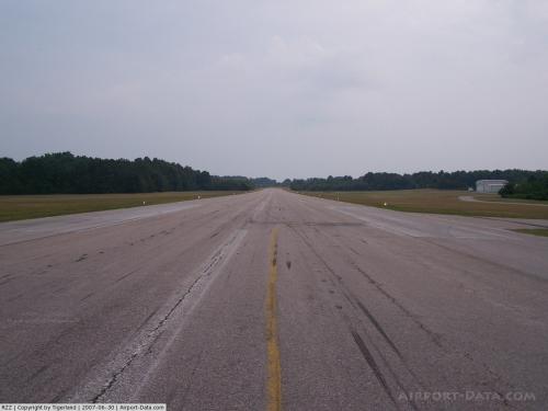
(Click on the photo to enlarge) |
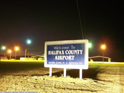
Location & QuickFacts
| FAA Information Effective: | 2008-09-25 |
| Airport Identifier: | RZZ |
| Airport Status: | Operational |
| Longitude/Latitude: | 077-42-33.6290W/36-26-22.0410N
-77.709341/36.439456 (Estimated) |
| Elevation: | 256 ft / 78.03 m (Surveyed) |
| Land: | 281 acres |
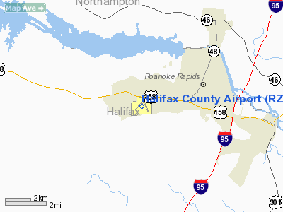
| From nearest city: | 3 nautical miles SW of Roanoke Rapids, NC |
| Location: | Halifax County, NC |
| Magnetic Variation: | 08W (1985) |
Owner & Manager
| Ownership: | Publicly owned |
| Owner: | City Of Roanoke Rapids |
| Address: | Po Box 38
Roanoke Rapids, NC 27870 |
| Phone number: | 252-533-2800 |
| Manager: | Ralph Johnson |
| Address: | 460 Airport Rd
Roanoke Rapids, NC 27870 |
| Phone number: | 252-537-1930 |
Airport Operations and Facilities
| Airport Use: | Open to public |
| Wind indicator: | Yes |
| Segmented Circle: | No |
| Control Tower: | No |
| Lighting Schedule: | DUSK-DAWN
FOR VASI & REIL RWYS 05/23 KEY 122.8 5 TIMES. |
| Beacon Color: | Clear-Green (lighted land airport) |
| Landing fee charge: | No |
| Sectional chart: | Washington |
| Region: | ASO - Southern |
| Boundary ARTCC: | ZDC - Washington |
| Tie-in FSS: | RDU - Raleigh |
| FSS on Airport: | No |
| FSS Toll Free: | 1-800-WX-BRIEF |
| NOTAMs Facility: | RZZ (NOTAM-d service avaliable) |
| Federal Agreements: | NGY |
Airport Communications
| CTAF: | 122.800 |
| Unicom: | 122.800 |
Airport Services
| Fuel available: | 100LLA1+ |
| Airframe Repair: | NONE |
| Power Plant Repair: | NONE |
| Bottled Oxygen: | NONE |
| Bulk Oxygen: | NONE |
Runway Information
Runway 05/23
| Dimension: | 4006 x 75 ft / 1221.0 x 22.9 m
RY 16/34 2100 FT USABLE. |
| Surface: | ASPH, Fair Condition |
| Weight Limit: | Single wheel: 30000 lbs. |
| Edge Lights: | Medium |
| |
Runway 05 |
Runway 23 |
| Longitude: | 077-43-00.5670W | 077-42-25.0630W |
| Latitude: | 36-26-08.8140N | 36-26-36.1300N |
| Elevation: | 256.00 ft | 255.00 ft |
| Alignment: | 46 | 127 |
| Traffic Pattern: | Left | Left |
| Markings: | Non-precision instrument, Good Condition | Non-precision instrument, Good Condition |
| VASI: | 2-box on left side
VASI RYS 05 & 23 OTS INDEFLY. | 2-box on left side |
| Runway End Identifier: | Yes | Yes |
| Obstruction: | 52 ft trees, 335.0 ft from runway, 204 ft left of centerline, 2:1 slope to clear | 66 ft trees, 320.0 ft from runway, 464 ft left of centerline, 1:1 slope to clear |
|
Runway 16/34
| Dimension: | 2100 x 150 ft / 640.1 x 45.7 m
RY 16/34 2100 FT USABLE. |
| Surface: | TURF, Fair Condition |
| |
Runway 16 |
Runway 34 |
| Longitude: | 077-42-25.1300W | 077-42-12.3280W |
| Latitude: | 36-26-32.2400N | 36-26-10.2410N |
| Elevation: | 252.00 ft | 220.00 ft |
| Traffic Pattern: | Left | Left |
| Obstruction: | 76 ft trees, 1259.0 ft from runway, 73 ft right of centerline, 16:1 slope to clear | 32 ft trees, 163.0 ft from runway, 14 ft right of centerline, 5:1 slope to clear |
|
Radio Navigation Aids
| ID |
Type |
Name |
Ch |
Freq |
Var |
Dist |
| RZZ | NDB | Rapids | | 407.00 | 08W | 0.1 nm |
| ELQ | NDB | Emporia | | 261.00 | 10W | 17.4 nm |
| AEA | NDB | Jones | | 373.00 | 09W | 19.7 nm |
| MBV | NDB | Mecklenburg/dcmsnd | | 356.00 | 08W | 22.6 nm |
| ASJ | NDB | Ahoskie | | 415.00 | 10W | 27.2 nm |
| ETC | NDB | Tarboro | | 257.00 | 08W | 31.3 nm |
| PTB | NDB | Petersburg | | 284.00 | 08W | 42.0 nm |
| RW | NDB | Jambe | | 235.00 | 09W | 42.2 nm |
| MCZ | NDB | Williamston | | 336.00 | 09W | 43.4 nm |
| BKT | NDB | Blackstone | | 326.00 | 09W | 44.4 nm |
| HXO | NDB | Huntsboro | | 271.00 | 07W | 44.8 nm |
| AQE | NDB | Alwood | | 230.00 | 09W | 47.0 nm |
| AKQ | NDB | Wakefield | | 274.00 | 09W | 47.3 nm |
| LVL | VORTAC | Lawrenceville | 076X | 112.90 | 08W | 24.6 nm |
| TYI | VORTAC | Tar River | 125X | 117.80 | 05W | 27.8 nm |
| FKN | VORTAC | Franklin | 043X | 110.60 | 09W | 37.5 nm |
| CVI | VORTAC | Cofield | 093X | 114.60 | 09W | 40.7 nm |
Remarks
- -4 FT GROUND 105 FT FROM THR ON CENTERLINE FOR RY 23.
- BIRD & DEER ACTIVITY ON & INVOF ARPT.
Images and information placed above are from
http://www.airport-data.com/airport/RZZ/
We thank them for the data!
| General Info
|
| Country |
United States
|
| State |
NORTH CAROLINA
|
| FAA ID |
RZZ
|
| Latitude |
36-26-22.041N
|
| Longitude |
077-42-33.629W
|
| Elevation |
256 feet
|
| Near City |
ROANOKE RAPIDS
|
We don't guarantee the information is fresh and accurate. The data may
be wrong or outdated.
For more up-to-date information please refer to other sources.
|
|