|
|
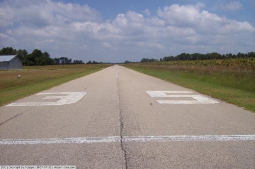 |
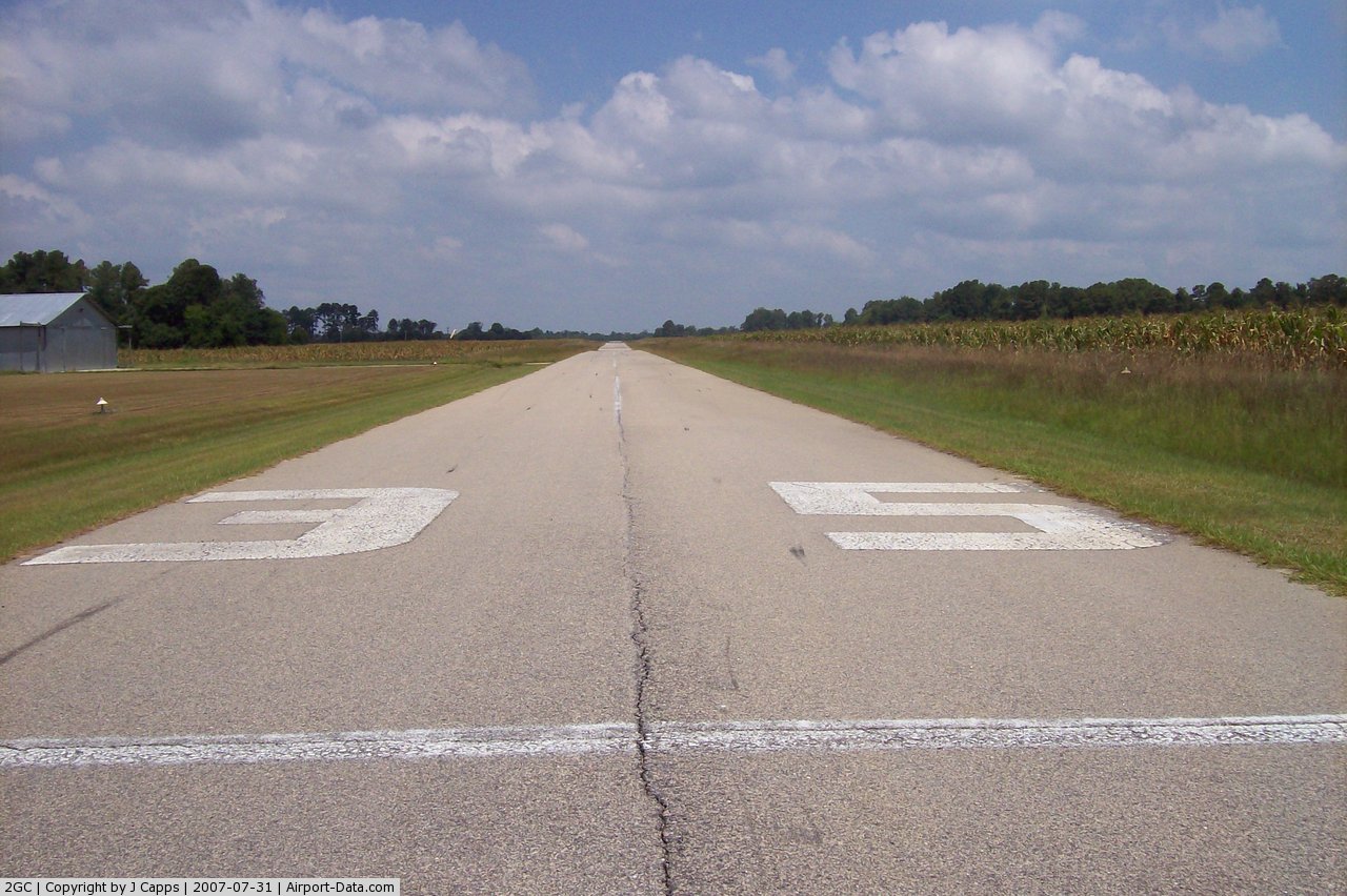
(Click on the photo to enlarge) |
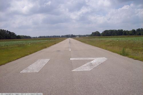 |
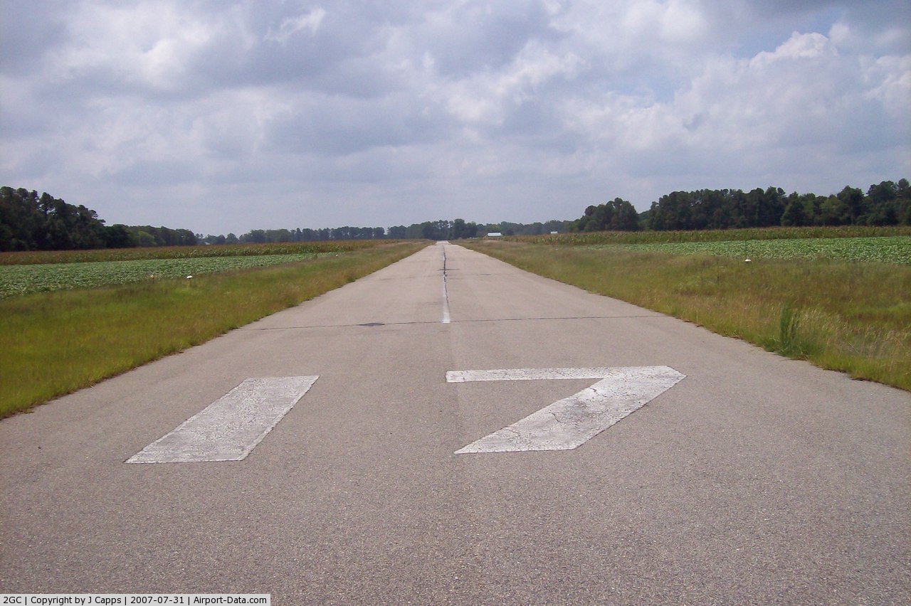
(Click on the photo to enlarge) |
 |
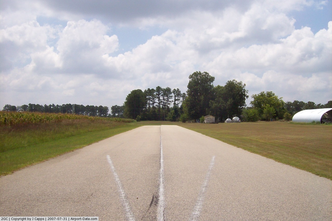
(Click on the photo to enlarge) |
Location & QuickFacts
| FAA Information Effective: | 2008-09-25 |
| Airport Identifier: | 2GC |
| Airport Status: | Operational |
| Longitude/Latitude: | 078-50-36.7100W/34-53-37.2900N
-78.843531/34.893692 (Estimated) |
| Elevation: | 160 ft / 48.77 m (Estimated) |
| Land: | 28 acres |
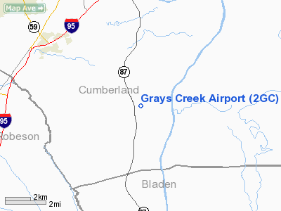
| From nearest city: | 9 nautical miles S of Fayetteville, NC |
| Location: | Cumberland County, NC |
| Magnetic Variation: | 06W (1985) |
Owner & Manager
| Ownership: | Privately owned |
| Owner: | Roger Dale & Cindy Smith |
| Address: | 7154 Butler Nursery Road
Fayetteville, NC 28306 |
| Phone number: | 910-483-4114 |
| Manager: | Cindy B Smith |
| Address: | 7154 Butler Nursery Road
Fayetteville, NC 28306 |
| Phone number: | 910-286-3435 |
Airport Operations and Facilities
| Airport Use: | Open to public |
| Wind indicator: | Yes |
| Segmented Circle: | No |
| Control Tower: | No |
| Lighting Schedule: | PHONE REQ
FOR LIRL RY 17/35 CALL (910) 483-4114. |
| Sectional chart: | Charlotte |
| Region: | ASO - Southern |
| Boundary ARTCC: | ZDC - Washington |
| Tie-in FSS: | RDU - Raleigh |
| FSS Toll Free: | 1-800-WX-BRIEF |
| NOTAMs Facility: | RDU (NOTAM-d service avaliable) |
Airport Communications
Airport Services
| Fuel available: | 100LL |
| Airframe Repair: | MAJOR |
| Power Plant Repair: | MAJOR |
Runway Information
Runway 17/35
| Dimension: | 3500 x 30 ft / 1066.8 x 9.1 m |
| Surface: | ASPH, Fair Condition |
| Weight Limit: | Single wheel: 8000 lbs. |
| Edge Lights: | Non-standard lighting system
NSTD LIRL; FIRST 350 FT RY 35 NOT LIGHTED. |
| |
Runway 17 |
Runway 35 |
| Traffic Pattern: | Left | Left |
| Markings: | Basic, Fair Condition | Basic, Fair Condition |
| Displaced threshold: | 0.00 ft | 350.00 ft
LGTD THR RELCTD 350 FT; 3150 FT OF RY 17/35 USBL AT NGT. |
| Obstruction: | 4 ft crops, 200.0 ft from runway
CROPS 45' LEFT AND RIGHT OF CNTRLN. | 75 ft trees, 260.0 ft from runway, 60 ft left of centerline
75 FT TREES 60 FT L; 0:1 BASED ON DSPLCD THLD. RWY 35 APCH RATIO 7:1 TO DSPLCD THLD.
SMALL BLDG/TREES WITHIN 80L OF CNTRLN/100'-200' FM THR. |
|
Radio Navigation Aids
| ID |
Type |
Name |
Ch |
Freq |
Var |
Dist |
| FGP | NDB | Fort Bragg | | 393.00 | 07W | 14.8 nm |
| RSY | NDB | Robeson | | 359.00 | 08W | 19.9 nm |
| POB | NDB | Pope | | 338.00 | 07W | 20.8 nm |
| CTZ | NDB | Clinton | | 412.00 | 08W | 24.2 nm |
| JB | NDB | Jigel | | 384.00 | 08W | 25.5 nm |
| TGQ | NDB | Elizabethtown | | 398.00 | 08W | 27.3 nm |
| ME | NDB | Maxtn | | 257.00 | 08W | 31.2 nm |
| HFF | NDB | Mackall | | 278.00 | 06W | 32.6 nm |
| HQT | NDB | Harnett | | 417.00 | 08W | 33.5 nm |
| EEJ | NDB | Lee County/dcmsnd | | 428.00 | 07W | 34.3 nm |
| DLC | NDB | Dillon | | 274.00 | 05W | 37.2 nm |
| CPC | NDB | Camp | | 227.00 | 07W | 37.9 nm |
| TT | NDB | Leeco | | 406.00 | 08W | 39.1 nm |
| JN | NDB | Jurly | | 263.00 | 09W | 40.5 nm |
| RCZ | NDB | Roscoe | | 375.00 | 07W | 42.0 nm |
| ACZ | NDB | Pendy | | 379.00 | 09W | 42.8 nm |
| DKA | NDB | Kenan | | 332.00 | 07W | 46.8 nm |
| BES | NDB | Bennettsville | | 230.00 | 07W | 46.9 nm |
| MAO | NDB | Marion | | 388.00 | 06W | 49.0 nm |
| EUU | NDB | Jnall | | 251.00 | 07W | 49.1 nm |
| POB | TACAN | Pope | 085X | | 07W | 18.2 nm |
| LBT | VOR | Lumberton | | 110.00 | 08W | 20.0 nm |
| FAY | VOR/DME | Fayetteville | 025X | 108.80 | 04W | 5.7 nm |
| SDZ | VORTAC | Sandhills | 055X | 111.80 | 03W | 41.4 nm |
Remarks
- TAXI ON THE GRASS APRON AT A SLOW SPEED DUE TO UNEVEN SOD SURFACE.
- 40 FT UNMARKED PLINE 800 FT FM DSPLCD THLD; 0B.
- PRVDD VFR AND ALL LOCAL PROCEDURES ESTABLISHED FOR ACFT ENTERING FAYETTEVILLE REG ARPT TRAFFIC AREA ARE ADHERED TO.
Images and information placed above are from
http://www.airport-data.com/airport/2GC/
We thank them for the data!
| General Info
|
| Country |
United States
|
| State |
NORTH CAROLINA
|
| FAA ID |
2GC
|
| Latitude |
34-53-37.290N
|
| Longitude |
078-50-36.710W
|
| Elevation |
160 feet
|
| Near City |
FAYETTEVILLE
|
We don't guarantee the information is fresh and accurate. The data may
be wrong or outdated.
For more up-to-date information please refer to other sources.
|
|