|
|
Goldsboro-wayne Muni Airport |
| Goldsboro-Wayne Municipal Airport |
| IATA: none – ICAO: KGWW – FAA LID: GWW |
| Summary |
| Airport type |
Public |
| Operator |
Goldsboro/Wayne Airport Authority |
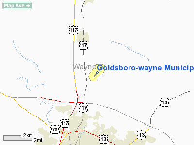
| Location |
Goldsboro, North Carolina |
| Elevation AMSL |
134 ft / 40.8 m |
| Coordinates |
35°27′38″N 077°57′54″W / 35.46056°N 77.965°W / 35.46056; -77.965Coordinates: 35°27′38″N 077°57′54″W / 35.46056°N 77.965°W / 35.46056; -77.965 |
| Runways |
| Direction |
Length |
Surface |
| ft |
m |
| 5/23 |
5,500 |
1,676 |
Asphalt |
Goldsboro-Wayne Municipal Airport (ICAO: KGWW, FAA LID: GWW) is a public airport located three miles (5 km) north of the central business district (CBD) of Goldsboro, in Wayne County, North Carolina, USA. This general aviation airport covers 249 acres (101 ha) and has one runway. It is owned by the city of Goldsboro and Wayne County.
The above content comes from Wikipedia and is published under free licenses – click here to read more.
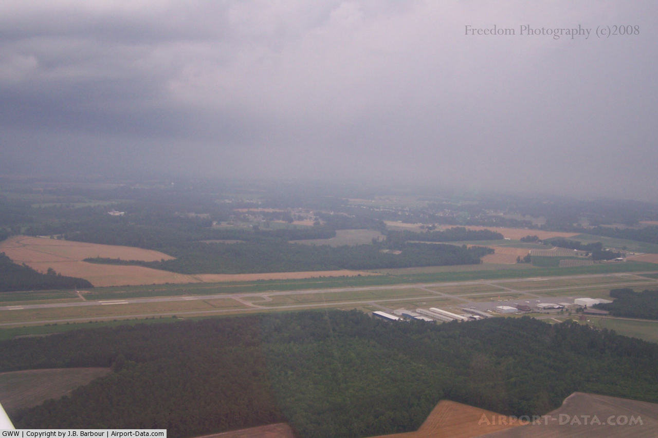
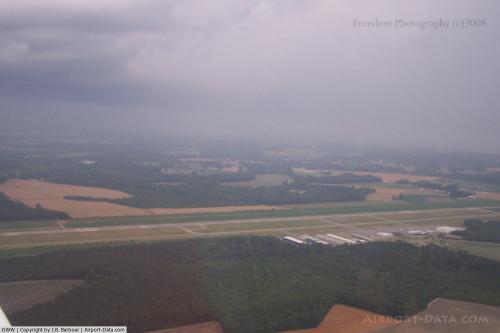 |
(Click on the photo to enlarge) |
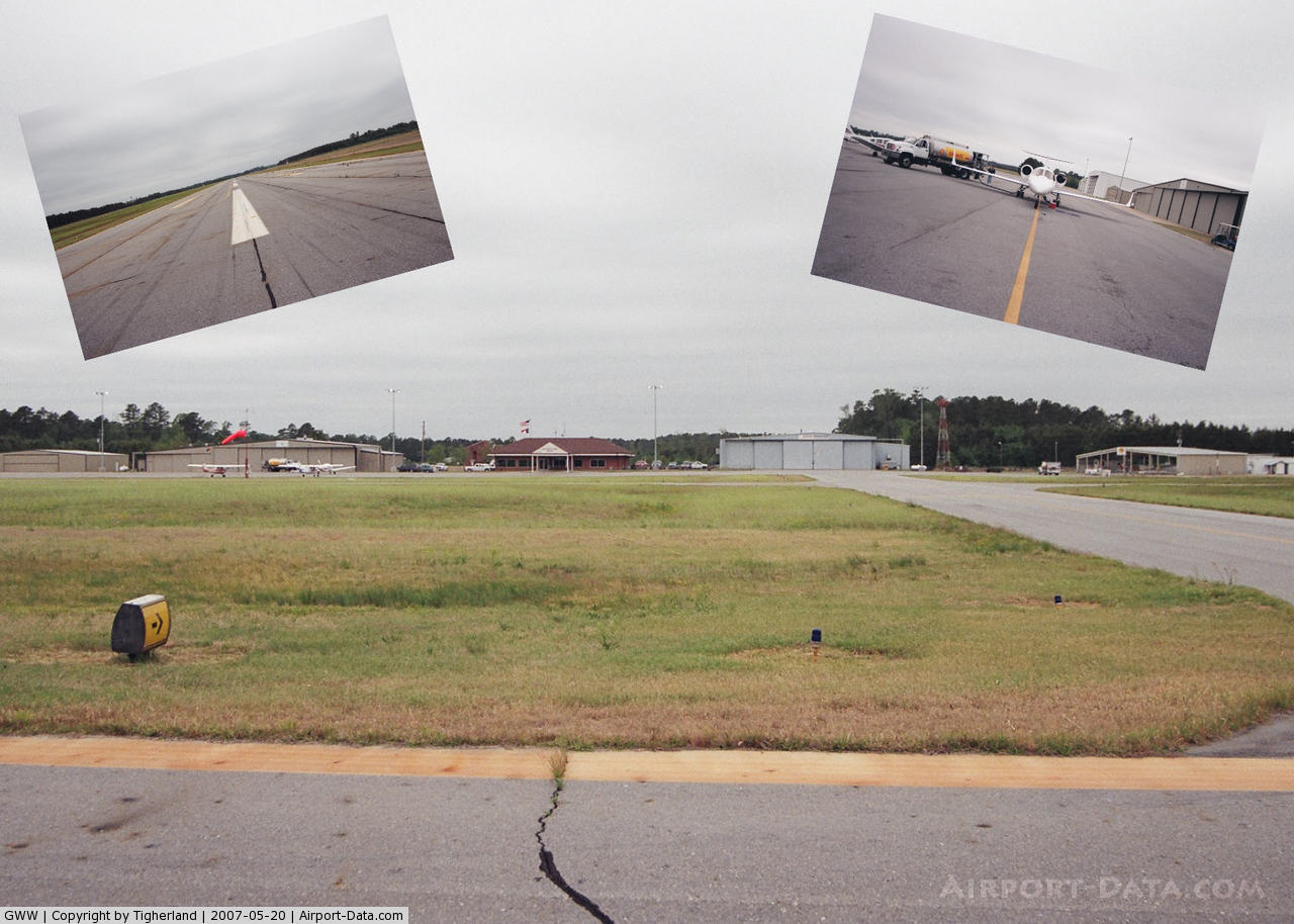
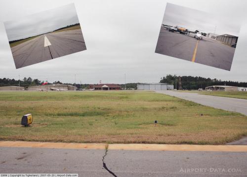 |
(Click on the photo to enlarge) |
Location & QuickFacts
| FAA Information Effective: | 2008-09-25 |
| Airport Identifier: | GWW |
| Airport Status: | Operational |
| Longitude/Latitude: | 077-57-53.7590W/35-27-37.9960N
-77.964933/35.460554 (Estimated) |
| Elevation: | 134 ft / 40.84 m (Surveyed) |
| Land: | 249 acres |
| From nearest city: | 3 nautical miles N of Goldsboro, NC |
| Location: | Wayne County, NC |
| Magnetic Variation: | 08W (1990) |
Owner & Manager
| Ownership: | Publicly owned |
| Owner: | City Of Goldsboro & Wayne Co |
| Address: | P.o. Box 222
Goldsboro, NC 27533-0222 |
| Phone number: | 919-580-4330 |
| Manager: | Jim Steele |
| Address: | 240 Aviation Road
Pikeville, NC 27863 |
| Phone number: | 919-734-7630 |
Airport Operations and Facilities
| Airport Use: | Open to public |
| Wind indicator: | Yes |
| Segmented Circle: | Yes |
| Control Tower: | No |
| Lighting Schedule: | DUSK-DAWN
ACTVT MIRL RY 05/23, REIL RY 23 & ODALS RY 23 - CTAF. PAPI RY 05 & 23 OPERS CONT. |
| Beacon Color: | Clear-Green (lighted land airport) |
| Landing fee charge: | No |
| Sectional chart: | Charlotte |
| Region: | ASO - Southern |
| Boundary ARTCC: | ZDC - Washington |
| Tie-in FSS: | RDU - Raleigh |
| FSS on Airport: | No |
| FSS Toll Free: | 1-800-WX-BRIEF |
| NOTAMs Facility: | GWW (NOTAM-d service avaliable) |
| Federal Agreements: | NGY |
Airport Communications
| CTAF: | 122.700 |
| Unicom: | 122.700 |
Airport Services
| Fuel available: | 100LLA1+ |
| Airframe Repair: | MAJOR |
| Power Plant Repair: | MAJOR |
| Bottled Oxygen: | LOW |
| Bulk Oxygen: | HIGH |
Runway Information
Runway 05/23
| Dimension: | 5500 x 100 ft / 1676.4 x 30.5 m
500 FT STOPWAY SW END. |
| Surface: | ASPH, Fair Condition |
| Pavement Class: | 49 /F/C/Y/T |
| Weight Limit: | Single wheel: 30000 lbs.
Dual wheel: 42000 lbs. |
| Edge Lights: | Medium |
| |
Runway 05 |
Runway 23 |
| Longitude: | 077-58-14.5610W | 077-57-32.9530W |
| Latitude: | 35-27-16.7850N | 35-27-59.2060N |
| Elevation: | 133.00 ft | 134.00 ft |
| Alignment: | 39 | 127 |
| ILS Type: | | ILS
|
| Traffic Pattern: | Left | Left |
| Markings: | Non-precision instrument, Fair Condition | Precision instrument, Fair Condition |
| Crossing Height: | 40.00 ft | 43.00 ft |
| VASI: | 4-light PAPI on left side | 4-light PAPI on left side |
| Visual Glide Angle: | 3.00° | 3.00° |
| Approach lights: | | ODALS |
| Runway End Identifier: | No | Yes |
| Obstruction: | , 50:1 slope to clear | 35 ft trees, 1167.0 ft from runway, 346 ft right of centerline, 27:1 slope to clear |
|
Radio Navigation Aids
| ID |
Type |
Name |
Ch |
Freq |
Var |
Dist |
| PGV | FAN MARKER | Belvoir | | | 06W | 30.5 nm |
| JYN | NDB | Wayne | | 208.00 | 08W | 5.1 nm |
| RW | NDB | Jambe | | 235.00 | 09W | 18.5 nm |
| EUU | NDB | Jnall | | 251.00 | 07W | 21.0 nm |
| JN | NDB | Jurly | | 263.00 | 09W | 22.6 nm |
| DKA | NDB | Kenan | | 332.00 | 07W | 23.4 nm |
| AQE | NDB | Alwood | | 230.00 | 09W | 32.6 nm |
| HQT | NDB | Harnett | | 417.00 | 08W | 34.8 nm |
| ETC | NDB | Tarboro | | 257.00 | 08W | 35.1 nm |
| CTZ | NDB | Clinton | | 412.00 | 08W | 35.1 nm |
| RNW | NDB | Chocowinity | | 388.00 | 07W | 42.1 nm |
| ACZ | NDB | Pendy | | 379.00 | 09W | 44.8 nm |
| MCZ | NDB | Williamston | | 336.00 | 09W | 45.3 nm |
| FGP | NDB | Fort Bragg | | 393.00 | 07W | 45.9 nm |
| LE | NDB | Leevy | | 350.00 | 07W | 46.4 nm |
| GSB | TACAN | Seymour Johnson | 112X | | 08W | 7.6 nm |
| ISO | VORTAC | Kinston | 033X | 109.60 | 05W | 20.6 nm |
| TYI | VORTAC | Tar River | 125X | 117.80 | 05W | 33.5 nm |
| RDU | VORTAC | Raleigh/durham | 119X | 117.20 | 04W | 47.0 nm |
Remarks
- SFC VARIATIONS IN RY SAFETY AREA.
- ULTRALIGHT; GLIDER & PARACHUTE ACTIVITY PPR CALL 919-734-7630.
- HELICOPTER OPS ON TWY LEADING TO T HANGERS. HELIPAD ON TWY WITH TRAFFIC CONES AND FLAGS.
- BIRD ACTIVITY INVOF ARPT.
Images and information placed above are from
http://www.airport-data.com/airport/GWW/
We thank them for the data!
| General Info
|
| Country |
United States
|
| State |
NORTH CAROLINA
|
| FAA ID |
GWW
|
| Latitude |
35-27-37.996N
|
| Longitude |
077-57-53.759W
|
| Elevation |
134 feet
|
| Near City |
GOLDSBORO
|
We don't guarantee the information is fresh and accurate. The data may
be wrong or outdated.
For more up-to-date information please refer to other sources.
|
|