|
|
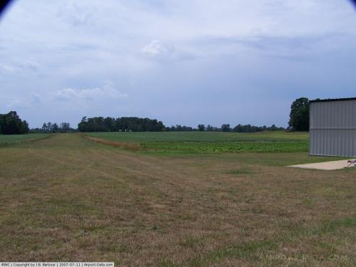 |
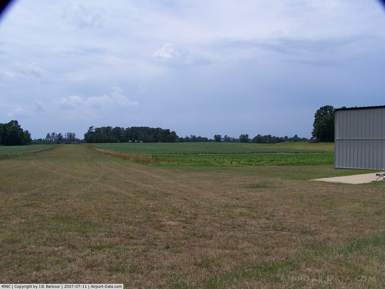
(Click on the photo to enlarge) |
Location & QuickFacts
| FAA Information Effective: | 2008-09-25 |
| Airport Identifier: | 45NC |
| Airport Status: | Operational |
| Longitude/Latitude: | 077-27-17.0000W/36-31-41.0000N
-77.454722/36.528056 (Estimated) |
| Elevation: | 120 ft / 36.58 m (Estimated) |
| Land: | 0 acres |
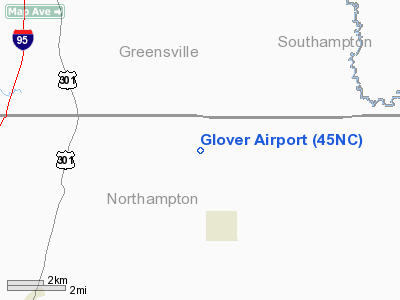
| From nearest city: | 4 nautical miles N of Seaboard, NC |
| Location: | Northampton County, NC |
| Magnetic Variation: | 09W (1995) |
Owner & Manager
| Ownership: | Privately owned |
| Owner: | Matthew B. Glover |
| Address: | Route 1, Box 162
Seaboard, NC 27876 |
| Phone number: | 252-589-1012 |
| Manager: | Matthew B. Glover |
| Address: | Route 1, Box 162
Seaboard, NC 27876 |
| Phone number: | 252-589-1012 |
Airport Operations and Facilities
| Airport Use: | Private |
| Wind indicator: | Yes |
| Segmented Circle: | No |
| Control Tower: | No |
| Sectional chart: | Washington |
| Region: | ASO - Southern |
| Boundary ARTCC: | ZDC - Washington |
| Tie-in FSS: | RDU - Raleigh |
| FSS Toll Free: | 1-800-WX-BRIEF |
Runway Information
Runway 07/25
| Dimension: | 1750 x 50 ft / 533.4 x 15.2 m |
| Surface: | TURF, |
| |
Runway 07 |
Runway 25 |
| Traffic Pattern: | Left | Left |
|
Radio Navigation Aids
| ID |
Type |
Name |
Ch |
Freq |
Var |
Dist |
| ELQ | NDB | Emporia | | 261.00 | 10W | 5.6 nm |
| RZZ | NDB | Rapids | | 407.00 | 08W | 13.3 nm |
| ASJ | NDB | Ahoskie | | 415.00 | 10W | 19.3 nm |
| AEA | NDB | Jones | | 373.00 | 09W | 29.4 nm |
| MBV | NDB | Mecklenburg/dcmsnd | | 356.00 | 08W | 30.7 nm |
| AKQ | NDB | Wakefield | | 274.00 | 09W | 35.0 nm |
| ETC | NDB | Tarboro | | 257.00 | 08W | 35.9 nm |
| PTB | NDB | Petersburg | | 284.00 | 08W | 36.6 nm |
| RK | NDB | Waley | | 249.00 | 10W | 39.1 nm |
| MCZ | NDB | Williamston | | 336.00 | 09W | 42.4 nm |
| BKT | NDB | Blackstone | | 326.00 | 09W | 45.9 nm |
| CF | NDB | Pubbs | | 392.00 | 09W | 48.4 nm |
| AQE | NDB | Alwood | | 230.00 | 09W | 49.5 nm |
| FKN | VORTAC | Franklin | 043X | 110.60 | 09W | 24.1 nm |
| LVL | VORTAC | Lawrenceville | 076X | 112.90 | 08W | 27.8 nm |
| CVI | VORTAC | Cofield | 093X | 114.60 | 09W | 29.7 nm |
| TYI | VORTAC | Tar River | 125X | 117.80 | 05W | 35.3 nm |
Remarks
- 397 FT TOWER 2.5 NM SOUTHEAST OF ARPT.
- PRVDD VFR/PVT USE.
Images and information placed above are from
http://www.airport-data.com/airport/45NC/
We thank them for the data!
| General Info
|
| Country |
United States
|
| State |
NORTH CAROLINA
|
| FAA ID |
45NC
|
| Latitude |
36-31-41.000N
|
| Longitude |
077-27-17.000W
|
| Elevation |
120 feet
|
| Near City |
SEABOARD
|
We don't guarantee the information is fresh and accurate. The data may
be wrong or outdated.
For more up-to-date information please refer to other sources.
|
|