|
|
 |
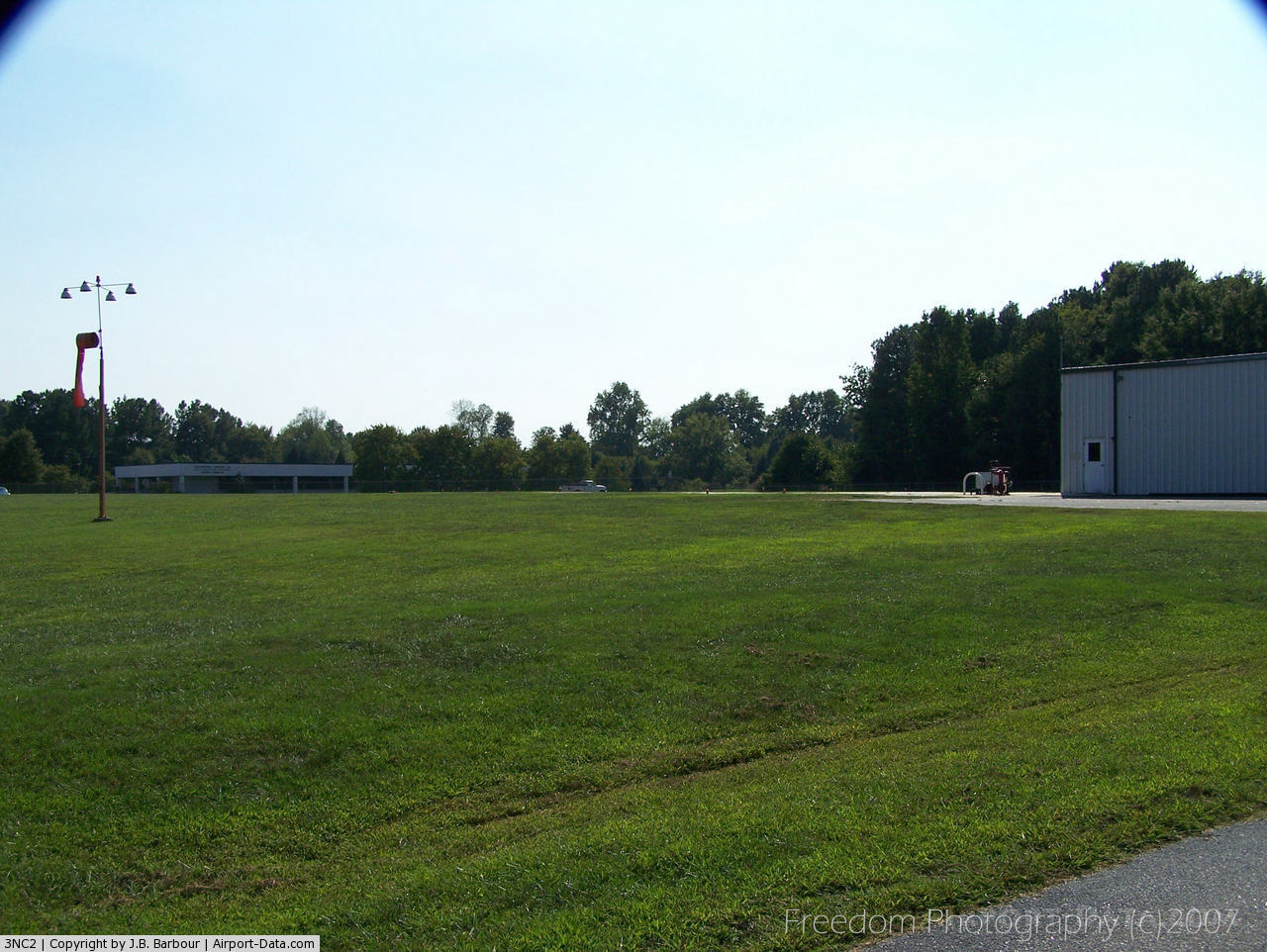
(Click on the photo to enlarge) |
 |
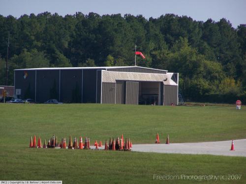
(Click on the photo to enlarge) |
Location & QuickFacts
| FAA Information Effective: | 2008-09-25 |
| Airport Identifier: | 3NC2 |
| Airport Status: | Operational |
| Longitude/Latitude: | 078-37-43.4000W/35-43-55.6000N
-78.628722/35.732111 (Estimated) |
| Elevation: | 375 ft / 114.30 m (Estimated) |
| Land: | 0 acres |
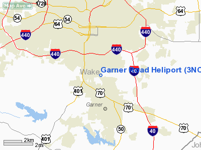
| From nearest city: | 0 nautical miles N of Raleigh, NC |
| Location: | Wake County, NC |
| Magnetic Variation: | 07W (1985) |
Owner & Manager
| Ownership: | Publicly owned |
| Owner: | Nc Dept Of Commerce |
| Address: | 4350 Mail Service Center
Raleigh, NC 27699-4350 |
| Phone number: | 919-661-4841 |
| Manager: | Trooper John B. Gardner |
| Address: | Ncshp Aircraft Opns, 4702 Mail Service Center
Raleigh, NC 27699-4702 |
| Phone number: | 919-661-5877 |
Airport Operations and Facilities
| Airport Use: | Private |
| Wind indicator: | Yes |
| Segmented Circle: | No |
| Control Tower: | No |
| Lighting Schedule: | RDO-CTL
ACTVT PERIMETER LGTS - 123.5. |
| Sectional chart: | Charlotte |
| Region: | ASO - Southern |
| Boundary ARTCC: | ZDC - Washington |
| Tie-in FSS: | RDU - Raleigh |
| FSS Toll Free: | 1-800-WX-BRIEF |
Runway Information
Helipad H1
| Dimension: | 100 x 50 ft / 30.5 x 15.2 m |
| Surface: | CONC, |
| |
Runway H1 |
Runway |
| Traffic Pattern: | Left | Left |
|
Radio Navigation Aids
| ID |
Type |
Name |
Ch |
Freq |
Var |
Dist |
| LE | NDB | Leevy | | 350.00 | 07W | 12.6 nm |
| EUU | NDB | Jnall | | 251.00 | 07W | 15.4 nm |
| HQT | NDB | Harnett | | 417.00 | 08W | 18.1 nm |
| JN | NDB | Jurly | | 263.00 | 09W | 18.4 nm |
| TT | NDB | Leeco | | 406.00 | 08W | 28.7 nm |
| RW | NDB | Jambe | | 235.00 | 09W | 32.5 nm |
| HXO | NDB | Huntsboro | | 271.00 | 07W | 34.2 nm |
| POB | NDB | Pope | | 338.00 | 07W | 34.3 nm |
| EEJ | NDB | Lee County/dcmsnd | | 428.00 | 07W | 36.2 nm |
| FGP | NDB | Fort Bragg | | 393.00 | 07W | 36.8 nm |
| HUR | NDB | Person | | 220.00 | 08W | 36.9 nm |
| JYN | NDB | Wayne | | 208.00 | 08W | 37.7 nm |
| TOX | NDB | Siler City | | 371.00 | 07W | 40.7 nm |
| CTZ | NDB | Clinton | | 412.00 | 08W | 47.3 nm |
| HB | NDB | Himun | | 361.00 | 08W | 48.9 nm |
| POB | TACAN | Pope | 085X | | 07W | 39.4 nm |
| GSB | TACAN | Seymour Johnson | 112X | | 08W | 40.0 nm |
| FAY | VOR/DME | Fayetteville | 025X | 108.80 | 04W | 46.5 nm |
| RDU | VORTAC | Raleigh/durham | 119X | 117.20 | 04W | 11.3 nm |
| TYI | VORTAC | Tar River | 125X | 117.80 | 05W | 47.4 nm |
| LIB | VORTAC | Liberty | 077X | 113.00 | 03W | 48.2 nm |
Remarks
- EXTSV HEL OPNS.
- 35 FT PLINE 200 FT E, 50 FT TREES 200 FT WEST, AND 50 FT TREES 500 FT N OF PAD.
- PERSONAL USE; CTC RALEIGH GADO FOR GUIDANCE CONCERNING INGRESS/EGRESS ROUTES.
Images and information placed above are from
http://www.airport-data.com/airport/3NC2/
We thank them for the data!
| General Info
|
| Country |
United States
|
| State |
NORTH CAROLINA
|
| FAA ID |
3NC2
|
| Latitude |
35-43-30.549N
|
| Longitude |
078-37-11.014W
|
| Elevation |
340 feet
|
| Near City |
RALEIGH
|
We don't guarantee the information is fresh and accurate. The data may
be wrong or outdated.
For more up-to-date information please refer to other sources.
|
|