|
|
Coordinates: 36°01′06″N 75°40′17″W / 36.01833°N 75.67139°W / 36.01833; -75.67139
| First Flight Airport |
| IATA: FFA – ICAO: KFFA – FAA LID: FFA |
| Summary |
| Airport type |
Public |
| Operator |
National Park Service |
| Serves |
Kill Devil Hills |
| Location |
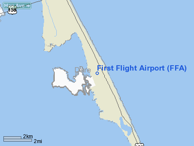
Dare County, North Carolina |
| Elevation AMSL |
13 ft / 4 m |
| Runways |
| Direction |
Length |
Surface |
| ft |
m |
| 2/20 |
3,000 |
914 |
Asphalt |
| Statistics (2006) |
| Aircraft operations |
38,120 |
| Based aircraft |
0 |
| Source: Federal Aviation Administration |
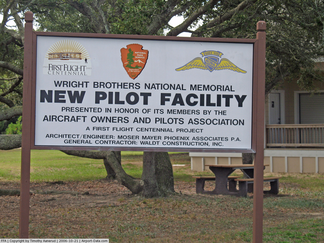
First Flight Airport (IATA: FFA, ICAO: KFFA, FAA LID: FFA) is a general aviation airport located in Kill Devil Hills, a town in Dare County, North Carolina, United States. The airport itself is famous for being the site of hundreds of pre-flight gliding experiments carried out by the Wright brothers. The Wright Brothers National Memorial, located atop nearby Kill Devil Hills, is a 60-foot granite pylon paying homage to the Wright Brothers and the first sustained heavier-than-air flight. The U.S. Centennial of Flight Commission also chose the airport as one of the stops for the National Air Tour 2003. History
In 1903 the first successful flight occurred here conducted by the Wright brothers.
The above content comes from Wikipedia and is published under free licenses – click here to read more.
 |
(Click on the photo to enlarge) |
Location & QuickFacts
| FAA Information Effective: | 2008-09-25 |
| Airport Identifier: | FFA |
| Airport Status: | Operational |
| Longitude/Latitude: | 075-40-16.6330W/36-01-05.6020N
-75.671287/36.018223 (Estimated) |
| Elevation: | 13 ft / 3.96 m (Surveyed) |
| Land: | 40 acres |
| From nearest city: | 1 nautical miles W of Kill Devil Hills, NC |
| Location: | Dare County, NC |
| Magnetic Variation: | 09W (1985) |
Owner & Manager
| Ownership: | Publicly owned |
| Owner: | National Park Svc. |
| Address: | 1401 National Park Dr.
Manteo, NC 27954-2708 |
| Phone number: | 252-473-2111 |
| Manager: | Sup, Cape Hatteras Group |
| Address: | 1401 National Park Dr.
Manteo, NC 27954-2708 |
| Phone number: | 252-473-2111
OR 252-441-7430 |
Airport Operations and Facilities
| Airport Use: | Open to public |
| Wind indicator: | Yes |
| Segmented Circle: | Yes |
| Control Tower: | No |
| Landing fee charge: | No |
| Sectional chart: | Washington |
| Region: | ASO - Southern |
| Traffic Pattern Alt: | 800 ft |
| Boundary ARTCC: | ZDC - Washington |
| Tie-in FSS: | RDU - Raleigh |
| FSS on Airport: | No |
| FSS Toll Free: | 1-800-WX-BRIEF |
| NOTAMs Facility: | FFA (NOTAM-d service avaliable) |
| Federal Agreements: | NY1 |
Airport Communications
Airport Services
| Airframe Repair: | NONE |
| Power Plant Repair: | NONE |
| Bottled Oxygen: | NONE |
| Bulk Oxygen: | NONE |
Runway Information
Runway 02/20
| Dimension: | 3000 x 60 ft / 914.4 x 18.3 m |
| Surface: | ASPH, Good Condition |
| Weight Limit: | Single wheel: 10000 lbs. |
| |
Runway 02 |
Runway 20 |
| Traffic Pattern: | Left | Right |
| Markings: | Non-precision instrument, Good Condition | Non-precision instrument, Good Condition |
| Obstruction: | 15 ft road, 486.0 ft from runway, 19:1 slope to clear
HAS +15 FT ROAD 125 FT R; 0-200 FT FROM THLD. 80 FT PLINE 1700 FT FROM THLD. | 34 ft trees, 1089.0 ft from runway, 4 ft left of centerline, 26:1 slope to clear |
|
Radio Navigation Aids
| ID |
Type |
Name |
Ch |
Freq |
Var |
Dist |
| HI | MARINE NDB | Hatteras Inlet Station/dcm | | 1.00 | 09W | 48.8 nm |
| MQI | NDB | Manteo | | 370.00 | 09W | 6.3 nm |
| LLW | NDB | Woodville | | 254.00 | 10W | 33.8 nm |
| EDE | NDB | Edenton | | 265.00 | 10W | 43.5 nm |
| EY | NDB | Chesi | | 233.00 | 09W | 49.1 nm |
| RBX | VOR/DME | Wright Brothers | 053X | 111.60 | 08W | 6.0 nm |
| ECG | VOR/DME | Elizabeth City | 072X | 112.50 | 07W | 28.4 nm |
Remarks
- MAX OF 24 HRS PARKING PERMITTED. NO MORE THAN TWO OVERNIGHT STAYS PER MONTH.
- 10' DEEP DITCH 400' FM THR 0BOTH AND 100L FM THR TO 400'.
- LIGHTED CRANE .5 NM SE ARPT 200 AGL.
- DEER ON & INVOF ARPT.
- SITE OF FIRST FLIGHT BY WRIGHT BROTHERS.
- RESTROOM FACILITIES ON SITE.
- HANG GLIDING & POWERED HANG GLIDING TO 4000' IN VICINITY OF ARPT FROM SR-SS YEAR ROUND.
- ARPT CLSD 30 MIN AFT SS TIL 30 MIN BEFORE SR.
- UNMKD PLINES IN APCH AREA RY 02; 300' TOWER AND TANK 1/2 MILE NORTH OF RY 20 THR.
- HOLDLINES ARE ONLY 80 FT FM CNTRLN.
- WINDSOCK PARTIALLY OBSCURED BY TREES FM APRON.
- VFR OPERATIONS ONLY.
Images and information placed above are from
http://www.airport-data.com/airport/FFA/
We thank them for the data!
| General Info
|
| Country |
United States
|
| State |
NORTH CAROLINA
|
| FAA ID |
FFA
|
| Latitude |
36-01-05.602N
|
| Longitude |
075-40-16.633W
|
| Elevation |
13 feet
|
| Near City |
KILL DEVIL HILLS
|
We don't guarantee the information is fresh and accurate. The data may
be wrong or outdated.
For more up-to-date information please refer to other sources.
|
|