|
|
Fayetteville Rgnl/grannis Field Airport |
Fayetteville Regional Airport
Grannis Field |
| IATA: FAY – ICAO: KFAY – FAA LID: FAY |
| Summary |
| Airport type |
Public |
| Operator |
City of Fayetteville |
| Location |
Fayetteville, North Carolina |
| Elevation AMSL |
189 ft / 57.6 m |
| Coordinates |
34°59′28″N 78°52′49″W / 34.99111°N 78.88028°W / 34.99111; -78.88028Coordinates: 34°59′28″N 78°52′49″W / 34.99111°N 78.88028°W / 34.99111; -78.88028 |
| Runways |
| Direction |
Length |
Surface |
| ft |
m |
| 4/22 |
7,712 |
2,351 |
Asphalt |
| 10/28 |
4,801 |
1,463 |
Asphalt |
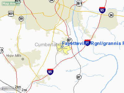
Fayetteville Regional Airport (IATA: FAY, ICAO: KFAY, FAA LID: FAY), also known as Grannis Field, is a public airport located three miles (5 km) south of the central business district (CBD) of Fayetteville, a city in Cumberland County, North Carolina, USA.
The airport has two runways and is served by two terminals for commercial aviation and one separate terminal for general aviation traffic. The commercial terminal building was designed by Fayetteville architect Mason S. Hicks, a Fellow of the American Institute of Architects. Fayetteville Regional Airport has been served in the past by Piedmont Airlines, now a part of US Airways, Atlantic Southeast Airlines, now a part of Delta Air Lines, and American Eagle, a subsidiary of AMR Corporation and commuter service airline for American Airlines. Fayetteville Regional Airport was briefly served by Allegiant Air with service to Orlando, but discontinued the service. Currently, Fayetteville Regional Airport is served by Delta Connection carrier Atlantic Southeast Airlines and US Airways Express. US Airways offers direct flights to Charlotte/Douglas International Airport. Atlantic Southeast Airlines offers direct service to Hartsfield-Jackson Atlanta International Airport.
Airlines and destinations
| Airlines |
Destinations |
| American Eagle |
Dallas/Fort Worth |
| Delta Connection operated by Atlantic Southeast Airlines |
Atlanta |
| US Airways Express operated by Mesa Airlines |
Charlotte |
| US Airways Express operated by PSA Airlines |
Charlotte, Philadelphia [weekends; seasonal] |
The above content comes from Wikipedia and is published under free licenses – click here to read more.
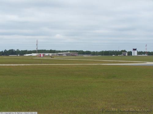 |
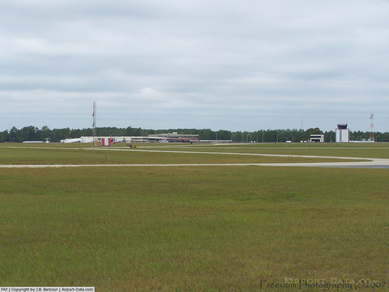
(Click on the photo to enlarge) |
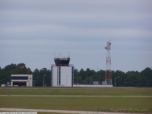 |
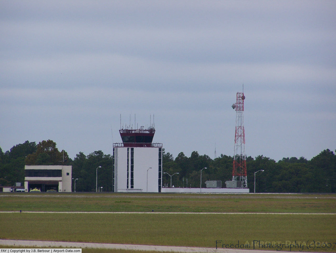
(Click on the photo to enlarge) |
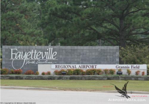 |
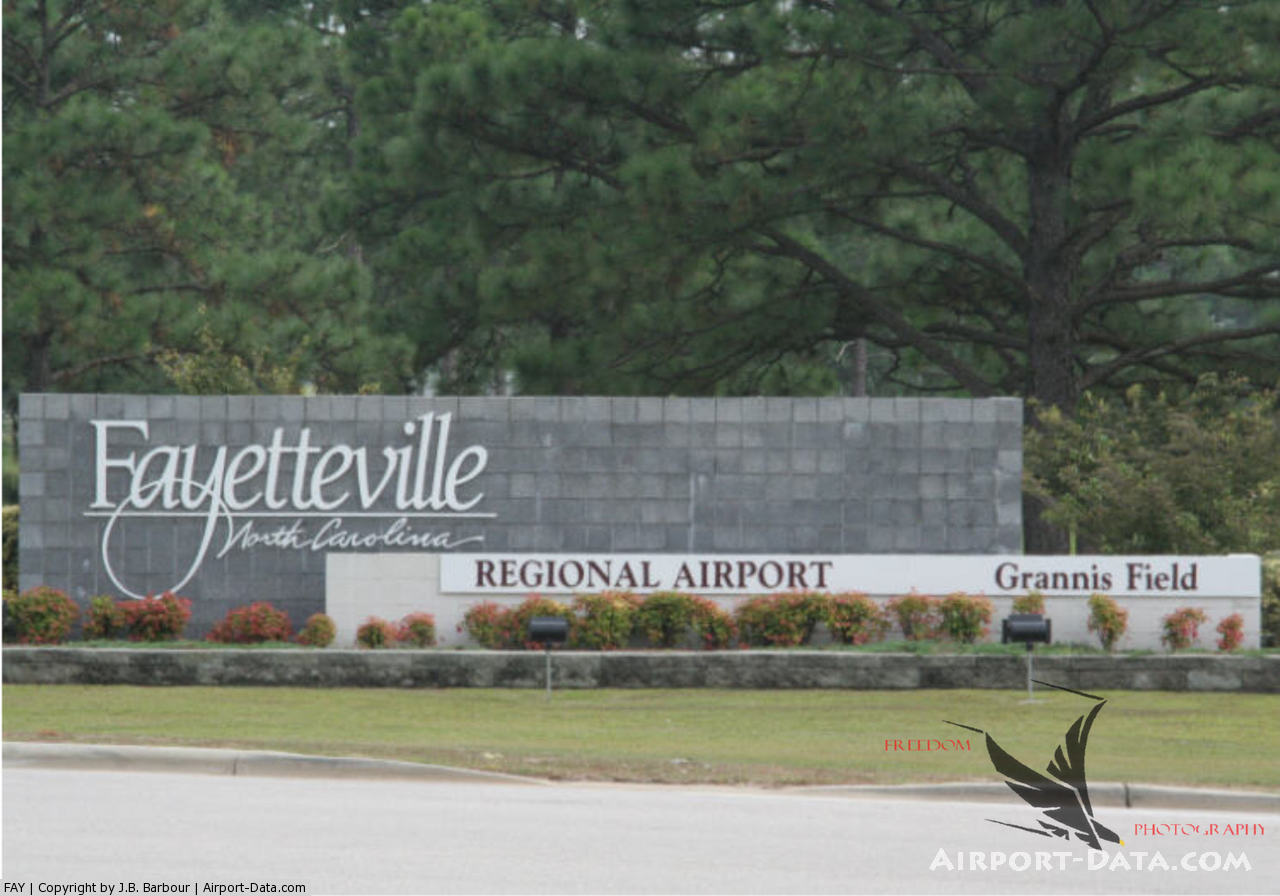
(Click on the photo to enlarge) |
Location & QuickFacts
| FAA Information Effective: | 2008-09-25 |
| Airport Identifier: | FAY |
| Airport Status: | Operational |
| Longitude/Latitude: | 078-52-49.0000W/34-59-28.4000N
-78.880278/34.991222 (Estimated) |
| Elevation: | 189 ft / 57.61 m (Surveyed) |
| Land: | 1308 acres |
| From nearest city: | 3 nautical miles S of Fayetteville, NC |
| Location: | Cumberland County, NC |
| Magnetic Variation: | 07W (1985) |
Owner & Manager
| Ownership: | Publicly owned |
| Owner: | City Of Fayetteville |
| Address: | Po Box 64218
Fayetteville, NC 28306 |
| Phone number: | 910-433-1619 |
| Manager: | Bradley S. Whited |
| Address: | Po Box 64218
Fayetteville, NC 28306 |
| Phone number: | 910-433-1160 |
Airport Operations and Facilities
| Airport Use: | Open to public |
| Wind indicator: | Yes |
| Segmented Circle: | No |
| Control Tower: | Yes |
| Lighting Schedule: | DUSK-DAWN |
| Beacon Color: | Clear-Green (lighted land airport) |
| Landing fee charge: | No |
| Sectional chart: | Charlotte |
| Region: | ASO - Southern |
| Boundary ARTCC: | ZDC - Washington |
| Tie-in FSS: | RDU - Raleigh |
| FSS on Airport: | No |
| FSS Toll Free: | 1-800-WX-BRIEF |
| NOTAMs Facility: | FAY (NOTAM-d service avaliable) |
| Certification type/date: | I B S 05/2005 |
| Federal Agreements: | NGY |
Airport Communications
Airport Services
| Fuel available: | 100LLA |
| Airframe Repair: | MAJOR |
| Power Plant Repair: | MAJOR
MAJOR POWER PLANT REPAIRS AVBL FOR PISTON ENGINES ONLY. |
| Bottled Oxygen: | NONE |
| Bulk Oxygen: | NONE |
Runway Information
Runway 04/22
| Dimension: | 7709 x 150 ft / 2349.7 x 45.7 m |
| Surface: | ASPH, Good Condition |
| Surface Treatment: | Saw-cut or plastic Grooved |
| Weight Limit: | Single wheel: 100000 lbs.
Dual wheel: 200000 lbs.
Dual tandem wheel: 350000 lbs.
Dual dual tandem wheel: 750000 lbs. |
| Edge Lights: | High |
| |
Runway 04 |
Runway 22 |
| Longitude: | 078-53-13.2320W | 078-52-25.2613W |
| Latitude: | 34-59-03.6438N | 35-00-08.8705N |
| Elevation: | 183.00 ft | 157.00 ft |
| Alignment: | 31 | 127 |
| ILS Type: | ILS
| |
| Traffic Pattern: | Left | Left |
| Markings: | Precision instrument, Good Condition | Precision instrument, Good Condition |
| Crossing Height: | 60.00 ft | 60.00 ft |
| Displaced threshold: | 499.00 ft | 706.00 ft |
| VASI: | 4-light PAPI on right side | 4-box on left side |
| Visual Glide Angle: | 3.00° | 3.00° |
| RVR Equipment: | touchdown | |
| Approach lights: | MALSR | |
| Runway End Identifier: | | Yes |
| Decleard distances: | Take off run available 7712.00 ft
Take off distance available 7712.00 ft
Actual stop distance available 7006.00 ft
Landing distance available 6507.00 ft
| Take off run available 7712.00 ft
Take off distance available 7712.00 ft
Actual stop distance available 7213.00 ft
Landing distance available 6507.00 ft
|
|
Runway 10/28
| Dimension: | 4801 x 150 ft / 1463.3 x 45.7 m |
| Surface: | ASPH, Fair Condition |
| Weight Limit: | Single wheel: 30000 lbs.
Dual wheel: 55000 lbs. |
| Edge Lights: | Medium |
| |
Runway 10 |
Runway 28 |
| Longitude: | 078-53-17.4110W | 078-52-19.7205W |
| Latitude: | 34-59-16.1617N | 34-59-15.1990N |
| Elevation: | 183.00 ft | 184.00 ft |
| Alignment: | 91 | 127 |
| Traffic Pattern: | Left | Left |
| Markings: | Basic, Good Condition | Basic, Good Condition |
| Crossing Height: | 0.00 ft | 35.00 ft |
| VASI: | | 4-light PAPI on left side |
| Visual Glide Angle: | 0.00° | 3.00° |
| Runway End Identifier: | Yes | Yes |
| Obstruction: | 15 ft trees, 800.0 ft from runway, 50 ft right of centerline, 40:1 slope to clear | 15 ft trees, 800.0 ft from runway, 90 ft left of centerline, 40:1 slope to clear |
|
Radio Navigation Aids
| ID |
Type |
Name |
Ch |
Freq |
Var |
Dist |
| FGP | NDB | Fort Bragg | | 393.00 | 07W | 9.5 nm |
| POB | NDB | Pope | | 338.00 | 07W | 14.6 nm |
| RSY | NDB | Robeson | | 359.00 | 08W | 24.4 nm |
| CTZ | NDB | Clinton | | 412.00 | 08W | 25.5 nm |
| HQT | NDB | Harnett | | 417.00 | 08W | 28.4 nm |
| EEJ | NDB | Lee County/dcmsnd | | 428.00 | 07W | 28.5 nm |
| JB | NDB | Jigel | | 384.00 | 08W | 29.6 nm |
| HFF | NDB | Mackall | | 278.00 | 06W | 29.9 nm |
| ME | NDB | Maxtn | | 257.00 | 08W | 31.8 nm |
| TT | NDB | Leeco | | 406.00 | 08W | 33.0 nm |
| TGQ | NDB | Elizabethtown | | 398.00 | 08W | 33.1 nm |
| JN | NDB | Jurly | | 263.00 | 09W | 36.7 nm |
| DLC | NDB | Dillon | | 274.00 | 05W | 40.5 nm |
| RCZ | NDB | Roscoe | | 375.00 | 07W | 40.9 nm |
| CPC | NDB | Camp | | 227.00 | 07W | 44.0 nm |
| EUU | NDB | Jnall | | 251.00 | 07W | 45.1 nm |
| ACZ | NDB | Pendy | | 379.00 | 09W | 46.3 nm |
| DKA | NDB | Kenan | | 332.00 | 07W | 47.6 nm |
| BES | NDB | Bennettsville | | 230.00 | 07W | 47.6 nm |
| POB | TACAN | Pope | 085X | | 07W | 12.3 nm |
| GSB | TACAN | Seymour Johnson | 112X | | 08W | 49.2 nm |
| LBT | VOR | Lumberton | | 110.00 | 08W | 24.4 nm |
| FAY | VOR/DME | Fayetteville | 025X | 108.80 | 04W | 0.4 nm |
| SDZ | VORTAC | Sandhills | 055X | 111.80 | 03W | 37.3 nm |
Remarks
- CLSD TO ALL MIL ACFT OVER 17000 LBS FOR ACR RAMP OPNS EXCP 24 HR PPR. CALL AMGR 910-433-1620 MON-FRI.
Images and information placed above are from
http://www.airport-data.com/airport/FAY/
We thank them for the data!
| General Info
|
| Country |
United States
|
| State |
NORTH CAROLINA
|
| FAA ID |
FAY
|
| Latitude |
34-59-28.378N
|
| Longitude |
078-52-48.978W
|
| Elevation |
189 feet
|
| Near City |
FAYETTEVILLE
|
We don't guarantee the information is fresh and accurate. The data may
be wrong or outdated.
For more up-to-date information please refer to other sources.
|
|