|
|
Elizabeth City Cg Air Station/rgnl Airport |
| Elizabeth City Regional Airport |
 |
| IATA: ECG – ICAO: KECG – FAA LID: ECG |
| Summary |
| Airport type |
USCG Support Center |
| Operator |
Elizabeth City, North Carolina |
| Location |
12 |
| Elevation AMSL |
3.7 ft / m |
| Coordinates |
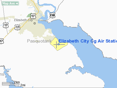
36°15′38″N 076°10′28″W / 36.26056°N 76.17444°W / 36.26056; -76.17444Coordinates: 36°15′38″N 076°10′28″W / 36.26056°N 76.17444°W / 36.26056; -76.17444 |
| Runways |
| Direction |
Length |
Surface |
| ft |
m |
| 1/19 |
4,518 |
1,377 |
Asphalt/Concrete |
| 10/28 |
7,219 |
2,200 |
Asphalt/Concrete |
Elizabeth City Regional Airport (IATA: ECG, ICAO: KECG, FAA LID: ECG), also known as Elizabeth City-Pasquotank County Regional Airport or ECG Regional Airport, is a joint civil-military public airport located on the shores of the Pasquotank River, four miles (6 km) southeast of Elizabeth City, in Pasquotank County, North Carolina, USA. This general aviation airport opened in 1972 and is shared with the U.S. Coast Guard, the military facility being known as Coast Guard Support Center Elizabeth City and Coast Guard Air Station Elizabeth City, operating HC-130 Hercules and HH-60J Jayhawk aircraft. The airport covers an area of 850 acres (344 ha) and has two runways.
The above content comes from Wikipedia and is published under free licenses – click here to read more.
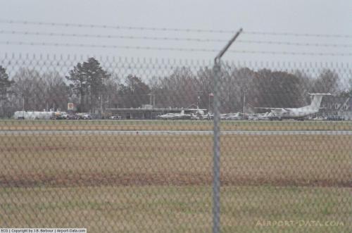 |
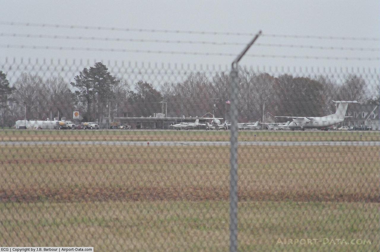
(Click on the photo to enlarge) |
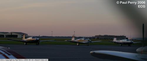 |
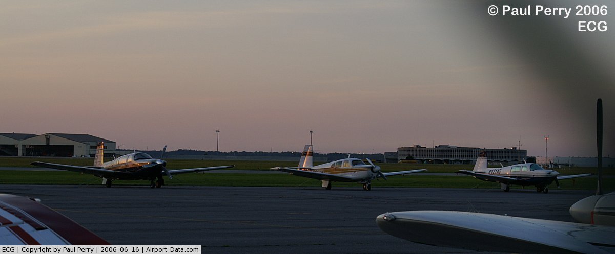
(Click on the photo to enlarge) |
 |
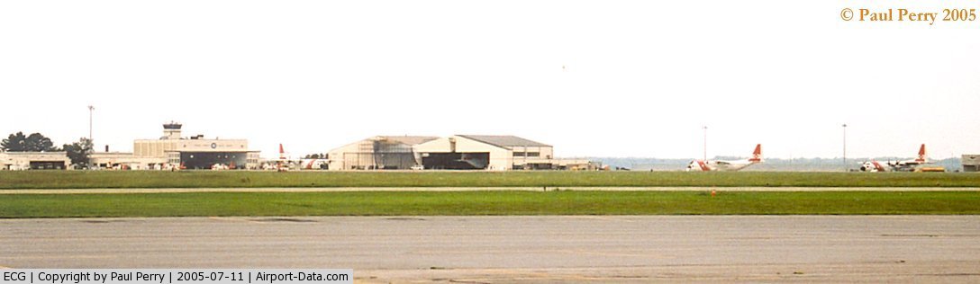
(Click on the photo to enlarge) |
Location & QuickFacts
| FAA Information Effective: | 2008-09-25 |
| Airport Identifier: | ECG |
| Airport Status: | Operational |
| Longitude/Latitude: | 076-10-28.4600W/36-15-38.0900N
-76.174572/36.260581 (Estimated) |
| Elevation: | 12 ft / 3.66 m (Surveyed) |
| Land: | 850 acres |
| From nearest city: | 3 nautical miles SE of Elizabeth City, NC |
| Location: | Pasquotank County, NC |
| Magnetic Variation: | 07W (1975) |
Owner & Manager
| Ownership: | Publicly owned |
| Owner: | Uscg Support Center
ELIZABETH CITY OWNS 18 ACRES IN TERMINAL AREA. |
| Address: | Weeksville Rd
Elizabeth City, NC 27909 |
| Phone number: | 252-335-6378 |
| Manager: | Commanding Officer
A/P CIVIL GA SIDE - MGR SCOTT HINTON 252-335-5634, AFTER HRS 252-489-8977 |
| Address: | Uscg Support Center
Elizabeth City, NC 27909 |
| Phone number: | 252-335-6333 |
Airport Operations and Facilities
| Airport Use: | Open to public |
| Wind indicator: | Yes |
| Segmented Circle: | No |
| Control Tower: | Yes |
| Lighting Schedule: | DUSK-DAWN
ACTVT HIRL RY 10/28 & MIRL RY 01/19 - CTAF. WHEN ATCT CLSD CNTRLN LGTS & VASI RYS 10 & 28 OPER CONT. |
| Beacon Color: | Clear-Green (lighted land airport) |
| Landing fee charge: | No |
| Sectional chart: | Washington |
| Region: | ASO - Southern |
| Traffic Pattern Alt: | 1000 ft |
| Boundary ARTCC: | ZDC - Washington |
| Tie-in FSS: | RDU - Raleigh |
| FSS on Airport: | No |
| FSS Toll Free: | 1-800-WX-BRIEF |
| NOTAMs Facility: | ECG (NOTAM-d service avaliable) |
| Federal Agreements: | NSY1 |
Airport Communications
| CTAF: | 120.500 |
| Unicom: | 122.950 |
Airport Services
| Fuel available: | 100LL80 A1+ |
| Airframe Repair: | MINOR |
| Power Plant Repair: | MINOR |
| Bottled Oxygen: | NONE |
| Bulk Oxygen: | NONE |
Runway Information
Runway 01/19
| Dimension: | 4518 x 150 ft / 1377.1 x 45.7 m |
| Surface: | ASPH-CONC, Fair Condition |
| Weight Limit: | Single wheel: 20000 lbs.
TWIN-TANDEM WEIGHT BEARING CAPACITY 400000 LBS. |
| Edge Lights: | Medium |
| |
Runway 01 |
Runway 19 |
| Longitude: | 076-10-44.6000W | 076-10-42.2900W |
| Latitude: | 36-15-13.7600N | 36-15-58.4000N |
| Elevation: | 10.00 ft | 8.00 ft |
| Alignment: | 2 | 127 |
| Traffic Pattern: | Right | Left |
| Markings: | Non-precision instrument, Good Condition | Non-precision instrument, Good Condition |
| Crossing Height: | 31.00 ft | 28.00 ft |
| Displaced threshold: | 299.00 ft | 0.00 ft |
| VASI: | 4-box on left side | 4-box on left side |
| Visual Glide Angle: | 2.75° | 2.75° |
| Obstruction: | 15 ft road, 200.0 ft from runway, 230 ft left of centerline
APCH RATIO 33:1 FROM DSPLCD THR.
HAS +6 FT FENCE 0-200 FT FM THR 200-250 FT L. | , 50:1 slope to clear |
|
Runway 10/28
| Dimension: | 7219 x 150 ft / 2200.4 x 45.7 m |
| Surface: | ASPH-CONC, Fair Condition |
| Weight Limit: | Single wheel: 100000 lbs.
Dual wheel: 200000 lbs.
TWIN-TANDEM WEIGHT BEARING CAPACITY 400000 LBS. |
| Edge Lights: | High |
| |
Runway 10 |
Runway 28 |
| Longitude: | 076-11-03.1100W | 076-09-35.0500W |
| Latitude: | 36-15-40.8500N | 36-15-37.8500N |
| Elevation: | 10.00 ft | 10.00 ft |
| Alignment: | 92 | 127 |
| ILS Type: | ILS/DME
| |
| Traffic Pattern: | Right | Left |
| Markings: | Precision instrument, Good Condition | Precision instrument, Good Condition |
| Crossing Height: | 49.00 ft | 51.00 ft |
| VASI: | 2-light PAPI on left side | 2-light PAPI on left side |
| Visual Glide Angle: | 3.00° | 3.00° |
| Runway End Identifier: | Yes | Yes
RY 28 REIL OTS INDEFLY. |
| Centerline Lights: | Yes | Yes |
| Touchdown Lights: | Yes | No |
| Obstruction: | 15 ft road, 870.0 ft from runway, 44:1 slope to clear | 24 ft tree, 356.0 ft from runway, 262 ft left of centerline, 6:1 slope to clear |
|
Radio Navigation Aids
| ID |
Type |
Name |
Ch |
Freq |
Var |
Dist |
| LLW | NDB | Woodville | | 254.00 | 10W | 6.0 nm |
| EY | NDB | Chesi | | 233.00 | 09W | 22.7 nm |
| EDE | NDB | Edenton | | 265.00 | 10W | 23.7 nm |
| RK | NDB | Waley | | 249.00 | 10W | 30.7 nm |
| MQI | NDB | Manteo | | 370.00 | 09W | 31.2 nm |
| PVG | NDB | Portsmouth | | 241.00 | 10W | 33.9 nm |
| PMZ | NDB | Plymouth | | 221.00 | 10W | 39.4 nm |
| ASJ | NDB | Ahoskie | | 415.00 | 10W | 48.6 nm |
| NTU | TACAN | Oceana | 113X | | 10W | 34.5 nm |
| NGU | TACAN | Chambers | 048X | | 10W | 41.1 nm |
| ECG | VOR/DME | Elizabeth City | 072X | 112.50 | 07W | 0.2 nm |
| RBX | VOR/DME | Wright Brothers | 053X | 111.60 | 08W | 30.9 nm |
| CVI | VORTAC | Cofield | 093X | 114.60 | 09W | 34.4 nm |
| ORF | VORTAC | Norfolk | 116X | 116.90 | 07W | 38.0 nm |
| FKN | VORTAC | Franklin | 043X | 110.60 | 09W | 48.8 nm |
Remarks
- NO LINE-OF-SIGHT BETWEEN RY ENDS.
- TWY PAVEMENT ROUGH.
- COAST GUARD COMPLEX HAS NUMEROUS BLDGS WITHIN THE BUILDING RESTRICTION LINES.
- RY 01/19 CLSD TO ALL OPNS OVER 12500 LBS.
- PAEW INVOF AER 19.
- ALL DOD TURBOJET ACFT: FULL STOP LNDGS ONLY, PRACTICE APCHS AND TGL PROHIBITED.
- PPR FOR PARKING & SVCS ON COAST GUARD RAMP.
- HEAVY BIRD ACTVTY INVOF ARPT.
- ACFT WITH TAIL HEIGHTS TO 50' PARKED ON APRON FIRST 2000' FROM RWY 28 RIGHT SIDE 250' FROM RWY CNTRLN.
- FACILITIES AND CONNECTOR TAXIWAYS NORTH OF RWY 10/28 RESTRICTED TO OFFICIAL CG BUSINESS; PRIOR PERMISSION REQUIRED FOR ENTRY.
- STRICT COMPLIANCE WITH NOISE ABATEMENT PROCEDURES ARE REQUIRED IN SO FAR AS POSSIBLE; AVOID OVERFLYING POPULATED AREA NW BELOW 1500'; ACFT DEPARTING RWY 1 AND 28 EXPECT CLIMB TO 1500' PRIOR TO TURNING.
- INTERMITTENT TETHERED BALLON OPNS 3 NM SE; DAYLIGHT HRS AT 3000 FT.
- BLIMP OPS & TNG SITE 3 NM SE OF FLD - FLIGHT OPS CONDUCTED IN SURROUNDING AREA.
- COMPASS ROSE FOR MILITARY USE ONLY.
- SEASONAL LOW-FLYING AGRI ACFT BASED IN THE LOCAL AREA.
Images and information placed above are from
http://www.airport-data.com/airport/ECG/
We thank them for the data!
| General Info
|
| Country |
United States
|
| State |
NORTH CAROLINA
|
| FAA ID |
ECG
|
| Latitude |
36-15-38.067N
|
| Longitude |
076-10-28.552W
|
| Elevation |
12 feet
|
| Near City |
ELIZABETH CITY
|
We don't guarantee the information is fresh and accurate. The data may
be wrong or outdated.
For more up-to-date information please refer to other sources.
|
|