|
|
 |
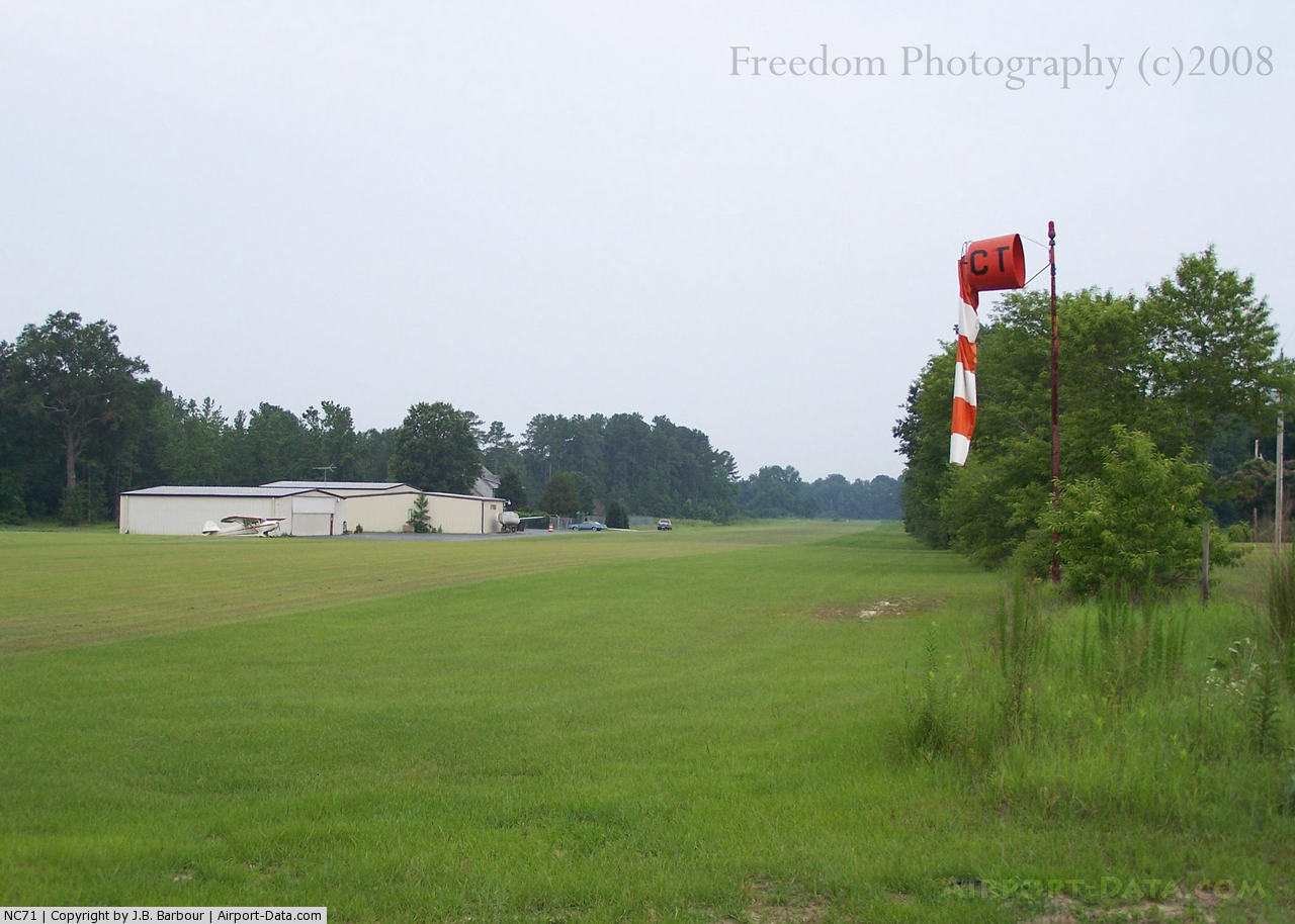
(Click on the photo to enlarge) |
Location & QuickFacts
| FAA Information Effective: | 2008-09-25 |
| Airport Identifier: | NC71 |
| Airport Status: | Operational |
| Longitude/Latitude: | 079-03-09.1120W/34-55-04.5900N
-79.052531/34.917942 (Estimated) |
| Elevation: | 187 ft / 57.00 m (Estimated) |
| Land: | 16 acres |
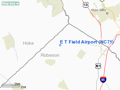
| From nearest city: | 2 nautical miles SE of Parkton, NC |
| Location: | Robeson County, NC |
| Magnetic Variation: | 06W (1985) |
Owner & Manager
| Ownership: | Privately owned |
| Owner: | Elek Torok |
| Address: | 3465 Black & Decker Road
Hope Mills, NC 28348 |
| Phone number: | 910-425-9115 |
| Manager: | Elek Torok |
| Address: | 3465 Black & Decker Road
Hope Mills, NC 28348 |
| Phone number: | 910-425-9115 |
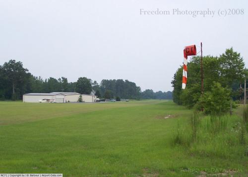
Airport Operations and Facilities
| Airport Use: | Private |
| Wind indicator: | Yes |
| Segmented Circle: | No |
| Control Tower: | No |
| Sectional chart: | Charlotte |
| Region: | ASO - Southern |
| Boundary ARTCC: | ZDC - Washington |
| Tie-in FSS: | RDU - Raleigh |
| FSS on Airport: | No |
| FSS Toll Free: | 1-800-WX-BRIEF |
Runway Information
Runway 01/19
| Dimension: | 2300 x 100 ft / 701.0 x 30.5 m |
| Surface: | TURF, |
| |
Runway 01 |
Runway 19 |
| Traffic Pattern: | Left | Left |
|
Radio Navigation Aids
| ID |
Type |
Name |
Ch |
Freq |
Var |
Dist |
| FGP | NDB | Fort Bragg | | 393.00 | 07W | 17.8 nm |
| RSY | NDB | Robeson | | 359.00 | 08W | 18.3 nm |
| POB | NDB | Pope | | 338.00 | 07W | 19.2 nm |
| ME | NDB | Maxtn | | 257.00 | 08W | 22.3 nm |
| HFF | NDB | Mackall | | 278.00 | 06W | 22.3 nm |
| JB | NDB | Jigel | | 384.00 | 08W | 22.8 nm |
| EEJ | NDB | Lee County/dcmsnd | | 428.00 | 07W | 28.6 nm |
| RCZ | NDB | Roscoe | | 375.00 | 07W | 31.9 nm |
| DLC | NDB | Dillon | | 274.00 | 05W | 32.2 nm |
| CTZ | NDB | Clinton | | 412.00 | 08W | 34.1 nm |
| TT | NDB | Leeco | | 406.00 | 08W | 35.1 nm |
| TGQ | NDB | Elizabethtown | | 398.00 | 08W | 35.4 nm |
| HQT | NDB | Harnett | | 417.00 | 08W | 36.1 nm |
| BES | NDB | Bennettsville | | 230.00 | 07W | 38.1 nm |
| CQW | NDB | Cheraw | | 409.00 | 05W | 41.5 nm |
| CPC | NDB | Camp | | 227.00 | 07W | 42.3 nm |
| JN | NDB | Jurly | | 263.00 | 09W | 45.5 nm |
| MAO | NDB | Marion | | 388.00 | 06W | 46.2 nm |
| POB | TACAN | Pope | 085X | | 07W | 14.6 nm |
| LBT | VOR | Lumberton | | 110.00 | 08W | 18.5 nm |
| FAY | VOR/DME | Fayetteville | 025X | 108.80 | 04W | 9.6 nm |
| SDZ | VORTAC | Sandhills | 055X | 111.80 | 03W | 31.8 nm |
Remarks
Images and information placed above are from
http://www.airport-data.com/airport/NC71/
We thank them for the data!
| General Info
|
| Country |
United States
|
| State |
NORTH CAROLINA
|
| FAA ID |
NC71
|
| Latitude |
34-55-04.590N
|
| Longitude |
079-03-09.112W
|
| Elevation |
187 feet
|
| Near City |
PARKTON
|
We don't guarantee the information is fresh and accurate. The data may
be wrong or outdated.
For more up-to-date information please refer to other sources.
|
|