|
|
| Duplin County Airport |
| IATA: none – ICAO: KDPL – FAA LID: DPL |
| Summary |
| Airport type |
Public |
| Owner |
Duplin County |
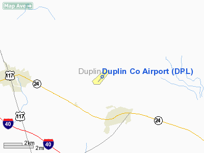
| Location |
Kenansville, North Carolina |
| Elevation AMSL |
137 ft / 41.8 m |
| Coordinates |
35°00′00″N 77°58′54″W / 35°N 77.98167°W / 35; -77.98167Coordinates: 35°00′00″N 77°58′54″W / 35°N 77.98167°W / 35; -77.98167 |
| Runways |
| Direction |
Length |
Surface |
| ft |
m |
| 5/23 |
6,002 |
1,829 |
Asphalt |
Duplin County Airport (ICAO: KDPL, FAA LID: DPL) is a public airport located two miles (3 km) northwest of the central business district (CBD) of Kenansville, a town in Duplin County, North Carolina, USA. This general aviation airport covers 138 acres (56 ha) and has one runway.
Although most U.S. airports use the same three-letter location identifier for the FAA and IATA, Duplin County Airport is assigned DPL by the FAA but has no designation from the IATA (which assigned DPL to Dipolog Airport in Dipolog City, Philippines). The airport's ICAO identifier is KDPL.
History
Duplin County Airport opened December 16, 1964 when a University of North Carolina Medical School airplane landed on the runway.
The above content comes from Wikipedia and is published under free licenses – click here to read more.
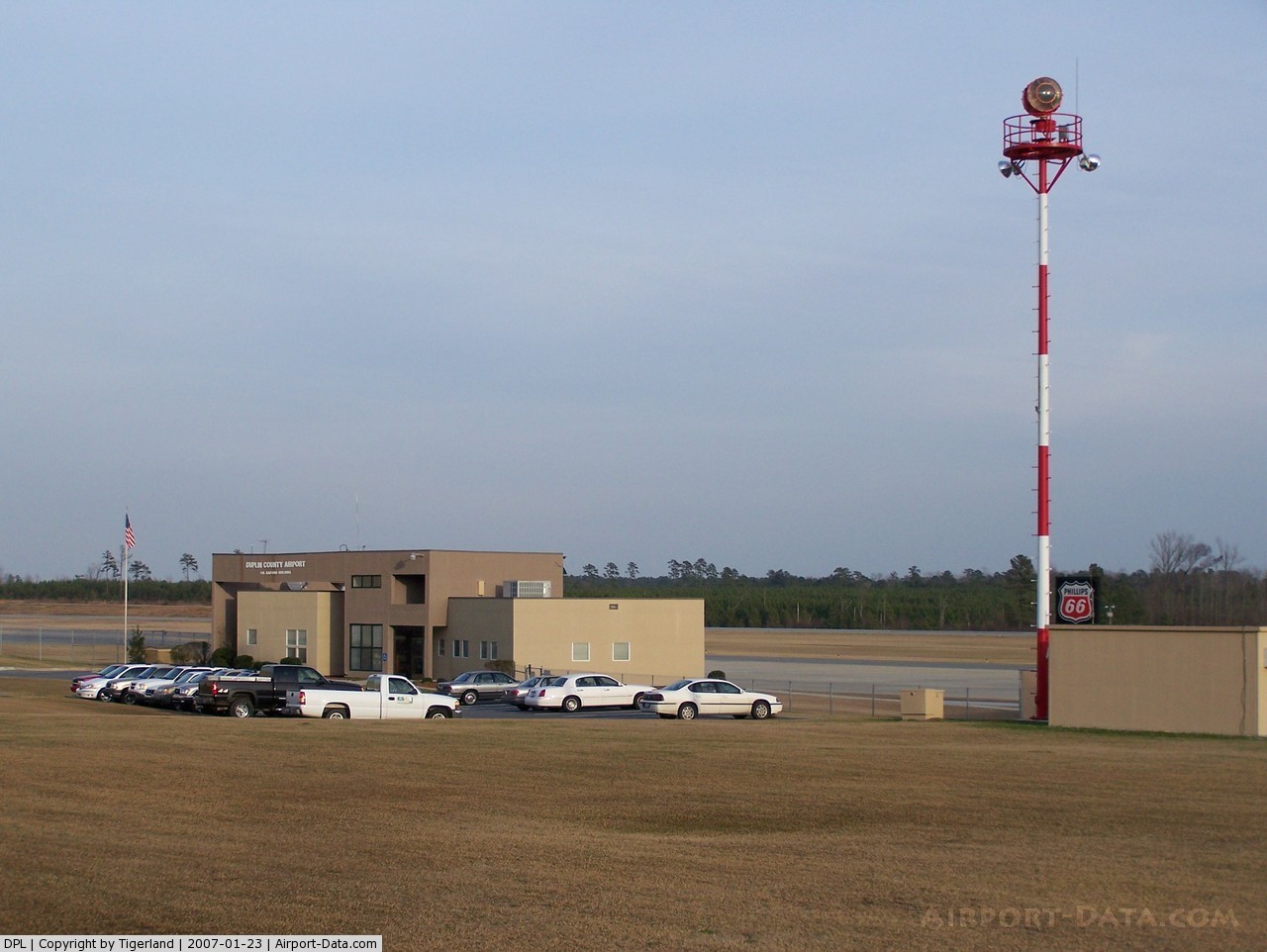
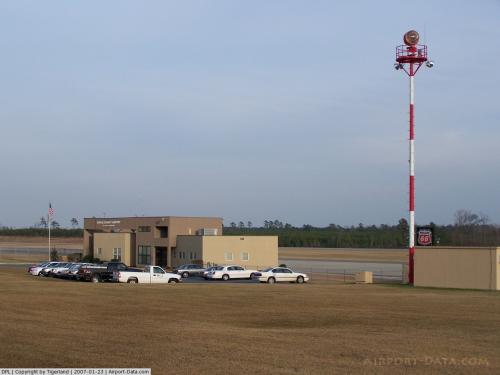 |
(Click on the photo to enlarge) |
Location & QuickFacts
| FAA Information Effective: | 2008-09-25 |
| Airport Identifier: | DPL |
| Airport Status: | Operational |
| Longitude/Latitude: | 077-58-54.1020W/35-00-00.2320N
-77.981695/35.000064 (Estimated) |
| Elevation: | 136 ft / 41.45 m (Surveyed) |
| Land: | 250 acres |
| From nearest city: | 2 nautical miles NW of Kenansville, NC |
| Location: | Duplin County, NC |
| Magnetic Variation: | 07W (1985) |
Owner & Manager
| Ownership: | Publicly owned |
| Owner: | Duplin County |
| Address: | 260 Airport Road
Kenansville, NC 28349 |
| Phone number: | 910-296-2188 |
| Manager: | George Futrelle |
| Address: | 260 Airport Road
Kenansville, NC 28349 |
| Phone number: | 910-296-2188 |
Airport Operations and Facilities
| Airport Use: | Open to public |
| Wind indicator: | Yes |
| Segmented Circle: | Yes |
| Control Tower: | No |
| Lighting Schedule: | DUSK-DAWN
PAPI RYS 05 & 23 OPER CONT. ACTVT REIL RY 05 & 23 - CTAF. MIRL RYS 05/23 ON UNTIL MIDNIGHT. AFTER MIDNIGHT, ACTVT MIRL RYS 05/23 - CTAF. |
| Beacon Color: | Clear-Green (lighted land airport) |
| Landing fee charge: | No |
| Sectional chart: | Charlotte |
| Region: | ASO - Southern |
| Boundary ARTCC: | ZDC - Washington |
| Tie-in FSS: | RDU - Raleigh |
| FSS on Airport: | No |
| FSS Toll Free: | 1-800-WX-BRIEF |
| NOTAMs Facility: | DPL (NOTAM-d service avaliable) |
| Federal Agreements: | NGY |
Airport Communications
| CTAF: | 123.000 |
| Unicom: | 123.000 |
Airport Services
| Fuel available: | 100LLA1+ |
| Airframe Repair: | MAJOR |
| Power Plant Repair: | MAJOR |
| Bottled Oxygen: | HIGH |
| Bulk Oxygen: | NONE |
Runway Information
Runway 05/23
| Dimension: | 6002 x 75 ft / 1829.4 x 22.9 m |
| Surface: | ASPH, Good Condition |
| Weight Limit: | Single wheel: 30000 lbs.
Dual wheel: 50000 lbs. |
| Edge Lights: | Medium |
| |
Runway 05 |
Runway 23 |
| Longitude: | 077-59-15.4827W | 077-58-32.7108W |
| Latitude: | 34-59-36.3120N | 35-00-24.1202N |
| Elevation: | 134.00 ft | 136.00 ft |
| Alignment: | 36 | 127 |
| ILS Type: | | LOCALIZER
|
| Traffic Pattern: | Left | Left |
| Markings: | Non-precision instrument, Good Condition | Non-precision instrument, Good Condition |
| Crossing Height: | 26.00 ft | 44.00 ft |
| VASI: | 2-light PAPI on left side | 2-light PAPI on left side |
| Visual Glide Angle: | 3.00° | 3.00° |
| Runway End Identifier: | Yes | Yes |
| Obstruction: | 62 ft trees, 2015.0 ft from runway, 116 ft right of centerline, 29:1 slope to clear | 45 ft trees, 1181.0 ft from runway, 8 ft left of centerline, 22:1 slope to clear |
|
Radio Navigation Aids
| ID |
Type |
Name |
Ch |
Freq |
Var |
Dist |
| PGV | FAN MARKER | Belvoir | | | 06W | 48.4 nm |
| DKA | NDB | Kenan | | 332.00 | 07W | 5.3 nm |
| ACZ | NDB | Pendy | | 379.00 | 09W | 17.1 nm |
| CTZ | NDB | Clinton | | 412.00 | 08W | 18.8 nm |
| JYN | NDB | Wayne | | 208.00 | 08W | 31.9 nm |
| NCA | NDB | New River | | 356.00 | 08W | 32.0 nm |
| JN | NDB | Jurly | | 263.00 | 09W | 35.9 nm |
| TGQ | NDB | Elizabethtown | | 398.00 | 08W | 38.7 nm |
| EUU | NDB | Jnall | | 251.00 | 07W | 40.8 nm |
| FGP | NDB | Fort Bragg | | 393.00 | 07W | 41.7 nm |
| HQT | NDB | Harnett | | 417.00 | 08W | 42.9 nm |
| RW | NDB | Jambe | | 235.00 | 09W | 46.1 nm |
| POB | NDB | Pope | | 338.00 | 07W | 49.7 nm |
| DIW | NDB/DME | Dixon | 107X | 198.00 | 08W | 36.8 nm |
| GSB | TACAN | Seymour Johnson | 112X | | 08W | 20.1 nm |
| NCA | TACAN | New River | 101X | | 08W | 32.0 nm |
| FAY | VOR/DME | Fayetteville | 025X | 108.80 | 04W | 44.0 nm |
| EWN | VOR/DME | New Bern | 083X | 113.60 | 08W | 46.3 nm |
| ISO | VORTAC | Kinston | 033X | 109.60 | 05W | 30.5 nm |
| ILM | VORTAC | Wilmington | 117X | 117.00 | 07W | 39.3 nm |
Remarks
- DEER/DOGS/BIRDS ON & INVOF ARPT.
- GCO AVBL ON FREQ 135.075 THRU GSB CLEARANCE DELIVERY.
Images and information placed above are from
http://www.airport-data.com/airport/DPL/
We thank them for the data!
| General Info
|
| Country |
United States
|
| State |
NORTH CAROLINA
|
| FAA ID |
DPL
|
| Latitude |
35-00-00.232N
|
| Longitude |
077-58-54.102W
|
| Elevation |
137 feet
|
| Near City |
KENANSVILLE
|
We don't guarantee the information is fresh and accurate. The data may
be wrong or outdated.
For more up-to-date information please refer to other sources.
|
|