|
|
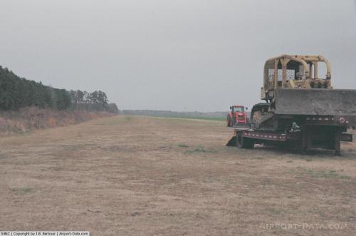 |
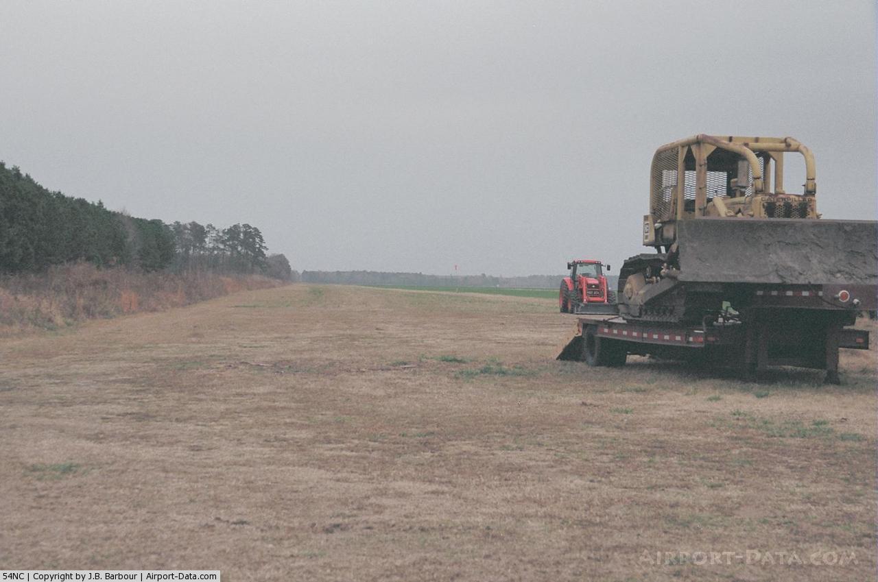
(Click on the photo to enlarge) |
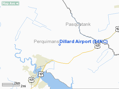
Location & QuickFacts
| FAA Information Effective: | 2008-09-25 |
| Airport Identifier: | 54NC |
| Airport Status: | Operational |
| Longitude/Latitude: | 076-25-02.0000W/36-14-22.0000N
-76.417222/36.239444 (Estimated) |
| Elevation: | 15 ft / 4.57 m (Estimated) |
| Land: | 7 acres |
| From nearest city: | 4 nautical miles NE of Winfall, NC |
| Location: | Perquimans County, NC |
| Magnetic Variation: | 10W (2000) |
Owner & Manager
| Ownership: | Privately owned |
| Owner: | Dillard Ward |
| Address: | Route 2 Box 259
Hertford, NC 27944 |
| Phone number: | 252-426-9676 |
| Manager: | Craig Craft |
| Address: | 603 Swing Gate Road
Hertford, NC 27944 |
| Phone number: | 252-426-7613 |
Airport Operations and Facilities
| Airport Use: | Private |
| Wind indicator: | Yes |
| Segmented Circle: | No |
| Control Tower: | No |
| Sectional chart: | Washington |
| Region: | ASO - Southern |
| Boundary ARTCC: | ZDC - Washington |
| Tie-in FSS: | RDU - Raleigh |
| FSS Toll Free: | 1-800-WX-BRIEF |
Runway Information
Runway 07/25
| Dimension: | 2700 x 85 ft / 823.0 x 25.9 m |
| Surface: | TURF, |
| |
Runway 07 |
Runway 25 |
| Traffic Pattern: | Left | Left |
| Obstruction: | 40 ft pline, 250.0 ft from runway | |
|
Radio Navigation Aids
| ID |
Type |
Name |
Ch |
Freq |
Var |
Dist |
| LLW | NDB | Woodville | | 254.00 | 10W | 5.9 nm |
| EDE | NDB | Edenton | | 265.00 | 10W | 14.8 nm |
| EY | NDB | Chesi | | 233.00 | 09W | 21.7 nm |
| RK | NDB | Waley | | 249.00 | 10W | 24.4 nm |
| PMZ | NDB | Plymouth | | 221.00 | 10W | 30.8 nm |
| PVG | NDB | Portsmouth | | 241.00 | 10W | 32.5 nm |
| ASJ | NDB | Ahoskie | | 415.00 | 10W | 36.9 nm |
| MQI | NDB | Manteo | | 370.00 | 09W | 40.1 nm |
| MCZ | NDB | Williamston | | 336.00 | 09W | 43.5 nm |
| NTU | TACAN | Oceana | 113X | | 10W | 39.7 nm |
| NGU | TACAN | Chambers | 048X | | 10W | 42.6 nm |
| ECG | VOR/DME | Elizabeth City | 072X | 112.50 | 07W | 11.8 nm |
| RBX | VOR/DME | Wright Brothers | 053X | 111.60 | 08W | 39.9 nm |
| CVI | VORTAC | Cofield | 093X | 114.60 | 09W | 23.4 nm |
| FKN | VORTAC | Franklin | 043X | 110.60 | 09W | 40.5 nm |
| ORF | VORTAC | Norfolk | 116X | 116.90 | 07W | 40.6 nm |
Remarks
Images and information placed above are from
http://www.airport-data.com/airport/54NC/
We thank them for the data!
| General Info
|
| Country |
United States
|
| State |
NORTH CAROLINA
|
| FAA ID |
54NC
|
| Latitude |
36-14-22.000N
|
| Longitude |
076-25-02.000W
|
| Elevation |
15 feet
|
| Near City |
WINFALL
|
We don't guarantee the information is fresh and accurate. The data may
be wrong or outdated.
For more up-to-date information please refer to other sources.
|
|