|
|

 |
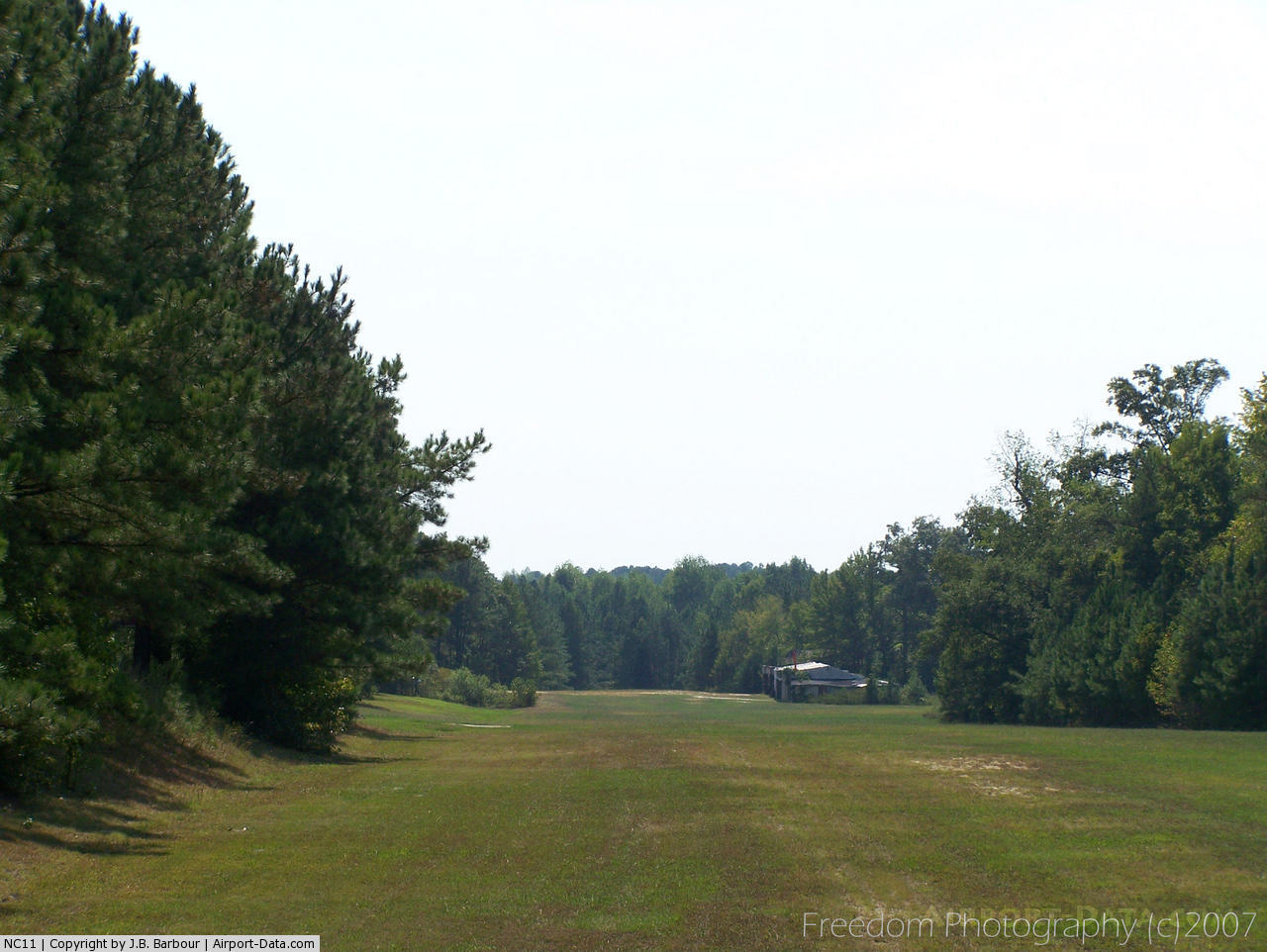
(Click on the photo to enlarge) |
 |
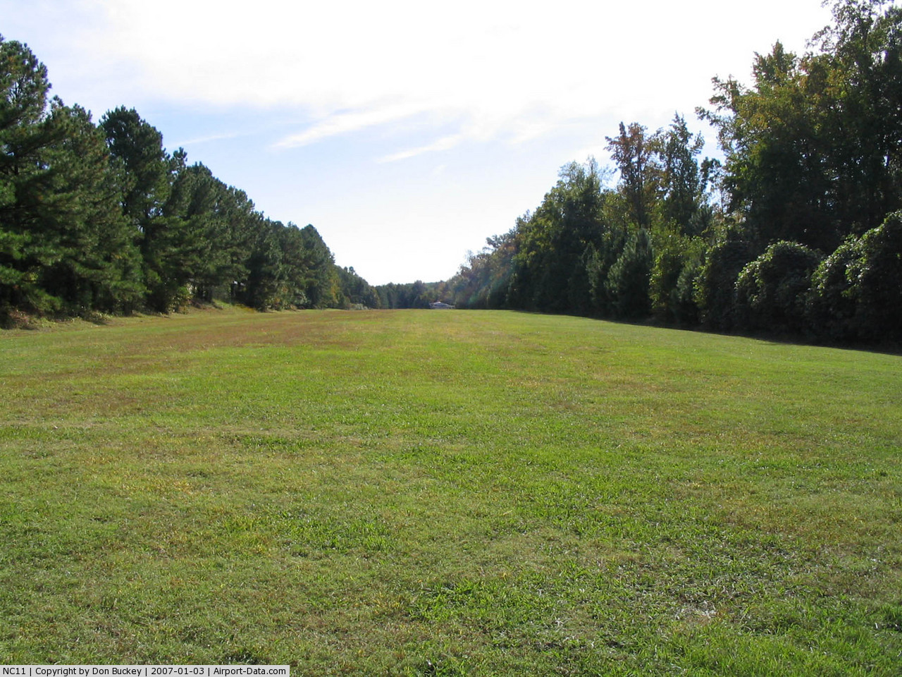
(Click on the photo to enlarge) |
 |
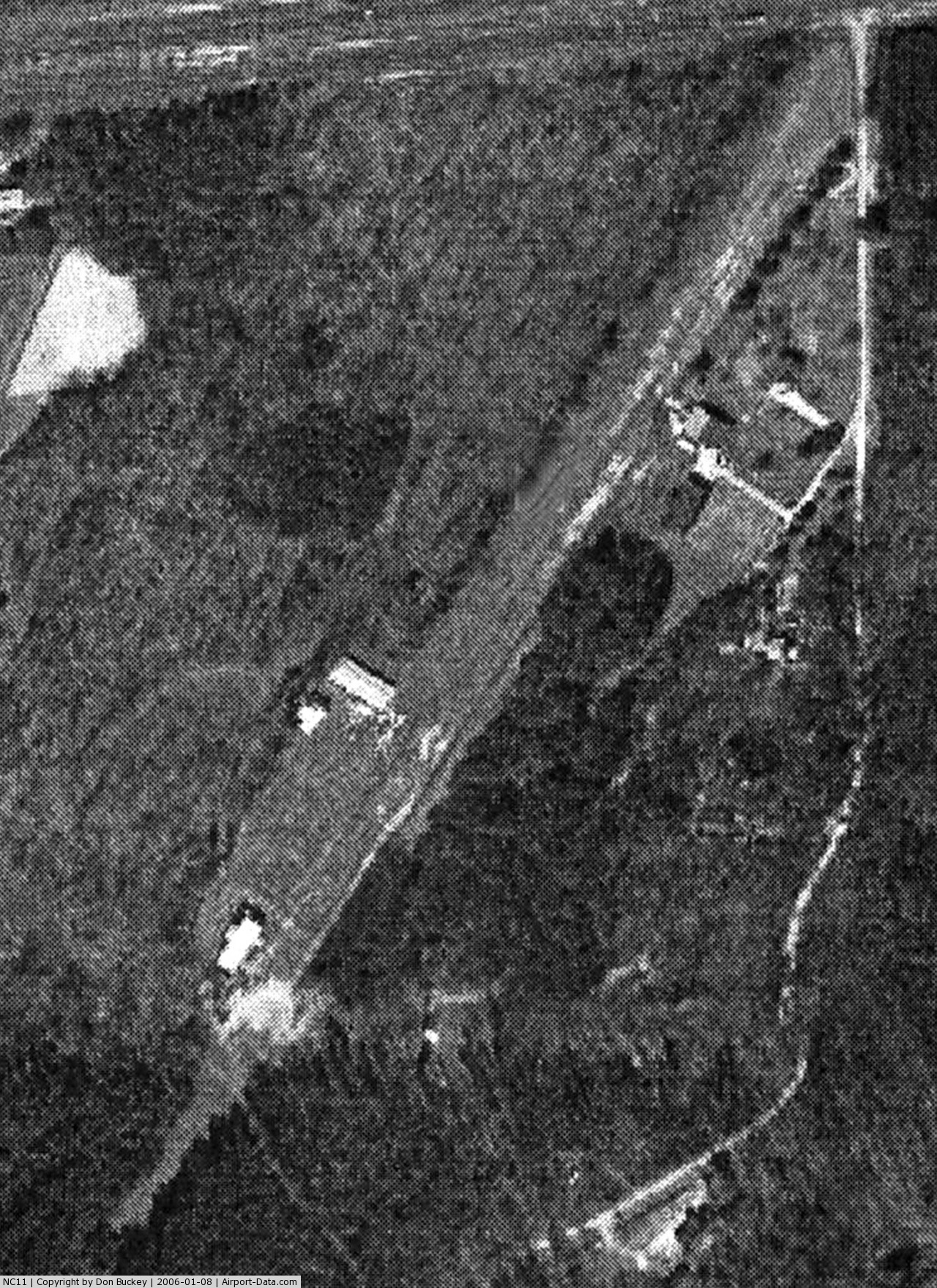
(Click on the photo to enlarge) |
 |
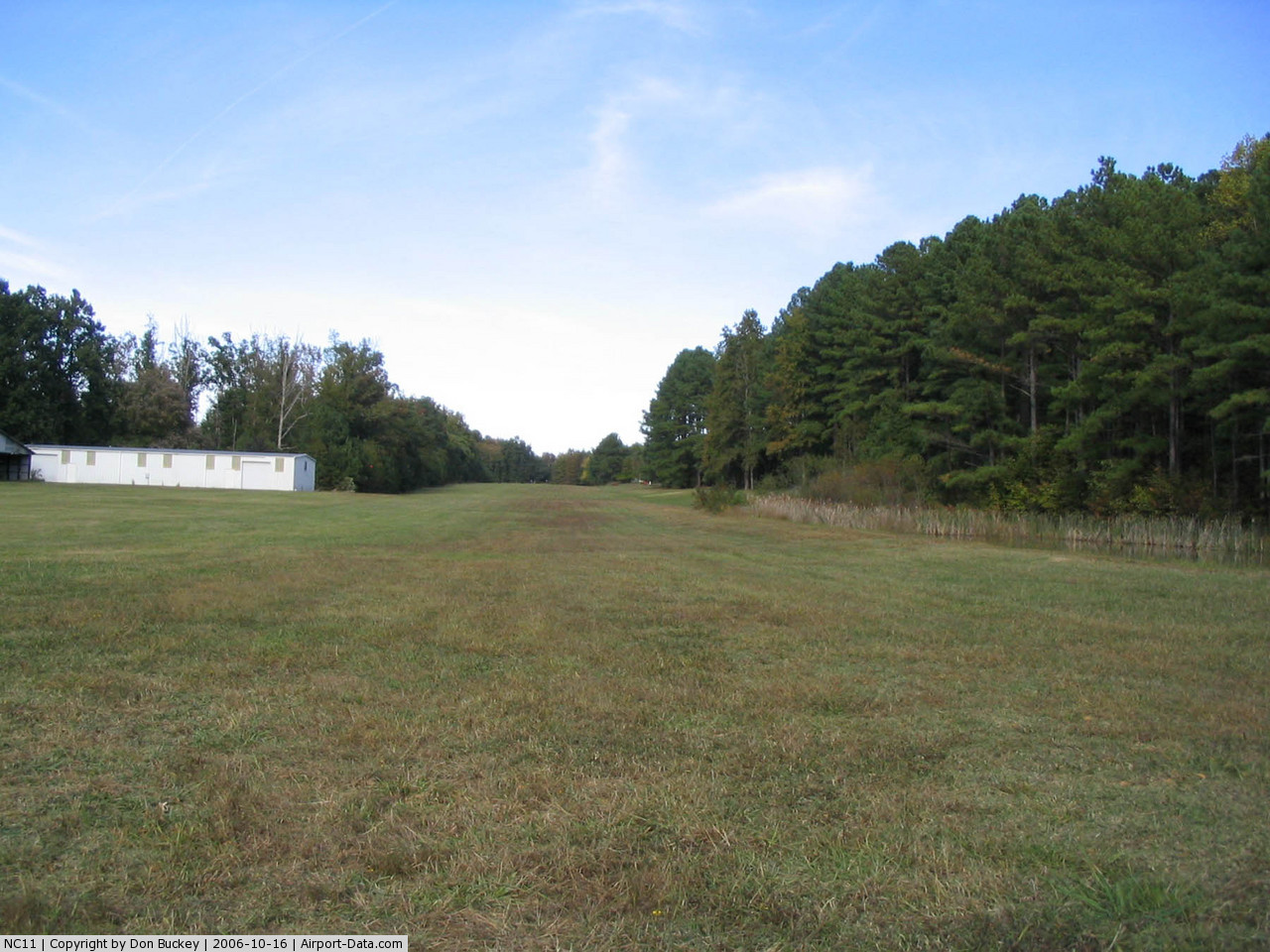
(Click on the photo to enlarge) |
Location & QuickFacts
| FAA Information Effective: | 2008-09-25 |
| Airport Identifier: | NC11 |
| Airport Status: | Operational |
| Longitude/Latitude: | 078-55-29.0310W/35-44-29.5430N
-78.924731/35.741540 (Estimated) |
| Elevation: | 338 ft / 103.02 m (Surveyed) |
| Land: | 7 acres |
| From nearest city: | 3 nautical miles W of Apex, NC |
| Location: | Wake County, NC |
| Magnetic Variation: | 07W (1985) |
Owner & Manager
| Ownership: | Privately owned |
| Owner: | Philippa Hertrick |
| Address: | 1628 Airpark Drive
Apex, NC 27502-7843 |
| Phone number: | 919-387-0641 |
| Manager: | Philippa Hertrick |
| Address: | 1628 Airpark Drive
Apex, NC 27502-7843 |
| Phone number: | 919-387-0641 |
Airport Operations and Facilities
| Airport Use: | Private |
| Wind indicator: | Yes |
| Segmented Circle: | No |
| Control Tower: | No |
| Landing fee charge: | No |
| Sectional chart: | Charlotte |
| Region: | ASO - Southern |
| Boundary ARTCC: | ZDC - Washington |
| Tie-in FSS: | RDU - Raleigh |
| FSS on Airport: | No |
| FSS Toll Free: | 1-800-WX-BRIEF |
Airport Services
| Airframe Repair: | NONE |
| Power Plant Repair: | NONE |
Runway Information
Runway 04/22
| Dimension: | 1950 x 100 ft / 594.4 x 30.5 m |
| Surface: | TURF, |
| |
Runway 04 |
Runway 22 |
| Traffic Pattern: | Left | Left |
|
Radio Navigation Aids
| ID |
Type |
Name |
Ch |
Freq |
Var |
Dist |
| LE | NDB | Leevy | | 350.00 | 07W | 14.9 nm |
| TT | NDB | Leeco | | 406.00 | 08W | 18.1 nm |
| HQT | NDB | Harnett | | 417.00 | 08W | 22.2 nm |
| TOX | NDB | Siler City | | 371.00 | 07W | 26.2 nm |
| EEJ | NDB | Lee County/dcmsnd | | 428.00 | 07W | 26.5 nm |
| EUU | NDB | Jnall | | 251.00 | 07W | 29.0 nm |
| JN | NDB | Jurly | | 263.00 | 09W | 29.2 nm |
| HUR | NDB | Person | | 220.00 | 08W | 30.3 nm |
| POB | NDB | Pope | | 338.00 | 07W | 31.0 nm |
| HB | NDB | Himun | | 361.00 | 08W | 35.2 nm |
| FGP | NDB | Fort Bragg | | 393.00 | 07W | 36.6 nm |
| HXO | NDB | Huntsboro | | 271.00 | 07W | 36.7 nm |
| CQJ | NDB | City Lake | | 266.00 | 08W | 45.9 nm |
| RW | NDB | Jambe | | 235.00 | 09W | 46.9 nm |
| POB | TACAN | Pope | 085X | | 07W | 35.3 nm |
| FAY | VOR/DME | Fayetteville | 025X | 108.80 | 04W | 45.5 nm |
| RDU | VORTAC | Raleigh/durham | 119X | 117.20 | 04W | 10.5 nm |
| LIB | VORTAC | Liberty | 077X | 113.00 | 03W | 33.8 nm |
| SDZ | VORTAC | Sandhills | 055X | 111.80 | 03W | 45.3 nm |
Remarks
Images and information placed above are from
http://www.airport-data.com/airport/NC11/
We thank them for the data!
| General Info
|
| Country |
United States
|
| State |
NORTH CAROLINA
|
| FAA ID |
NC11
|
| Latitude |
35-44-29.543N
|
| Longitude |
078-55-29.031W
|
| Elevation |
338 feet
|
| Near City |
APEX
|
We don't guarantee the information is fresh and accurate. The data may
be wrong or outdated.
For more up-to-date information please refer to other sources.
|
|