|
|
| Dare County Regional Airport |
| IATA: MEO – ICAO: KMQI – FAA LID: MQI |
| Summary |
| Airport type |
Dare County |
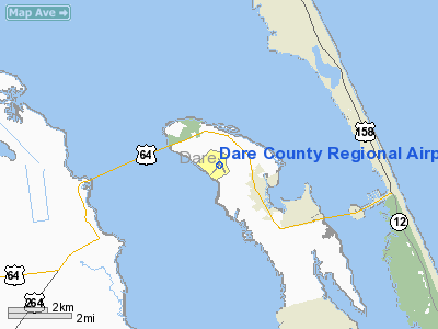
| Location |
Manteo, North Carolina |
| Elevation AMSL |
14 ft / 4.3 m |
| Coordinates |
35°55′08″N 75°41′44″W / 35.91889°N 75.69556°W / 35.91889; -75.69556Coordinates: 35°55′08″N 75°41′44″W / 35.91889°N 75.69556°W / 35.91889; -75.69556 |
| Runways |
| Direction |
Length |
Surface |
| ft |
m |
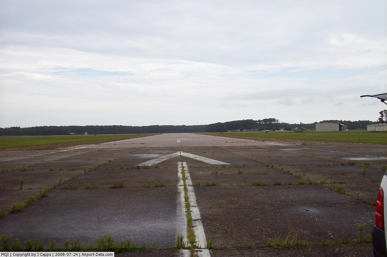
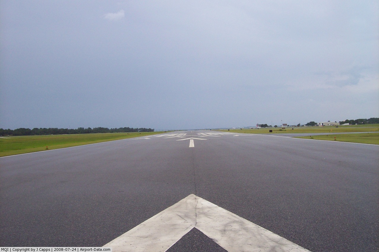
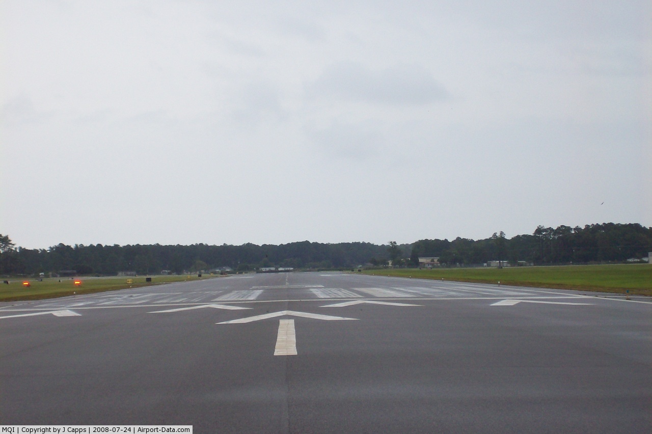
| 5/23 |
4,300 |
1,311 |
Asphalt |
| 17/35 |
3,303 |
1,007 |
Asphalt |
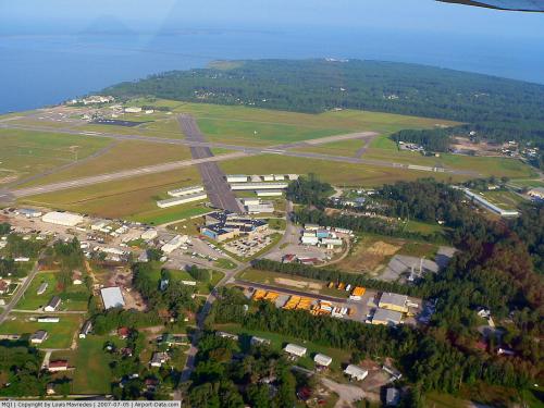
Dare County Regional Airport (IATA: MEO, ICAO: KMQI, FAA LID: MQI) is a public airport located one mile (2 km) northwest of the central business district (CBD) of Manteo, a town in Dare County, North Carolina, USA. This general aviation airport covers 340 acres (138 ha) and has two runways.
In the early 40's the Dare County has been served by a small private airport. A public airport was under construction when the Attack on Pearl Harbor prompted the Navy to abandon plans to construct the Naval Auxiliary Air Station At Cape Hatteras and instead focus on this airport on Roanoke Island which had a similar runway configuration. The Navy Auxiliary Air Station Manteo was completed by the Navy and commissioned on March 3, 1943. NAAS Manteo was shared by the Civil Air Patrol and the Navy and was used for special training of squadrons of F4F Wildcats, F6F Hellcats, SB2C Helldivers, TBM and TBF Avengers. PBY Catalinas and F4U Corsairs. The Navy and Coastgaurd conducted anti submarine patrols from the airfield until the field was placed in caretaker status on December 15, 1945. In 1947 the airfield was returned to the control of Dare County and in 1983 was taken over by the Dare County airport authority.
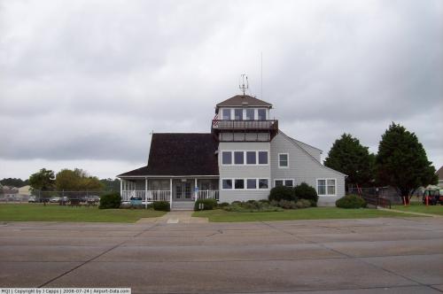
The airport offers a small museum chronicling the history of aviation on the outer banks. The airport is adjacent to the North Carolina Aquarium on Roanoke Island.
Although most U.S. airports use the same three-letter location identifier for the FAA and IATA, Dare County Regional Airport is assigned MQI by the FAA and MEO by the IATA (which assigned MQI to Quincy, Massachusetts). The airport's ICAO identifier is KMQI.
The above content comes from Wikipedia and is published under free licenses – click here to read more.
 |
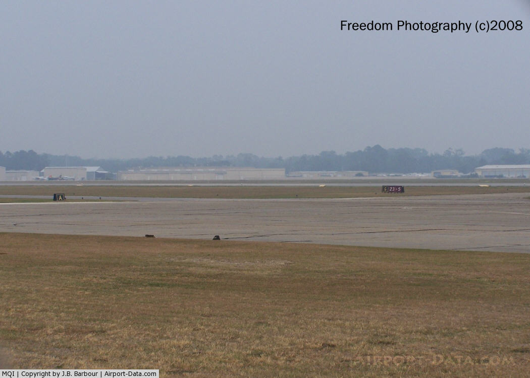
(Click on the photo to enlarge) |
 |
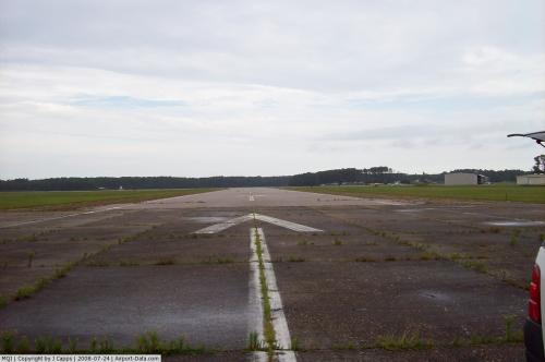
(Click on the photo to enlarge) |
 |
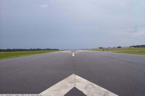
(Click on the photo to enlarge) |
 |
(Click on the photo to enlarge) |
 |
(Click on the photo to enlarge) |
 |
(Click on the photo to enlarge) |
 |
(Click on the photo to enlarge) |
Location & QuickFacts
| FAA Information Effective: | 2008-09-25 |
| Airport Identifier: | MQI |
| Airport Status: | Operational |
| Longitude/Latitude: | 075-41-43.9400W/35-55-08.3600N
-75.695539/35.918989 (Estimated) |
| Elevation: | 14 ft / 4.27 m (Surveyed) |
| Land: | 340 acres |
| From nearest city: | 1 nautical miles NW of Manteo, NC |
| Location: | Dare County, NC |
| Magnetic Variation: | 09W (1985) |
Owner & Manager
| Ownership: | Publicly owned |
| Owner: | Dare County |
| Address: | Po Box 429
Manteo, NC 27954 |
| Phone number: | 252-475-5570 |
| Manager: | Robert Benson |
| Address: | 410 Airport Road
Manteo, NC 27954-9110 |
| Phone number: | 252-475-5571 |
Airport Operations and Facilities
| Airport Use: | Open to public |
| Wind indicator: | Yes |
| Segmented Circle: | Yes |
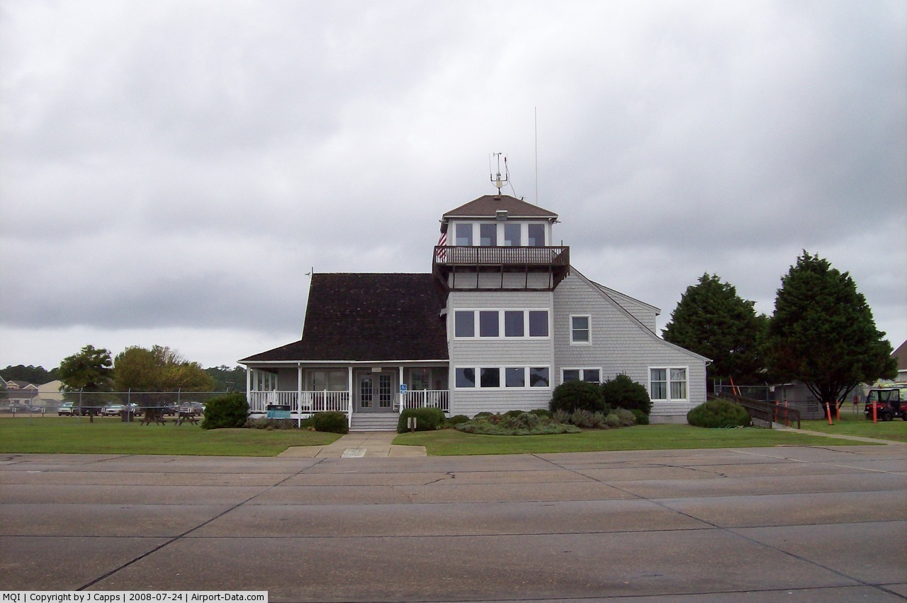
| Control Tower: | No |
| Lighting Schedule: | DUSK-DAWN
ACTVT MIRL RYS 05/23 & 17/35, PAPI RY 05 AND REIL RY 05 - CTAF. |
| Beacon Color: | Clear-Green (lighted land airport) |
| Landing fee charge: | No |
| Sectional chart: | Charlotte |
| Region: | ASO - Southern |
| Boundary ARTCC: | ZDC - Washington |
| Tie-in FSS: | RDU - Raleigh |
| FSS on Airport: | No |
| FSS Toll Free: | 1-800-WX-BRIEF |
| NOTAMs Facility: | MQI (NOTAM-d service avaliable) |
| Federal Agreements: | NGPRY3 |
Airport Communications
| CTAF: | 122.800 |
| Unicom: | 122.800 |
Airport Services
| Fuel available: | 100LLA1+
AFT HOURS SELF SERVICE FUEL AVBL WITH CREDIT CARD - 100LL. CALL 252-216-7028 OR 252-216-8407 |
| Airframe Repair: | MAJOR |
| Power Plant Repair: | MAJOR |
| Bottled Oxygen: | NONE |
| Bulk Oxygen: | NONE |
Runway Information
Runway 05/23
| Dimension: | 4300 x 100 ft / 1310.6 x 30.5 m |
| Surface: | ASPH, Good Condition |
| Weight Limit: | Single wheel: 48000 lbs. |
| Edge Lights: | Medium |
| |
Runway 05 |
Runway 23 |
| Longitude: | 075-42-02.7100W | 075-41-30.4900W |
| Latitude: | 35-54-50.2900N | 35-55-23.7800N |
| Elevation: | 10.00 ft | 13.00 ft |
| Alignment: | 38 | 127 |
| Traffic Pattern: | Left | Left |
| Markings: | Non-precision instrument, Fair Condition | Basic, Fair Condition |
| Crossing Height: | 28.00 ft | 0.00 ft |
| Displaced threshold: | 300.00 ft | 300.00 ft |
| VASI: | 2-light PAPI on left side | 2-light PAPI on left side
PAPI OTS INDEFLY. |
| Visual Glide Angle: | 3.00° | 4.00° |
| Runway End Identifier: | Yes | |
| Obstruction: | , 50:1 slope to clear | 71 ft trees, 699.0 ft from runway, 323 ft left of centerline, 7:1 slope to clear
APCH SLOPE 11:1 AT DSPLCD THLD.
6 FT FENCE 100 FT TO 300 FT FM END OF PAVEMENT; 33 FT POLE AND 57 FT TREE 60 FT FM END OF PVMT AND OFFSET 188 FT LEFT OF CNTRLN. |
|
Runway 17/35
| Dimension: | 3303 x 75 ft / 1006.8 x 22.9 m |
| Surface: | ASPH, Fair Condition |
| Weight Limit: | Single wheel: 20000 lbs. |
| Edge Lights: | Medium |
| |
Runway 17 |
Runway 35 |
| Longitude: | 075-41-47.9900W | 075-41-32.9600W |
| Latitude: | 35-55-25.2200N | 35-54-54.9400N |
| Elevation: | 14.00 ft | 11.00 ft |
| Alignment: | 127 | 127 |
| Traffic Pattern: | Left | Left |
| Markings: | Non-precision instrument, Poor Condition
MARKINGS FADED TO NONEXISTENT. | Non-precision instrument, Poor Condition
MARKINGS FADED TO NONEXISTENT. |
| Displaced threshold: | 300.00 ft | 1000.00 ft |
| Obstruction: | 80 ft trees, 1075.0 ft from runway, 236 ft right of centerline, 10:1 slope to clear
APCH SLOPE 14:1 AT DSPLCD THLD. | 19 ft trees, 205.0 ft from runway
APCH SLOPE 21:1 TO DSPLCD THLD DUE TO 81 FT TREES 1964 FT FROM END OF DSPLCMT 55 FT RIGHT OF CNTRLN.
12 FT TREES 0-200 FT FM END OF RY OFFSET 120 FT LEFT CNTRLN. |
|
Radio Navigation Aids
| ID |
Type |
Name |
Ch |
Freq |
Var |
Dist |
| HI | MARINE NDB | Hatteras Inlet Station/dcm | | 1.00 | 09W | 42.8 nm |
| MQI | NDB | Manteo | | 370.00 | 09W | 0.2 nm |
| LLW | NDB | Woodville | | 254.00 | 10W | 35.8 nm |
| EDE | NDB | Edenton | | 265.00 | 10W | 42.9 nm |
| RBX | VOR/DME | Wright Brothers | 053X | 111.60 | 08W | 0.1 nm |
| ECG | VOR/DME | Elizabeth City | 072X | 112.50 | 07W | 31.0 nm |
Remarks
- RY 05 15 FT DROPOFF 40 FT FM THLD 0B.
- TWY F CLSD PERMLY.
- MIGRATORY WATERFOWL OCT - FEB.
- BANNER TOWING OPNS 200 FT W OF RY 05.
- SEAPLANE RAMP NEAR APRON.
- FBO CLSD CHRISTMAS DAY.
- BUILT PRIOR TO 1958.
Images and information placed above are from
http://www.airport-data.com/airport/MQI/
We thank them for the data!
| General Info
|
| Country |
United States
|
| State |
NORTH CAROLINA
|
| FAA ID |
MQI
|
| Latitude |
35-55-08.357N
|
| Longitude |
075-41-43.942W
|
| Elevation |
14 feet
|
| Near City |
MANTEO
|
We don't guarantee the information is fresh and accurate. The data may
be wrong or outdated.
For more up-to-date information please refer to other sources.
|
|