|
|
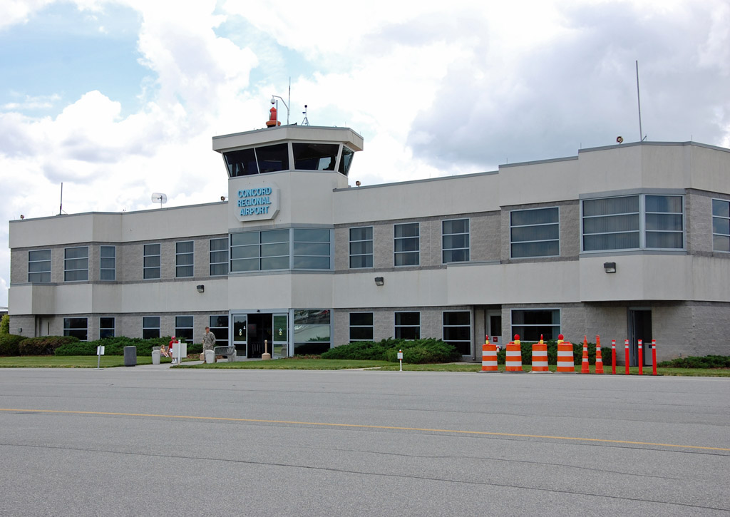
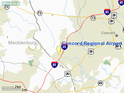
| Concord Regional Airport |
 |
| IATA: none – ICAO: KJQF – FAA LID: JQF |
| Summary |
| Airport type |
Public |
| Owner |
City of Concord |
| Serves |
Concord, North Carolina |
| Elevation AMSL |
705 ft / 215 m |
| Coordinates |
35°23′16″N 080°42′33″W / 35.38778°N 80.70917°W / 35.38778; -80.70917 |
| Website |
ConcordAirportNC.com |
| Runways |
| Direction |
Length |
Surface |
| ft |
m |
| 2/20 |
7,400 |
2,256 |
Asphalt |
| Statistics (2009) |
| Aircraft operations |
68,542 |
| Based aircraft |
164 |
| Source: Federal Aviation Administration |
Concord Regional Airport (ICAO: KJQF, FAA LID: JQF) is a city-owned, public-use airport located seven nautical miles (13 km) west of the central business district of Concord, a city in Cabarrus County, North Carolina, United States. According to the FAA's National Plan of Integrated Airport Systems for 2009–2013, it is classified as a reliever airport for Charlotte/Douglas International Airport.
Although many U.S. airports use the same three-letter location identifier for the FAA and IATA, this airport is assigned JQF by the FAA but has no designation from the IATA.
Because of its close proximity to Charlotte Motor Speedway, the airport is sometimes referred to as "NASCAR's Airport."
Facilities and aircraft
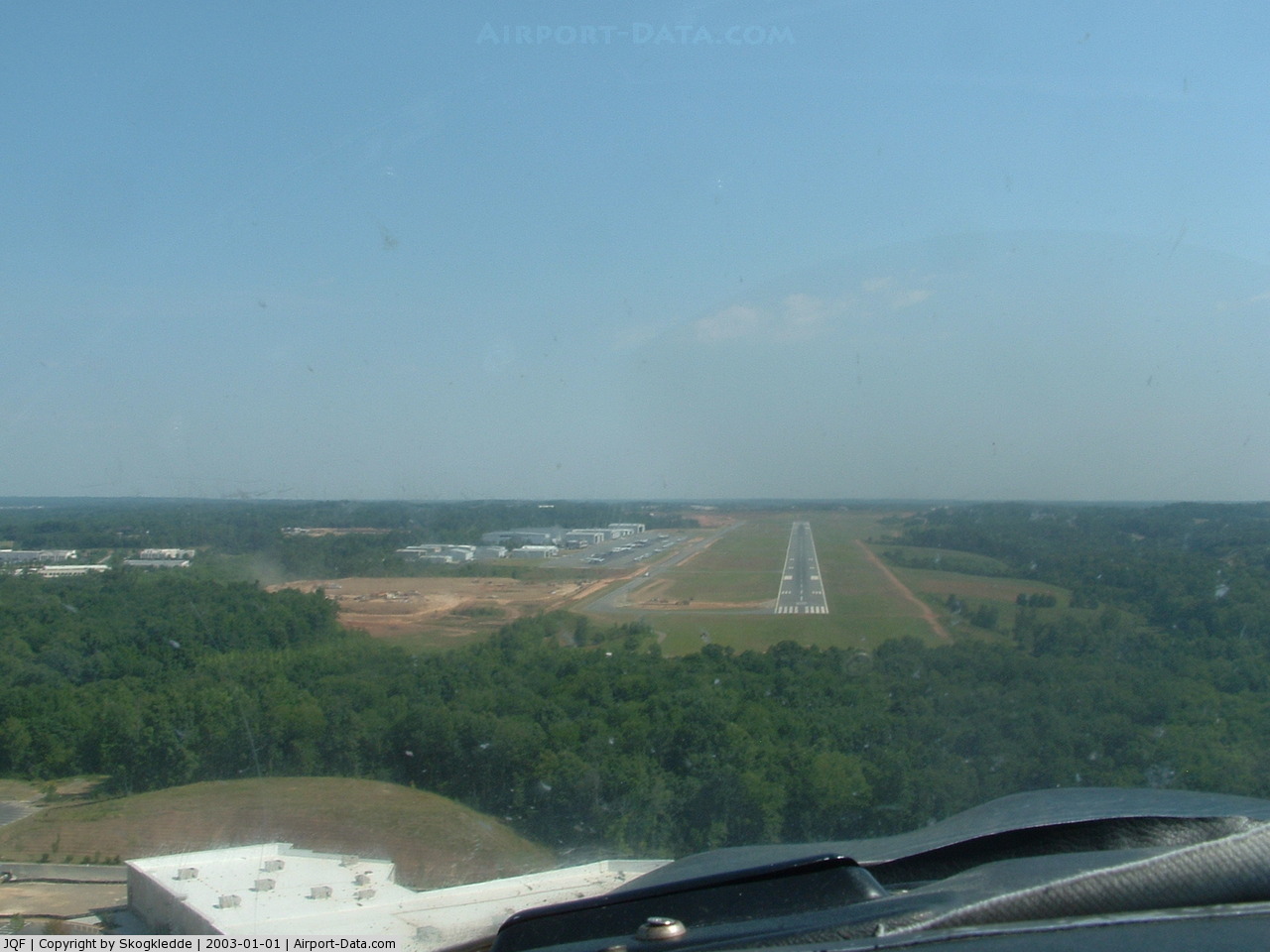
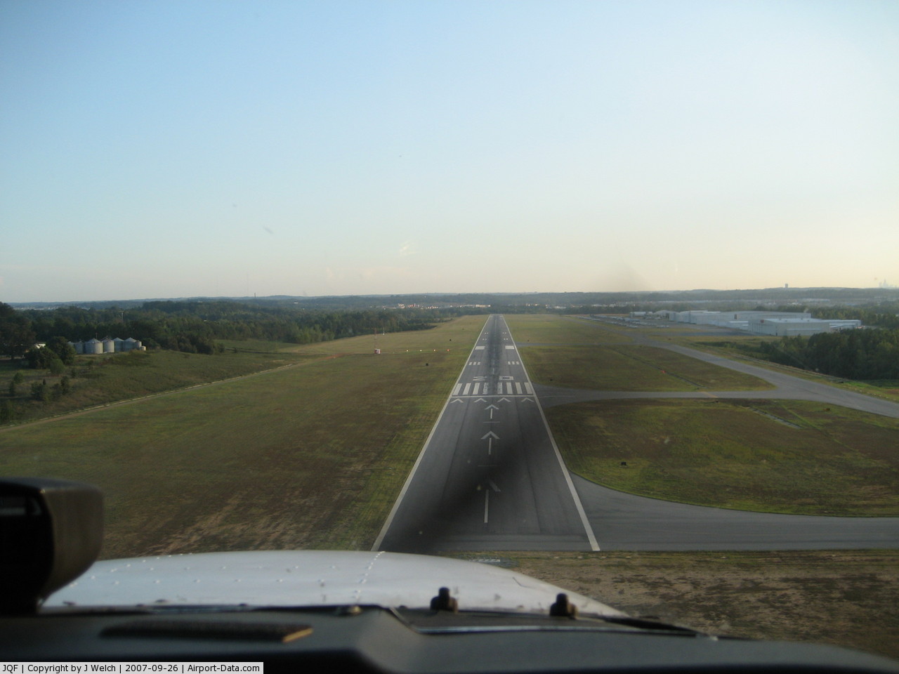
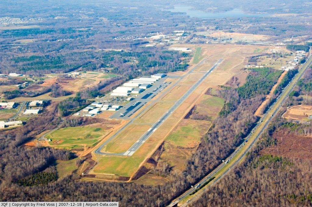
Concord Regional Airport covers an area of 750 acres (304 ha) at an elevation of 705 feet (215 m) above mean sea level. It has one runway designated 2/20 with an asphalt surface measuring 7,400 by 100 feet (2,256 x 30 m).
For the 12-month period ending June 30, 2009, the airport had 68,542 aircraft operations, an average of 187 per day: 85% general aviation, 15% air taxi, <1% military and <1% scheduled commercial. At that time there were 164 aircraft based at this airport: 52% single-engine, 27% multi-engine, 16% jet and 5% helicopter.
The above content comes from Wikipedia and is published under free licenses – click here to read more.
 |
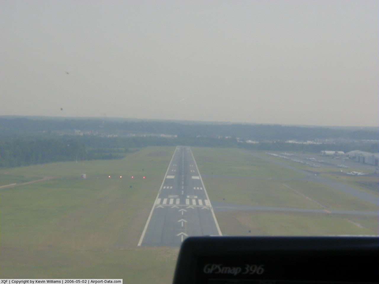
(Click on the photo to enlarge) |
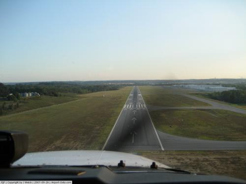 |
(Click on the photo to enlarge) |
 |
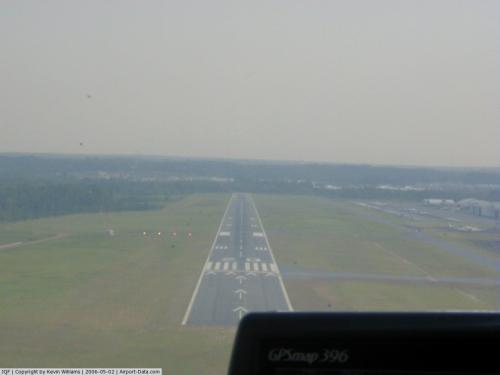
(Click on the photo to enlarge) |
 |
(Click on the photo to enlarge) |
Location & QuickFacts
| FAA Information Effective: | 2008-09-25 |
| Airport Identifier: | JQF |
| Airport Status: | Operational |
| Longitude/Latitude: | 080-42-32.8900W/35-23-15.9900N
-80.709136/35.387775 (Estimated) |
| Elevation: | 705 ft / 214.88 m (Surveyed) |
| Land: | 750 acres |
| From nearest city: | 7 nautical miles W of Concord, NC |
| Location: | Cabarrus County, NC |
| Magnetic Variation: | 06W (1995) |
Owner & Manager
| Ownership: | Publicly owned |
| Owner: | City Of Concord |
| Address: | 9000 Aviation Blvd
Concord, NC 28027 |
| Phone number: | 704-920-5900 |
| Manager: | Richard Lewis |
| Address: | 9000 Aviation Blvd
Concord, NC 28027 |
| Phone number: | 704-793-9000 |
Airport Operations and Facilities
| Airport Use: | Open to public |
| Wind indicator: | Yes |
| Segmented Circle: | Yes |
| Control Tower: | Yes |
| Lighting Schedule: | DUSK-DAWN
WHEN ATCT CLSD HIRL RY 02/20 & REIL RY 02 PRESET LOW INTST . ACTVT MALSR RY 20 - CTAF. |
| Beacon Color: | Clear-Green (lighted land airport) |
| Sectional chart: | Charlotte |
| Region: | ASO - Southern |
| Boundary ARTCC: | ZTL - Atlanta |
| Tie-in FSS: | RDU - Raleigh |
| FSS on Airport: | No |
| FSS Toll Free: | 1-800-WX-BRIEF |
| NOTAMs Facility: | JQF (NOTAM-d service avaliable) |
| Certification type/date: | IV A U 10/200
INDEX C ARFF EQUIP AVBL UPON REQ. |
| Federal Agreements: | NGHY |
Airport Communications
| CTAF: | 134.650 |
| Unicom: | 122.950 |
Airport Services
| Fuel available: | 100LLA A1+ |
| Airframe Repair: | MAJOR |
| Power Plant Repair: | MAJOR |
| Bottled Oxygen: | HIGH |
Runway Information
Runway 02/20
| Dimension: | 7400 x 100 ft / 2255.5 x 30.5 m |
| Surface: | ASPH, Good Condition |
| Weight Limit: | Dual wheel: 72000 lbs. |
| Edge Lights: | High |
| |
Runway 02 |
Runway 20 |
| Longitude: | 080-42-40.9990W | 080-42-24.7650W |
| Latitude: | 35-22-39.9930N | 35-23-51.9800N |
| Elevation: | 640.00 ft | 705.00 ft |
| Alignment: | 10 | 127 |
| ILS Type: | | ILS/DME
|
| Traffic Pattern: | Left | Left |
| Markings: | Precision instrument, Good Condition | Precision instrument, Good Condition |
| Crossing Height: | 60.00 ft | 44.00 ft |
| Displaced threshold: | 0.00 ft | 650.00 ft |
| VASI: | 4-light PAPI on left side | 4-light PAPI on left side |
| Visual Glide Angle: | 3.00° | 3.00° |
| Approach lights: | | MALSR |
| Runway End Identifier: | Yes | |
| Obstruction: | 13 ft trees, 281.0 ft from runway, 248 ft left of centerline, 6:1 slope to clear | 127 ft trees, 3200.0 ft from runway, 500 ft right of centerline, 23:1 slope to clear |
| Decleard distances: | Take off run available 7400.00 ft
Take off distance available 7400.00 ft
Actual stop distance available 7400.00 ft
Landing distance available 7400.00 ft
| Take off run available 7400.00 ft
Take off distance available 7400.00 ft
Actual stop distance available 7000.00 ft
Landing distance available 6350.00 ft
|
|
Radio Navigation Aids
| ID |
Type |
Name |
Ch |
Freq |
Var |
Dist |
| IZN | NDB | Lincolnton | | 432.00 | 06W | 20.6 nm |
| RU | NDB | Rovdy | | 275.00 | 06W | 23.4 nm |
| GHJ | NDB | Stonia | | 260.00 | 06W | 25.0 nm |
| TWL | NDB | Wesley | | 204.00 | 06W | 26.1 nm |
| VW | NDB | Temky | | 280.00 | 05W | 29.0 nm |
| SEN | NDB | Swearing/dcmsnd | | 260.00 | 06W | 31.0 nm |
| VU | NDB | Aller | | 346.00 | 06W | 31.4 nm |
| DVZ | NDB | Davie | | 354.00 | 06W | 33.9 nm |
| UZ | NDB | Rally | | 227.00 | 05W | 35.1 nm |
| AFP | NDB | Anson County | | 283.00 | 07W | 37.7 nm |
| HK | NDB | Tawba | | 332.00 | 06W | 37.7 nm |
| LKR | NDB | Lancaster | | 400.00 | 07W | 40.6 nm |
| PYG | NDB | Pageland | | 270.00 | 06W | 42.7 nm |
| DCM | NDB | Chester | | 220.00 | 06W | 43.5 nm |
| SLP | NDB | First River | | 417.00 | 06W | 44.4 nm |
| CQJ | NDB | City Lake | | 266.00 | 08W | 45.7 nm |
| UKF | NDB | Wilki | | 209.00 | 06W | 47.5 nm |
| CLT | VOR/DME | Charlotte | 097X | 115.00 | 05W | 16.8 nm |
| BZM | VOR/DME | Barretts Mountain | 045X | 110.80 | 06W | 38.9 nm |
| CTF | VOR/DME | Chesterfield | 019X | 108.20 | 03W | 49.2 nm |
| FML | VORTAC | Fort Mill | 071X | 112.40 | 02W | 26.8 nm |
| CLT | VOT | Charlotte | | 112.00 | | 15.3 nm |
| HKY | VOT | Hickory Regional | | 110.00 | | 39.5 nm |
Images and information placed above are from
http://www.airport-data.com/airport/JQF/
We thank them for the data!
| General Info
|
| Country |
United States
|
| State |
NORTH CAROLINA
|
| FAA ID |
JQF
|
| Latitude |
35-23-06.745N
|
| Longitude |
080-42-34.970W
|
| Elevation |
690 feet
|
| Near City |
CONCORD
|
We don't guarantee the information is fresh and accurate. The data may
be wrong or outdated.
For more up-to-date information please refer to other sources.
|
|