 |
|
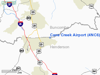
Location & QuickFacts
| FAA Information Effective: | 2008-09-25 |
| Airport Identifier: | 4NC6 |
| Airport Status: | Operational |
| Longitude/Latitude: | 082-28-46.4310W/35-26-40.4160N
-82.479564/35.444560 (Estimated) |
| Elevation: | 2100 ft / 640.08 m (Estimated) |
| Land: | 18 acres |
| From nearest city: | 2 nautical miles NE of Fletcher, NC |
| Location: | Henderson County, NC |
| Magnetic Variation: | 04W (1985) |
Owner & Manager
| Ownership: | Privately owned |
| Owner: | L. A. White |
| Address: | Po Box 685
Fletcher, NC 28732 |
| Phone number: | 828-684-6441 |
| Manager: | Justin M. Aiken |
| Address: | 510 L. A. White Drive
Fletcher, NC 28732 |
| Phone number: | 828-280-2362 |
Airport Operations and Facilities
| Airport Use: | Private |
| Wind indicator: | Yes |
| Segmented Circle: | No |
| Control Tower: | No |
| Landing fee charge: | No |
| Sectional chart: | Atlanta |
| Region: | ASO - Southern |
| Boundary ARTCC: | ZTL - Atlanta |
| Tie-in FSS: | RDU - Raleigh |
| FSS on Airport: | No |
| FSS Toll Free: | 1-800-WX-BRIEF |
Runway Information
Runway 04/22
| Dimension: | 2680 x 160 ft / 816.9 x 48.8 m |
| Surface: | TURF, |
| |
Runway 04 |
Runway 22 |
| Traffic Pattern: | Left | Right |
| Obstruction: | 50 ft pline, 500.0 ft from runway | |
|
Radio Navigation Aids
| ID |
Type |
Name |
Ch |
Freq |
Var |
Dist |
| MRN | FAN MARKER | Lenoir | | | 03W | 46.8 nm |
| BRA | NDB | Broad River | | 379.00 | 04W | 10.3 nm |
| RFE | NDB | Rutherford | | 344.00 | 05W | 26.4 nm |
| LQK | NDB | Lake Keowee | | 408.00 | 04W | 39.6 nm |
| FRT | NDB | Fairmont | | 248.00 | 05W | 40.7 nm |
| FIQ | NDB | Fiddlers | | 391.00 | 07W | 42.6 nm |
| SLP | NDB | First River | | 417.00 | 06W | 44.7 nm |
| GY | NDB | Dyana | | 338.00 | 03W | 45.3 nm |
| DYQ | NDB | Dulaney | | 263.00 | 04W | 46.1 nm |
| SUG | VORTAC | Sugarloaf Mountain | 059X | 112.20 | 02W | 10.6 nm |
| SOT | VORTAC | Snowbird | 025X | 108.80 | 04W | 34.9 nm |
| SPA | VORTAC | Spartanburg | 104X | 115.70 | 02W | 36.7 nm |
Remarks
- VFR, PVT USE, OPNS ARE COORDINATED WITH ASHEVILLE ATCT.
Images and information placed above are from
http://www.airport-data.com/airport/4NC6/
We thank them for the data!
| General Info
|
| Country |
United States
|
| State |
NORTH CAROLINA
|
| FAA ID |
4NC6
|
| Latitude |
35-26-40.416N
|
| Longitude |
082-28-46.431W
|
| Elevation |
2100 feet
|
| Near City |
FLETCHER
|
We don't guarantee the information is fresh and accurate. The data may
be wrong or outdated.
For more up-to-date information please refer to other sources.
|
|


