|
|
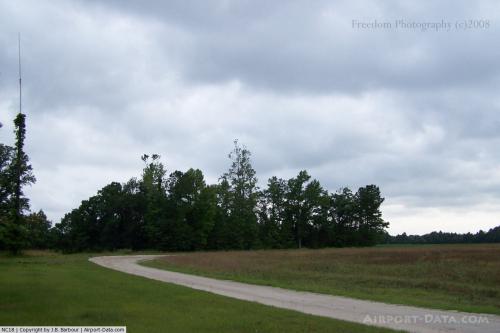 |
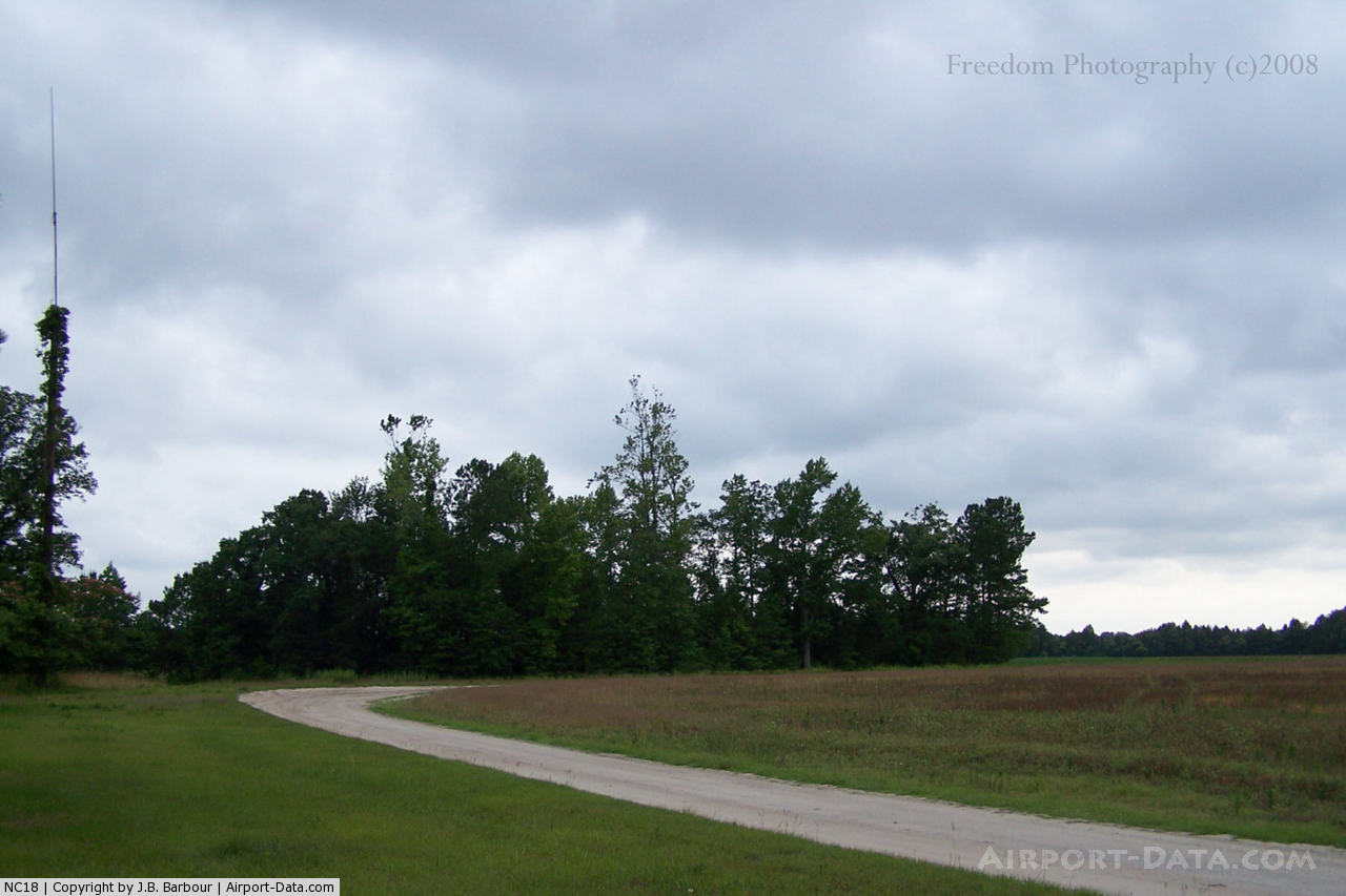
(Click on the photo to enlarge) |
Location & QuickFacts
| FAA Information Effective: | 2008-09-25 |
| Airport Identifier: | NC18 |
| Airport Status: | Operational |
| Longitude/Latitude: | 077-56-58.9590W/34-24-50.6030N
-77.949711/34.414056 (Estimated) |
| Elevation: | 31 ft / 9.45 m (Estimated) |
| Land: | 0 acres |
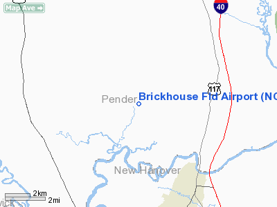
| From nearest city: | 9 nautical miles S of Burgaw, NC |
| Location: | Pender County, NC |
| Magnetic Variation: | 07W (1985) |
Owner & Manager
| Ownership: | Privately owned |
| Owner: | Richard F Brickhouse |
| Address: | Rte 1, Box 227
Rocky Point, NC 28457 |
| Phone number: | 919-675-2470 |
| Address: |
|
Airport Operations and Facilities
| Airport Use: | Private |
| Wind indicator: | Yes |
| Segmented Circle: | No |
| Control Tower: | No |
| Landing fee charge: | No |
| Sectional chart: | Charlotte |
| Region: | ASO - Southern |
| Boundary ARTCC: | ZDC - Washington |
| Tie-in FSS: | RDU - Raleigh |
| FSS on Airport: | No |
| FSS Toll Free: | 1-800-WX-BRIEF |
Airport Services
| Fuel available: | 100 80 |
| Airframe Repair: | NONE |
| Power Plant Repair: | NONE |
Runway Information
Runway 07/25
| Dimension: | 3000 x 60 ft / 914.4 x 18.3 m |
| Surface: | TURF, |
| |
Runway 07 |
Runway 25 |
| Traffic Pattern: | Left | Left |
|
Radio Navigation Aids
| ID |
Type |
Name |
Ch |
Freq |
Var |
Dist |
| ACZ | NDB | Pendy | | 379.00 | 09W | 18.4 nm |
| CLB | NDB | Carolina Beach | | 216.00 | 04W | 18.5 nm |
| TGQ | NDB | Elizabethtown | | 398.00 | 08W | 28.9 nm |
| SUT | NDB | Yaupon | | 233.00 | 08W | 29.9 nm |
| NCA | NDB | New River | | 356.00 | 08W | 31.7 nm |
| CPC | NDB | Camp | | 227.00 | 07W | 38.9 nm |
| CTZ | NDB | Clinton | | 412.00 | 08W | 39.4 nm |
| DKA | NDB | Kenan | | 332.00 | 07W | 39.6 nm |
| DIW | NDB/DME | Dixon | 107X | 198.00 | 08W | 26.3 nm |
| NCA | TACAN | New River | 101X | | 08W | 30.8 nm |
| NJM | TACAN | Bogue Mcalf | 067X | | 08W | 48.5 nm |
| ILM | VORTAC | Wilmington | 117X | 117.00 | 07W | 5.3 nm |
Remarks
Images and information placed above are from
http://www.airport-data.com/airport/NC18/
We thank them for the data!
| General Info
|
| Country |
United States
|
| State |
NORTH CAROLINA
|
| FAA ID |
NC18
|
| Latitude |
34-24-50.603N
|
| Longitude |
077-56-58.959W
|
| Elevation |
31 feet
|
| Near City |
BURGAW
|
We don't guarantee the information is fresh and accurate. The data may
be wrong or outdated.
For more up-to-date information please refer to other sources.
|
|