|
|
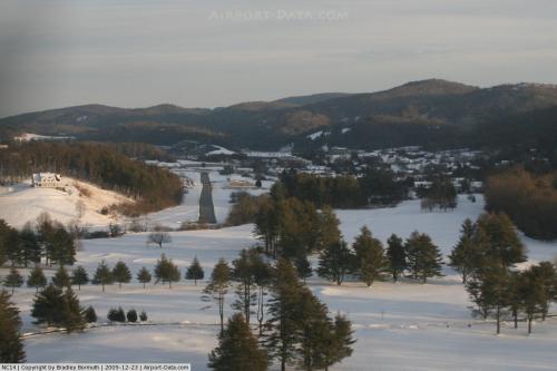 |
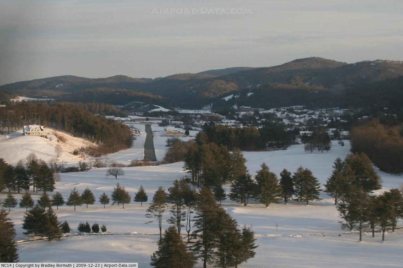
(Click on the photo to enlarge) |
Location & QuickFacts
| FAA Information Effective: | 2008-09-25 |
| Airport Identifier: | NC14 |
| Airport Status: | Operational |
| Longitude/Latitude: | 081-38-22.3810W/36-11-48.4630N
-81.639550/36.196795 (Estimated) |
| Elevation: | 3120 ft / 950.98 m (Estimated) |
| Land: | 17 acres |
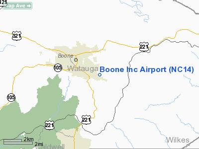
| From nearest city: | 3 nautical miles SE of Boone, NC |
| Location: | Watauga County, NC |
| Magnetic Variation: | 05W (1985) |
Owner & Manager
| Ownership: | Privately owned |
| Owner: | Boone Airport, Inc.
LEASEE. |
| Address: | P.o. Box 3000
Boone, NC 28607 |
| Phone number: | 828-265-3598 |
| Manager: | Neff Dee |
| Address: | Po Box 3
Deep Gap, NC 28618 |
| Phone number: | 828-265-3598 |
Airport Operations and Facilities
| Airport Use: | Private |
| Wind indicator: | Yes |
| Segmented Circle: | No |
| Control Tower: | No |
| Landing fee charge: | Yes |
| Sectional chart: | Cincinnati |
| Region: | ASO - Southern |
| Boundary ARTCC: | ZTL - Atlanta |
| Tie-in FSS: | RDU - Raleigh |
| FSS on Airport: | No |
| FSS Toll Free: | 1-800-WX-BRIEF |
Airport Communications
Airport Services
| Airframe Repair: | MINOR |
| Power Plant Repair: | MINOR |
Runway Information
Runway 13/31
| Dimension: | 2100 x 40 ft / 640.1 x 12.2 m |
| Surface: | ASPH, |
| |
Runway 13 |
Runway 31 |
| Traffic Pattern: | Left | Right |
| Displaced threshold: | 0.00 ft | 500.00 ft |
| Obstruction: | | 25 ft trees, 150.0 ft from runway |
|
Radio Navigation Aids
| ID |
Type |
Name |
Ch |
Freq |
Var |
Dist |
| MRN | FAN MARKER | Lenoir | | | 03W | 24.1 nm |
| BAR | NDB | Hemlock | | 320.00 | 02W | 11.9 nm |
| JJO | NDB | Mountain City | | 396.00 | 04W | 16.0 nm |
| JU | NDB | Ashee | | 410.00 | 07W | 21.0 nm |
| UKF | NDB | Wilki | | 209.00 | 06W | 26.8 nm |
| FIQ | NDB | Fiddlers | | 391.00 | 07W | 29.3 nm |
| HK | NDB | Tawba | | 332.00 | 06W | 29.5 nm |
| EZT | NDB | Elizabethton | | 275.00 | 02W | 31.4 nm |
| VJ | NDB | Whine | | 236.00 | 05W | 35.6 nm |
| VW | NDB | Temky | | 280.00 | 05W | 37.8 nm |
| BO | NDB | Booie | | 221.00 | 04W | 43.2 nm |
| ZEF | NDB | Zephyr | | 326.00 | 05W | 45.0 nm |
| MK | NDB | Suzze | | 335.00 | 06W | 47.5 nm |
| IZN | NDB | Lincolnton | | 432.00 | 06W | 47.9 nm |
| BZM | VOR/DME | Barretts Mountain | 045X | 110.80 | 06W | 27.7 nm |
| GZG | VOR/DME | Glade Spring | 039X | 110.20 | 02W | 43.3 nm |
| HMV | VORTAC | Holston Mountain | 093X | 114.60 | 04W | 27.8 nm |
| HKY | VOT | Hickory Regional | | 110.00 | | 30.0 nm |
Remarks
- TRANSIENT AIRCRAFT WELCOME.
- PRVDD ALL OPNS VFR/PVT USE; GIVE ADVANCE NOTICE OF CHANGE IN STATUS FROM VFR TO IFR.
Images and information placed above are from
http://www.airport-data.com/airport/NC14/
We thank them for the data!
| General Info
|
| Country |
United States
|
| State |
NORTH CAROLINA
|
| FAA ID |
NC14
|
| Latitude |
36-11-48.463N
|
| Longitude |
081-38-22.381W
|
| Elevation |
3120 feet
|
| Near City |
BOONE
|
We don't guarantee the information is fresh and accurate. The data may
be wrong or outdated.
For more up-to-date information please refer to other sources.
|
|