|
|
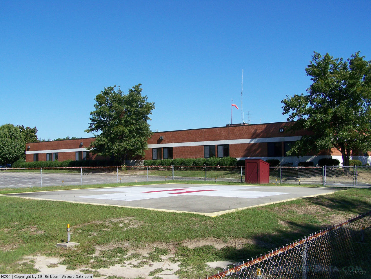
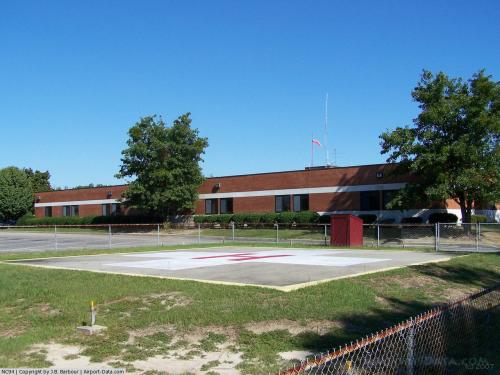
Bladen County Hospital Heliport |
 |
(Click on the photo to enlarge) |
Location & QuickFacts
| FAA Information Effective: | 2008-09-25 |
| Airport Identifier: | NC94 |
| Airport Status: | Operational |
| Longitude/Latitude: | 078-37-31.0470W/34-37-10.6120N
-78.625291/34.619614 (Estimated) |
| Elevation: | 120 ft / 36.58 m (Estimated) |
| Land: | 0 acres |
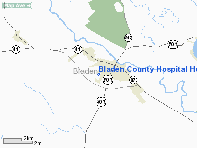
| From nearest city: | 0 nautical miles N of Elizabethtown, NC |
| Location: | Bladen County, NC |
| Magnetic Variation: | 07W (1985) |
Owner & Manager
| Ownership: | Publicly owned |
| Owner: | Bladen County Hospital |
| Address: | Po Box 398
Elizabethtown, NC 28337 |
| Phone number: | 910-862-5100 |
| Manager: | James R. Burney |
| Address: | 501 S. Poplar St
Elizabethtown, NC 28337-9395 |
| Phone number: | 910-862-5100 |
Airport Operations and Facilities
| Airport Use: | Private
MEDICAL. |
| Wind indicator: | Yes |
| Segmented Circle: | No |
| Control Tower: | No |
| Lighting Schedule: | PHONE REQ
FOR HELIPORT BEACON & PERIMETER LGTS CALL 919-862-5100. |
| Beacon Color: | Clear (unlighted land airport) |
| Sectional chart: | Charlotte |
| Region: | ASO - Southern |
| Boundary ARTCC: | ZDC - Washington |
| Tie-in FSS: | RDU - Raleigh |
| FSS on Airport: | No |
| FSS Toll Free: | 1-800-WX-BRIEF |
Runway Information
Helipad H1
| Dimension: | 70 x 70 ft / 21.3 x 21.3 m |
| Surface: | CONC, |
| |
Runway H1 |
Runway |
| Traffic Pattern: | Left | Left |
|
Radio Navigation Aids
| ID |
Type |
Name |
Ch |
Freq |
Var |
Dist |
| TGQ | NDB | Elizabethtown | | 398.00 | 08W | 7.7 nm |
| CPC | NDB | Camp | | 227.00 | 07W | 21.4 nm |
| RSY | NDB | Robeson | | 359.00 | 08W | 21.5 nm |
| CTZ | NDB | Clinton | | 412.00 | 08W | 25.0 nm |
| JB | NDB | Jigel | | 384.00 | 08W | 25.8 nm |
| ACZ | NDB | Pendy | | 379.00 | 09W | 31.3 nm |
| FGP | NDB | Fort Bragg | | 393.00 | 07W | 32.5 nm |
| DLC | NDB | Dillon | | 274.00 | 05W | 38.2 nm |
| POB | NDB | Pope | | 338.00 | 07W | 39.9 nm |
| ME | NDB | Maxtn | | 257.00 | 08W | 41.1 nm |
| MAO | NDB | Marion | | 388.00 | 06W | 43.8 nm |
| DKA | NDB | Kenan | | 332.00 | 07W | 44.2 nm |
| CLB | NDB | Carolina Beach | | 216.00 | 04W | 45.1 nm |
| HQT | NDB | Harnett | | 417.00 | 08W | 49.0 nm |
| HFF | NDB | Mackall | | 278.00 | 06W | 49.0 nm |
| SUT | NDB | Yaupon | | 233.00 | 08W | 49.8 nm |
| POB | TACAN | Pope | 085X | | 07W | 37.9 nm |
| LBT | VOR | Lumberton | | 110.00 | 08W | 21.3 nm |
| FAY | VOR/DME | Fayetteville | 025X | 108.80 | 04W | 25.2 nm |
| ILM | VORTAC | Wilmington | 117X | 117.00 | 07W | 40.5 nm |
| CRE | VORTAC | Grand Strand | 123X | 117.60 | 03W | 48.7 nm |
Remarks
- E111: ALL OPNS CONDUCTED IN VFR WX CONDS. LNDG AREA LIMITED TO PVT USE. USE OF HELI COORD WITH GADO RALEIGH NC.
Images and information placed above are from
http://www.airport-data.com/airport/NC94/
We thank them for the data!
| General Info
|
| Country |
United States
|
| State |
NORTH CAROLINA
|
| FAA ID |
NC94
|
| Latitude |
34-37-10.612N
|
| Longitude |
078-37-31.047W
|
| Elevation |
120 feet
|
| Near City |
ELIZABETHTOWN
|
We don't guarantee the information is fresh and accurate. The data may
be wrong or outdated.
For more up-to-date information please refer to other sources.
|
|