|
|
| Billy Mitchell Airport |
 |
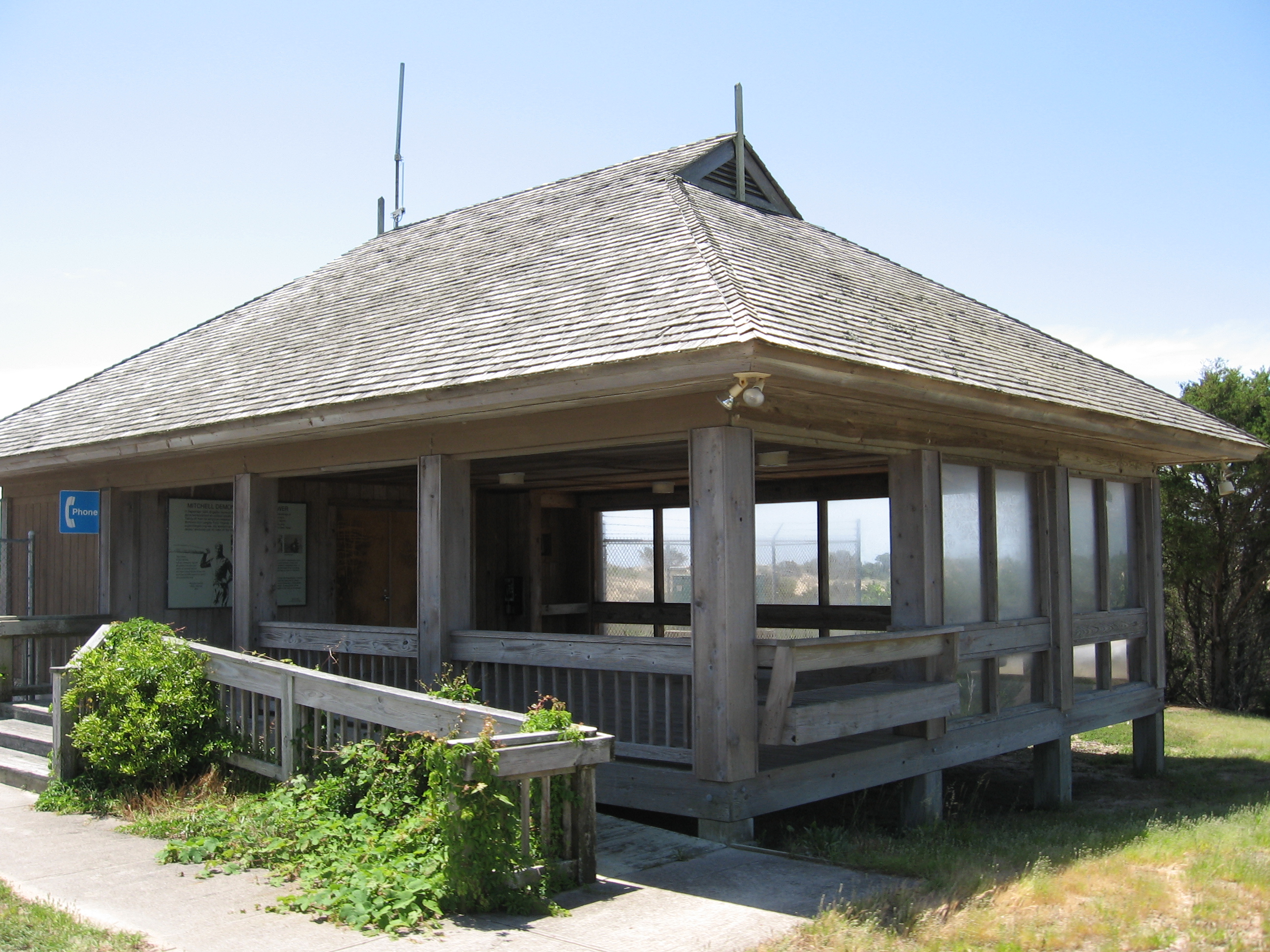
| Billy Mitchell Airport, Frisco, North Carolina, May 2009 |
| IATA: HNC – ICAO: KHSE – FAA LID: HSE |
| Summary |
| Airport type |
National Park Service |
| Operator |
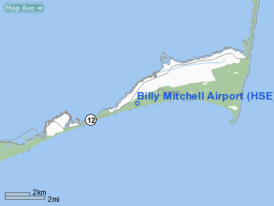
Hatteras, North Carolina |
| Location |
17 |
| Elevation AMSL |
5.2 ft / m |
| Coordinates |
35°13′58″N 075°37′04″W / 35.23278°N 75.61778°W / 35.23278; -75.61778Coordinates: 35°13′58″N 075°37′04″W / 35.23278°N 75.61778°W / 35.23278; -75.61778 |
| Runways |
| Direction |
Length |
Surface |
| ft |
m |
| 7/25 |
3,000 |
914 |
Asphalt |
Billy Mitchell Airport (IATA: HNC, ICAO: KHSE, FAA LID: HSE) is a public airport located in Frisco, four miles (6 km) east of the central business district (CBD) of Hatteras, in Dare County, North Carolina, USA. This general aviation airport covers 100 acres (40 ha) and has one runway.
Although most U.S. airports use the same three-letter location identifier for the FAA and IATA, Billy Mitchell Airport is assigned HSE by the FAA and HNC by the IATA. The airport's ICAO identifier is KHSE.
The above content comes from Wikipedia and is published under free licenses – click here to read more.
 |
(Click on the photo to enlarge) |
Location & QuickFacts
| FAA Information Effective: | 2008-09-25 |
| Airport Identifier: | HSE |
| Airport Status: | Operational |
| Longitude/Latitude: | 075-37-04.0620W/35-13-58.0350N
-75.617795/35.232788 (Estimated) |
| Elevation: | 17 ft / 5.18 m (Surveyed) |
| Land: | 100 acres |
| From nearest city: | 4 nautical miles E of Hatteras, NC |
| Location: | Dare County, NC |
| Magnetic Variation: | 10W (1995) |
Owner & Manager
| Ownership: | Publicly owned |
| Owner: | National Park Service
ARPT UNDER LEASE TO NC DOT UNDER SPECIAL-USE PERMIT. |
| Address: | 1401 National Park Dr
Manteo, NC 27954 |
| Phone number: | 252-473-2111 |
| Manager: | Nc Dot Div Of Aviation
ATTN J H PATE |
| Address: | 1560 Mail Service Center
Raleigh, NC 27699 |
| Phone number: | 919-840-0112 |
Airport Operations and Facilities
| Airport Use: | Open to public |
| Wind indicator: | Yes |
| Segmented Circle: | No |
| Control Tower: | No |
| Landing fee charge: | No |
| Sectional chart: | Charlotte |
| Region: | ASO - Southern |
| Boundary ARTCC: | ZDC - Washington |
| Tie-in FSS: | RDU - Raleigh |
| FSS on Airport: | No |
| FSS Toll Free: | 1-800-WX-BRIEF |
| NOTAMs Facility: | HSE (NOTAM-d service avaliable) |
| Federal Agreements: | N |
Airport Communications
Airport Services
| Airframe Repair: | NONE |
| Power Plant Repair: | NONE |
| Bottled Oxygen: | NONE |
| Bulk Oxygen: | NONE |
Runway Information
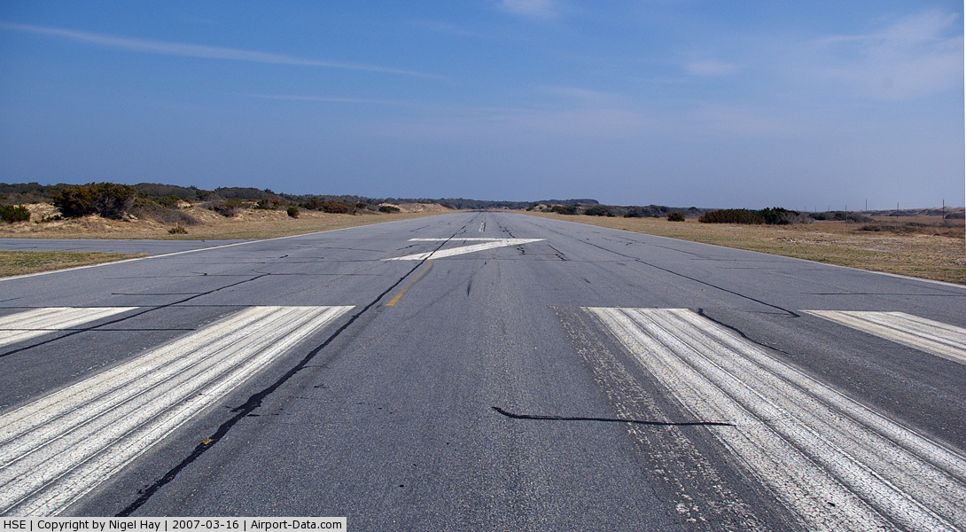
Runway 07/25
| Dimension: | 3000 x 75 ft / 914.4 x 22.9 m |
| Surface: | ASPH, Good Condition |
| Weight Limit: | Single wheel: 30000 lbs. |
| |
Runway 07 |
Runway 25 |
| Longitude: | 075-37-19.1520W | 075-36-48.9510W |
| Latitude: | 35-13-49.9240N | 35-14-06.1890N |
| Elevation: | 10.00 ft | 17.00 ft |
| Alignment: | 57 | 127 |
| Traffic Pattern: | Left | Left |
| Markings: | Non-precision instrument, Fair Condition | Non-precision instrument, Fair Condition |
| Obstruction: | 28 ft pline, 316.0 ft from runway, 145 ft right of centerline, 4:1 slope to clear
+5 FT SAND DUNES 90 FT LEFT OF CNTRLN 0-200 FT FM THR. | 25 ft tree, 235.0 ft from runway, 104 ft right of centerline, 1:1 slope to clear
+15 FT BUSHES 90 R 0-200 FT FM THR. |
|
Radio Navigation Aids
| ID |
Type |
Name |
Ch |
Freq |
Var |
Dist |
| HI | MARINE NDB | Hatteras Inlet Station/dcm | | 1.00 | 09W | 4.6 nm |
| MQI | NDB | Manteo | | 370.00 | 09W | 41.2 nm |
| OUC | NDB/DME | Pamlico/dcmsnd | 034X | 404.00 | 09W | 19.5 nm |
| RBX | VOR/DME | Wright Brothers | 053X | 111.60 | 08W | 41.5 nm |
Remarks
- +15 FT SAND DUNES BOTH SIDES NORTH 1000 FT OF 50 FT FM RY EDGES.
- ARPT CLSD 30 MIN AFTER SS TIL 30 MIN BEFORE SR. ALL NIGHTTIME OPNS PROHIBITED.
- HIGH SPEED LOW LEVEL MIL OPNS IN VIC OF ARPT.
- FLOCKS OF SEAGULLS ON & INVOF OF ARPT.
- RY 07/25 SAFETY AREA IS LOOSE SAND & DUNES - NOT SUITABLE FOR ACFT.
- ADDITIONAL ACFT PARKING AVBL ON NORTH APRON.
- ARPT LCTD IN CAPE HATTERAS NATIONAL SEASHORE. MAINTAIN 2000 FT VERTICAL & HORIZONTAL DISTANCE FROM SEASHORE BEACHES.
- PAEW ADJACENT TO RY 07/25 & TWY.
Images and information placed above are from
http://www.airport-data.com/airport/HSE/
We thank them for the data!
| General Info
|
| Country |
United States
|
| State |
NORTH CAROLINA
|
| FAA ID |
HSE
|
| Latitude |
35-13-58.035N
|
| Longitude |
075-37-04.062W
|
| Elevation |
17 feet
|
| Near City |
HATTERAS
|
We don't guarantee the information is fresh and accurate. The data may
be wrong or outdated.
For more up-to-date information please refer to other sources.
|
|