|
|
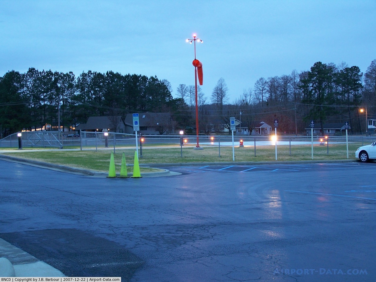
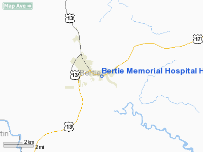
Bertie Memorial Hospital Heliport |
 |
(Click on the photo to enlarge) |
Location & QuickFacts
| FAA Information Effective: | 2008-09-25 |
| Airport Identifier: | 8NC0 |
| Airport Status: | Operational |
| Longitude/Latitude: | 076-55-44.0000W/35-59-18.0000N
-76.928889/35.988333 (Estimated) |
| Elevation: | 5 ft / 1.52 m (Estimated) |
| Land: | 0 acres |
| From nearest city: | 1 nautical miles SE of Windsor, NC |
| Location: | Bertie County, NC |
| Magnetic Variation: | 08W (1985) |
Owner & Manager
| Ownership: | Privately owned |
| Owner: | Bertie Memorial Hospital |
| Address: | 1403 South King St, Po Box 40
Windsor, NC 27983 |
| Phone number: | 252-794-3141 |
| Manager: | Bill Grau, Administrator |
| Address: | Bertie Memorial Hospital, 1403 S King St - Po Box 40
Windsor, NC 27983 |
| Phone number: | 252-794-3141 |
Airport Operations and Facilities
| Airport Use: | Private
MEDICAL |
| Wind indicator: | Yes |
| Segmented Circle: | No |
| Control Tower: | No |
| Lighting Schedule: | DUSK-DAWN |
| Sectional chart: | Charlotte |
| Region: | ASO - Southern |
| Boundary ARTCC: | ZDC - Washington |
| Tie-in FSS: | RDU - Raleigh |
| FSS Toll Free: | 1-800-WX-BRIEF |
Runway Information
Helipad H1
| Dimension: | 40 x 40 ft / 12.2 x 12.2 m |
| Surface: | CONC, |
| |
Runway H1 |
Runway |
| Traffic Pattern: | Left | Left |
|
Radio Navigation Aids
| ID |
Type |
Name |
Ch |
Freq |
Var |
Dist |
| PGV | FAN MARKER | Belvoir | | | 06W | 30.5 nm |
| PMZ | NDB | Plymouth | | 221.00 | 10W | 13.4 nm |
| MCZ | NDB | Williamston | | 336.00 | 09W | 14.4 nm |
| EDE | NDB | Edenton | | 265.00 | 10W | 17.8 nm |
| ASJ | NDB | Ahoskie | | 415.00 | 10W | 22.2 nm |
| AQE | NDB | Alwood | | 230.00 | 09W | 27.4 nm |
| RNW | NDB | Chocowinity | | 388.00 | 07W | 30.1 nm |
| ETC | NDB | Tarboro | | 257.00 | 08W | 30.2 nm |
| LLW | NDB | Woodville | | 254.00 | 10W | 34.8 nm |
| RK | NDB | Waley | | 249.00 | 10W | 39.1 nm |
| ELQ | NDB | Emporia | | 261.00 | 10W | 44.8 nm |
| EY | NDB | Chesi | | 233.00 | 09W | 45.3 nm |
| RZZ | NDB | Rapids | | 407.00 | 08W | 46.6 nm |
| ECG | VOR/DME | Elizabeth City | 072X | 112.50 | 07W | 40.0 nm |
| CVI | VORTAC | Cofield | 093X | 114.60 | 09W | 23.3 nm |
| TYI | VORTAC | Tar River | 125X | 117.80 | 05W | 37.7 nm |
| FKN | VORTAC | Franklin | 043X | 110.60 | 09W | 43.8 nm |
| ISO | VORTAC | Kinston | 033X | 109.60 | 05W | 48.2 nm |
Remarks
- PRVDD VFR OPNS; PVT USE; AREA IS MARKED; WIND INDICATOR IS MAINTAINED.
Images and information placed above are from
http://www.airport-data.com/airport/8NC0/
We thank them for the data!
| General Info
|
| Country |
United States
|
| State |
NORTH CAROLINA
|
| FAA ID |
8NC0
|
| Latitude |
35-59-18.000N
|
| Longitude |
076-55-44.000W
|
| Elevation |
5 feet
|
| Near City |
WINDSOR
|
We don't guarantee the information is fresh and accurate. The data may
be wrong or outdated.
For more up-to-date information please refer to other sources.
|
|