|
|
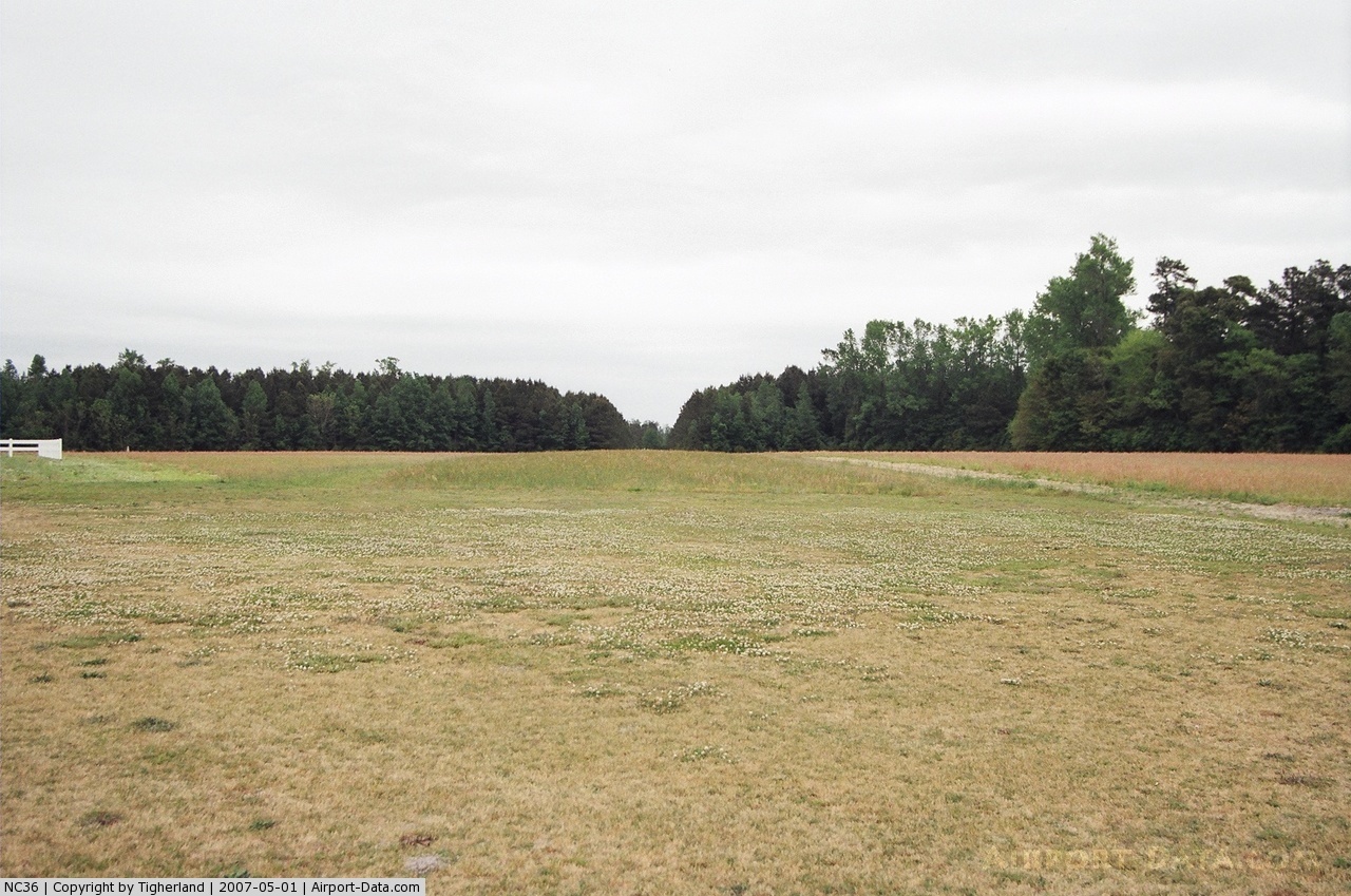
Benton's Airfield Airport |
 |
(Click on the photo to enlarge) |
Location & QuickFacts
| FAA Information Effective: | 2008-09-25 |
| Airport Identifier: | NC36 |
| Airport Status: | Operational |
| Longitude/Latitude: | 078-01-48.9590W/35-30-10.5770N
-78.030266/35.502938 (Estimated) |
| Elevation: | 145 ft / 44.20 m (Estimated) |
| Land: | 0 acres |
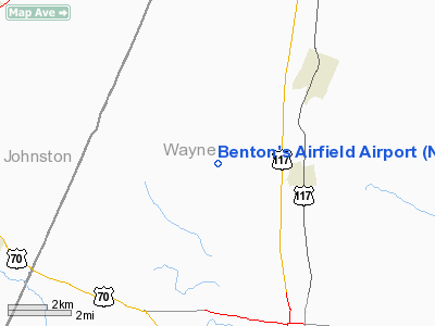
| From nearest city: | 3 nautical miles NW of Pikeville, NC |
| Location: | Wayne County, NC |
| Magnetic Variation: | 07W (1985) |
Owner & Manager
| Ownership: | Privately owned |
| Owner: | Binford E. Benton |
| Address: | Route 3, Box 210
Pikeville, NC 27863 |
| Phone number: | 919-242-6303 |
| Manager: | Binford E. Benton |
| Address: | Route 3, Box 210
Pikeville, NC 27863 |
| Phone number: | 919-242-6303 |
Airport Operations and Facilities
| Airport Use: | Private |
| Wind indicator: | Yes |
| Segmented Circle: | No |
| Control Tower: | No |
| Sectional chart: | Charlotte |
| Region: | ASO - Southern |
| Boundary ARTCC: | ZDC - Washington |
| Tie-in FSS: | RDU - Raleigh |
| FSS Toll Free: | 1-800-WX-BRIEF |
Runway Information
Runway 04/22
| Dimension: | 1800 x 65 ft / 548.6 x 19.8 m |
| Surface: | TURF, |
| |
Runway 04 |
Runway 22 |
| Traffic Pattern: | Left | Left |
| Obstruction: | | 15 ft pline, 100.0 ft from runway |
|
Radio Navigation Aids
| ID |
Type |
Name |
Ch |
Freq |
Var |
Dist |
| PGV | FAN MARKER | Belvoir | | | 06W | 32.7 nm |
| JYN | NDB | Wayne | | 208.00 | 08W | 6.5 nm |
| RW | NDB | Jambe | | 235.00 | 09W | 16.2 nm |
| EUU | NDB | Jnall | | 251.00 | 07W | 17.0 nm |
| JN | NDB | Jurly | | 263.00 | 09W | 19.4 nm |
| DKA | NDB | Kenan | | 332.00 | 07W | 26.5 nm |
| HQT | NDB | Harnett | | 417.00 | 08W | 31.8 nm |
| AQE | NDB | Alwood | | 230.00 | 09W | 34.4 nm |
| ETC | NDB | Tarboro | | 257.00 | 08W | 35.1 nm |
| CTZ | NDB | Clinton | | 412.00 | 08W | 35.7 nm |
| LE | NDB | Leevy | | 350.00 | 07W | 42.3 nm |
| FGP | NDB | Fort Bragg | | 393.00 | 07W | 44.2 nm |
| RNW | NDB | Chocowinity | | 388.00 | 07W | 45.2 nm |
| MCZ | NDB | Williamston | | 336.00 | 09W | 46.8 nm |
| ACZ | NDB | Pendy | | 379.00 | 09W | 47.3 nm |
| POB | NDB | Pope | | 338.00 | 07W | 48.2 nm |
| GSB | TACAN | Seymour Johnson | 112X | | 08W | 10.5 nm |
| ISO | VORTAC | Kinston | 033X | 109.60 | 05W | 24.4 nm |
| TYI | VORTAC | Tar River | 125X | 117.80 | 05W | 32.6 nm |
| RDU | VORTAC | Raleigh/durham | 119X | 117.20 | 04W | 43.0 nm |
Remarks
- VFR PRIVATE USE; PILOTSCONTACT FSS TO OBTAIN INFO ON MILITARY USAGE
Images and information placed above are from
http://www.airport-data.com/airport/NC36/
We thank them for the data!
| General Info
|
| Country |
United States
|
| State |
NORTH CAROLINA
|
| FAA ID |
NC36
|
| Latitude |
35-30-10.577N
|
| Longitude |
078-01-48.959W
|
| Elevation |
145 feet
|
| Near City |
PIKEVILLE
|
We don't guarantee the information is fresh and accurate. The data may
be wrong or outdated.
For more up-to-date information please refer to other sources.
|
|