|
|
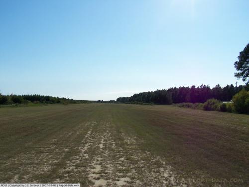 |
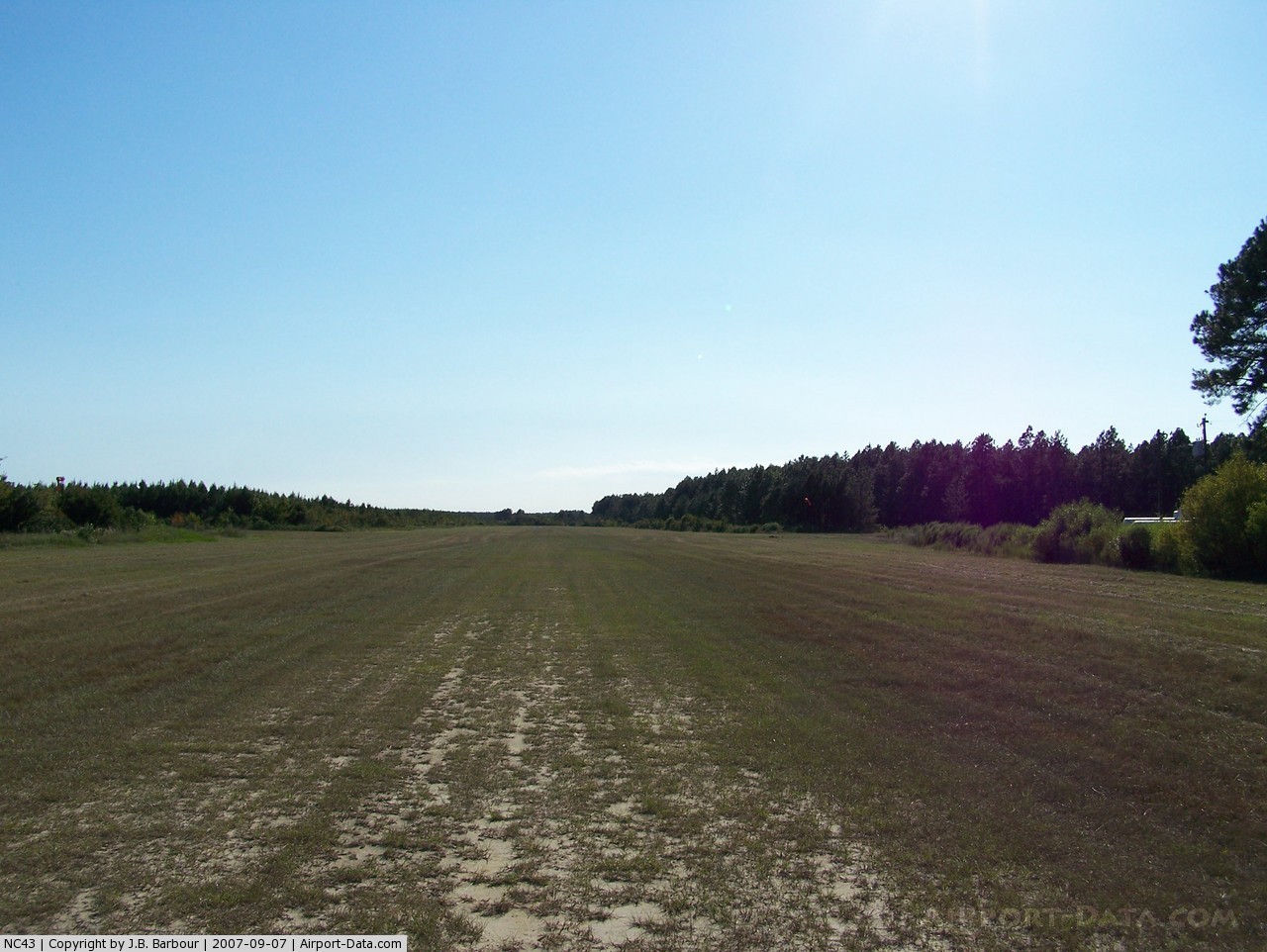
(Click on the photo to enlarge) |
Location & QuickFacts
| FAA Information Effective: | 2008-09-25 |
| Airport Identifier: | NC43 |
| Airport Status: | Operational |
| Longitude/Latitude: | 078-20-17.0090W/34-07-30.6120N
-78.338058/34.125170 (Estimated) |
| Elevation: | 63 ft / 19.20 m (Surveyed) |
| Land: | 0 acres |
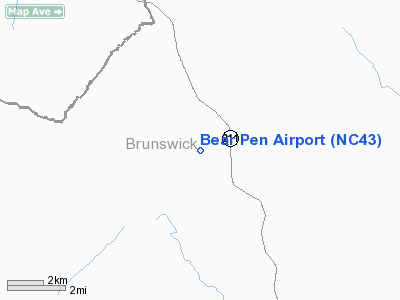
| From nearest city: | 8 nautical miles NW of Supply, NC |
| Location: | Brunswick County, NC |
| Magnetic Variation: | 07W (1985) |
Owner & Manager
| Ownership: | Publicly owned |
| Owner: | North Carolina Forest Service |
| Address: | Route 6 Box 404a
Whiteville, NC 28472 |
| Phone number: | 910-642-5093 |
| Manager: | North Carolina Forest Service |
| Address: | Route 6 Box 404a
Whiteville, NC 28472 |
| Phone number: | 910-642-5093 |
Airport Operations and Facilities
| Airport Use: | Private |
| Wind indicator: | Yes |
| Segmented Circle: | No |
| Control Tower: | No |
| Landing fee charge: | No |
| Sectional chart: | Charlotte |
| Region: | ASO - Southern |
| Boundary ARTCC: | ZJX - Jacksonville |
| Tie-in FSS: | RDU - Raleigh |
| FSS on Airport: | No |
| FSS Toll Free: | 1-800-WX-BRIEF |
Airport Services
| Airframe Repair: | NONE |
| Power Plant Repair: | NONE |
Runway Information
Runway 06/24
| Dimension: | 6000 x 150 ft / 1828.8 x 45.7 m |
| Surface: | TURF, |
| |
Runway 06 |
Runway 24 |
| Traffic Pattern: | Left | Left |
|
Runway 18/36
| Dimension: | 6000 x 200 ft / 1828.8 x 61.0 m |
| Surface: | TURF, |
| |
Runway 18 |
Runway 36 |
| Traffic Pattern: | Left | Left |
|
Radio Navigation Aids
| ID |
Type |
Name |
Ch |
Freq |
Var |
Dist |
| SUT | NDB | Yaupon | | 233.00 | 08W | 17.7 nm |
| CLB | NDB | Carolina Beach | | 216.00 | 04W | 18.8 nm |
| CPC | NDB | Camp | | 227.00 | 07W | 20.7 nm |
| TGQ | NDB | Elizabethtown | | 398.00 | 08W | 25.8 nm |
| ACZ | NDB | Pendy | | 379.00 | 09W | 39.2 nm |
| HYW | NDB | Horry | | 370.00 | 08W | 43.4 nm |
| RSY | NDB | Robeson | | 359.00 | 08W | 46.3 nm |
| JB | NDB | Jigel | | 384.00 | 08W | 47.1 nm |
| MAO | NDB | Marion | | 388.00 | 06W | 49.6 nm |
| LBT | VOR | Lumberton | | 110.00 | 08W | 46.0 nm |
| ILM | VORTAC | Wilmington | 117X | 117.00 | 07W | 26.8 nm |
| CRE | VORTAC | Grand Strand | 123X | 117.60 | 03W | 26.9 nm |
Remarks
- FACILITY USED BY NC FOREST SVC FOR FIRE CONTROL.
- NOT MAINTAINED DURING OFF SEASON; USE NOT RECOMMENDED DURING FIRE SEASON.
- ARPT LIMITED TO PVT USE & VFR OPERATIONS.
Images and information placed above are from
http://www.airport-data.com/airport/NC43/
We thank them for the data!
| General Info
|
| Country |
United States
|
| State |
NORTH CAROLINA
|
| FAA ID |
NC43
|
| Latitude |
34-07-30.612N
|
| Longitude |
078-20-17.009W
|
| Elevation |
63 feet
|
| Near City |
SUPPLY
|
We don't guarantee the information is fresh and accurate. The data may
be wrong or outdated.
For more up-to-date information please refer to other sources.
|
|