|
|
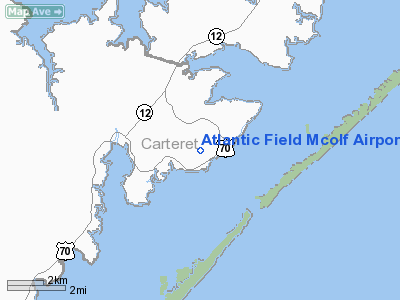
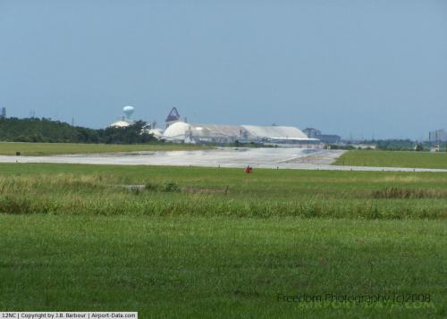
Atlantic Field Mcolf Airport |
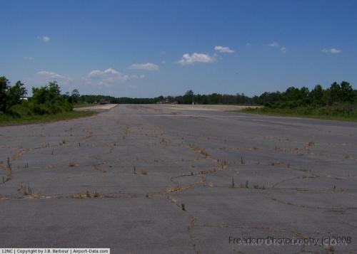 |
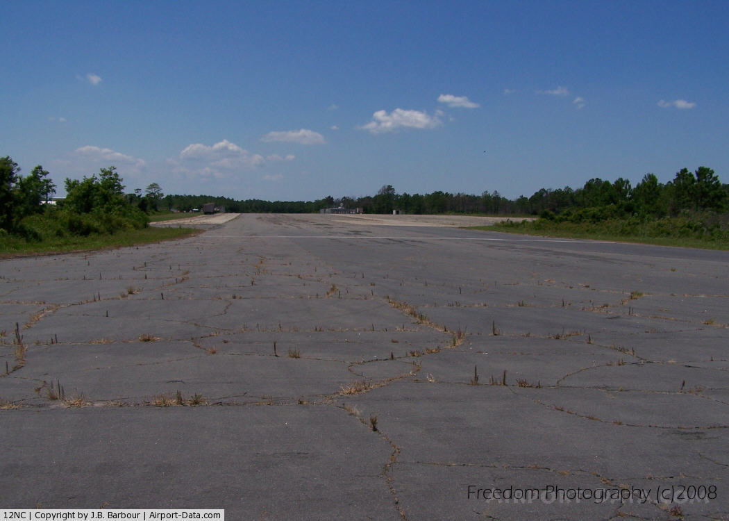
(Click on the photo to enlarge) |
 |
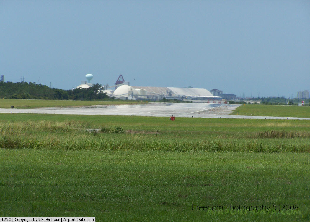
(Click on the photo to enlarge) |
Location & QuickFacts
| FAA Information Effective: | 2008-09-25 |
| Airport Identifier: | 12NC |
| Airport Status: | Operational |
| Longitude/Latitude: | 076-21-00.0000W/34-53-00.0000N
-76.350000/34.883333 (Estimated) |
| Elevation: | 20 ft / 6.10 m (Estimated) |
| Land: | 0 acres |
| From nearest city: | 1 nautical miles NW of Atlantic, NC |
| Location: | Jones County, NC |
| Magnetic Variation: | 09W (1990) |
Owner & Manager
| Ownership: | Navy owned |
| Owner: | Usmc Aerial Sfc Training Dept |
| Address: | Marine Corps Air Station
Cherry Point, NC 28533-5010 |
| Phone number: | 252-466-4025 |
| Manager: | Ops Dir Usmc Aerial Sfc Trg Dept |
| Address: | Marine Corps Air Station
Cherry Point, NC 28533-5010 |
| Phone number: | 252-466-2253 |
Airport Operations and Facilities
| Airport Use: | Private |
| Segmented Circle: | No |
| Control Tower: | No |
| Sectional chart: | Charlotte |
| Region: | ASO - Southern |
| Boundary ARTCC: | ZDC - Washington |
| Tie-in FSS: | NKT - Cherry Point Mcas |
| FSS on Airport: | No |
| FSS Toll Free: | 1-800-WX-BRIEF |
Runway Information
Runway 01/19
| Dimension: | 3575 x 150 ft / 1089.7 x 45.7 m |
| Surface: | ASPH, |
| |
Runway 01 |
Runway 19 |
| Traffic Pattern: | Left | Left |
|
Runway 05/23
| Dimension: | 3678 x 150 ft / 1121.1 x 45.7 m |
| Surface: | ASPH, |
| |
Runway 05 |
Runway 23 |
| Traffic Pattern: | Left | Left |
|
Runway 10/28
| Dimension: | 3500 x 150 ft / 1066.8 x 45.7 m |
| Surface: | ASPH, |
| |
Runway 10 |
Runway 28 |
| Traffic Pattern: | Left | Left |
|
Radio Navigation Aids
| ID |
Type |
Name |
Ch |
Freq |
Var |
Dist |
| HI | MARINE NDB | Hatteras Inlet Station/dcm | | 1.00 | 09W | 37.2 nm |
| MRH | NDB | Morehead | | 269.00 | 08W | 17.9 nm |
| OUC | NDB/DME | Pamlico/dcmsnd | 034X | 404.00 | 09W | 22.7 nm |
| NKT | TACAN | Cherry Point | 075X | | 09W | 25.9 nm |
| NJM | TACAN | Bogue Mcalf | 067X | | 08W | 35.4 nm |
| EWN | VOR/DME | New Bern | 083X | 113.60 | 08W | 36.1 nm |
Images and information placed above are from
http://www.airport-data.com/airport/12NC/
We thank them for the data!
| General Info
|
| Country |
United States
|
| State |
NORTH CAROLINA
|
| FAA ID |
12NC
|
| Latitude |
34-53-00.000N
|
| Longitude |
076-21-00.000W
|
| Elevation |
20 feet
|
| Near City |
ATLANTIC
|
We don't guarantee the information is fresh and accurate. The data may
be wrong or outdated.
For more up-to-date information please refer to other sources.
|
|