|
|
| Asheboro Regional Airport |
| IATA: none – ICAO: KHBI – FAA LID: HBI |
| Summary |
| Airport type |
Public |
| Owner |
City of Asheboro |
| Serves |
Asheboro, North Carolina |
| Elevation AMSL |
671 ft / 205 m |
| Coordinates |
35°39′16″N 079°53′41″W / 35.65444°N 79.89472°W / 35.65444; -79.89472 |
| Runways |
| Direction |
Length |
Surface |
| ft |
m |
| 3/21 |
5,501 |
1,677 |
Asphalt |
| Statistics (2008) |
| Aircraft operations |
15,500 |
| Based aircraft |
45 |
| Source: Federal Aviation Administration |
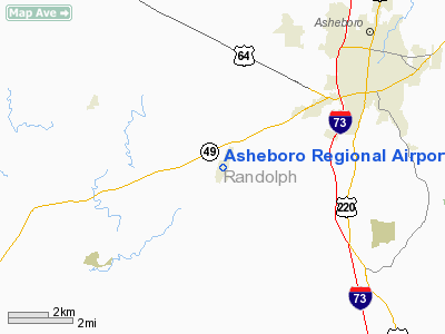
Asheboro Regional Airport (ICAO: KHBI, FAA LID: HBI) is a city-owned public-use airport located six nautical miles (11 km) southwest of the central business district of Asheboro, a city in Randolph County, North Carolina, United States. It was formerly known as Asheboro Municipal Airport.
Although many U.S. airports use the same three-letter location identifier for the FAA and IATA, this facility is assigned HBI by the FAA but has no designation from the IATA (which assigned HBI to Harbour Island in the Bahamas).
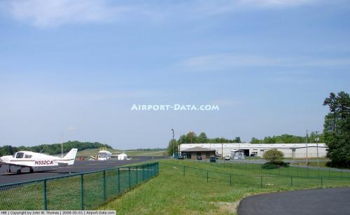
Facilities and aircraft
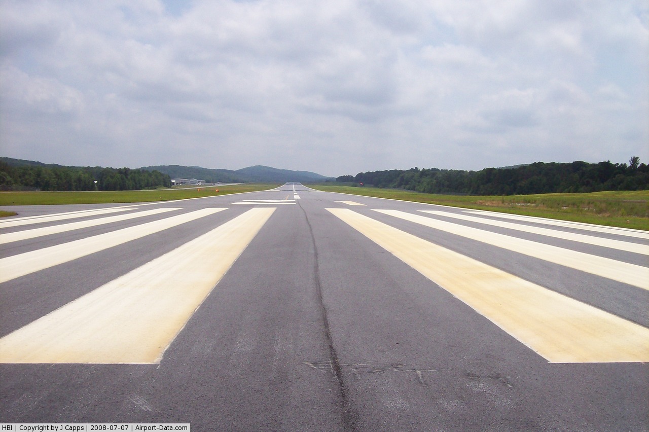
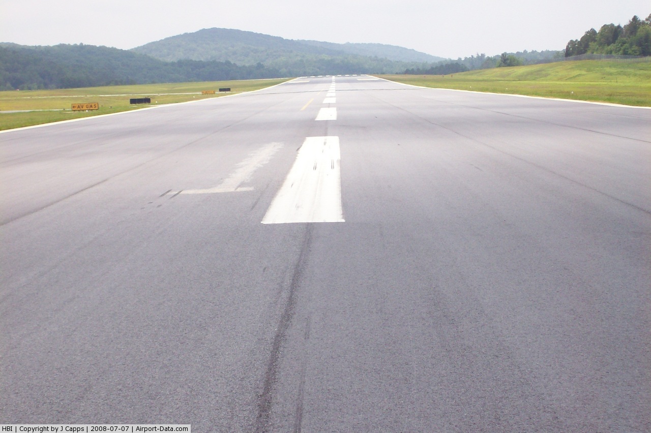
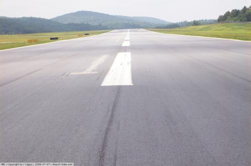
Asheboro Regional Airport covers an area of 454 acres (184 ha) at an elevation of 671 feet (205 m) above mean sea level. It has one runway designated 3/21 with an asphalt surface measuring 5,501 by 100 feet (1,677 x 30 m).
For the 12-month period ending July 7, 2008, the airport had 15,500 aircraft operations, an average of 42 per day: 97% general aviation and 3% military. At that time there were 45 aircraft based at this airport: 78% single-engine, 20% multi-engine and 2% jet.
The above content comes from Wikipedia and is published under free licenses – click here to read more.
 |
(Click on the photo to enlarge) |
 |
(Click on the photo to enlarge) |
 |
(Click on the photo to enlarge) |
 |
(Click on the photo to enlarge) |
Location & QuickFacts
| FAA Information Effective: | 2008-09-25 |
| Airport Identifier: | HBI |
| Airport Status: | Operational |
| Longitude/Latitude: | 079-53-41.0600W/35-39-16.3000N
-79.894739/35.654528 (Estimated) |
| Elevation: | 673 ft / 205.13 m (Surveyed) |
| Land: | 454 acres |
| From nearest city: | 6 nautical miles SW of Asheboro, NC |
| Location: | Randolph County, NC |
| Magnetic Variation: | 08W (2000) |
Owner & Manager
| Ownership: | Publicly owned |
| Owner: | City Of Asheboro |
| Address: | P. O. Box 1106
Asheboro, NC 27204-1106 |
| Phone number: | 336-626-1201 |
| Manager: | Karen Mccraw |
| Address: | 2222 Pilots View Rd
Asheboro, NC 27205-1106 |
| Phone number: | 336-625-6120 |
Airport Operations and Facilities
| Airport Use: | Open to public |
| Wind indicator: | Yes |
| Segmented Circle: | Yes |
| Control Tower: | No |
| Lighting Schedule: | DUSK-DAWN
ACTVT REIL RYS 03 & 21, PAPI RYS 03 & 21 AND AFTER 2300, MIRL RY 03/21 - CTAF. |
| Beacon Color: | Clear-Green (lighted land airport) |
| Landing fee charge: | No |
| Sectional chart: | Charlotte |
| Region: | ASO - Southern |
| Boundary ARTCC: | ZTL - Atlanta |
| Tie-in FSS: | RDU - Raleigh |
| FSS on Airport: | No |
| FSS Toll Free: | 1-800-WX-BRIEF |
| NOTAMs Facility: | HBI (NOTAM-d service avaliable) |
| Federal Agreements: | NY1 |
Airport Communications
| CTAF: | 122.800 |
| Unicom: | 122.800 |
Airport Services
| Fuel available: | 100LLA1+
24 HR SELF SERVICE AVAILABLE WITH CREDIT CARD. |
| Airframe Repair: | MAJOR |
| Power Plant Repair: | MAJOR |
| Bottled Oxygen: | NONE |
| Bulk Oxygen: | NONE |
Runway Information
Runway 03/21
| Dimension: | 5501 x 100 ft / 1676.7 x 30.5 m |
| Surface: | ASPH, Good Condition |
| Weight Limit: | Single wheel: 20000 lbs. |
| Edge Lights: | Medium |
| |
Runway 03 |
Runway 21 |
| Longitude: | 079-53-53.3000W | 079-53-28.8100W |
| Latitude: | 35-38-51.0000N | 35-39-41.6000N |
| Elevation: | 669.00 ft | 673.00 ft |
| Alignment: | 22 | 127 |
| Traffic Pattern: | Left | Left |
| Markings: | Non-precision instrument, Good Condition | Non-precision instrument, Good Condition |
| Crossing Height: | 50.00 ft | 35.00 ft |
| VASI: | 2-light PAPI on left side | 2-light PAPI on left side |
| Visual Glide Angle: | 3.50° | 3.00° |
| Runway End Identifier: | Yes | Yes |
| Obstruction: | , 50:1 slope to clear | 23 ft trees, 816.0 ft from runway, 89 ft right of centerline, 26:1 slope to clear
HAS 6 FT GND 0-200 FT FM THLD 170 FT RIGHT OF CNTRLN. |
|
Radio Navigation Aids
| ID |
Type |
Name |
Ch |
Freq |
Var |
Dist |
| OQA | FAN MARKER | Rockingham County | | | | 46.5 nm |
| CQJ | NDB | City Lake | | 266.00 | 08W | 4.0 nm |
| VU | NDB | Aller | | 346.00 | 06W | 13.5 nm |
| SEN | NDB | Swearing/dcmsnd | | 260.00 | 06W | 21.1 nm |
| TOX | NDB | Siler City | | 371.00 | 07W | 22.1 nm |
| HB | NDB | Himun | | 361.00 | 08W | 24.6 nm |
| RU | NDB | Rovdy | | 275.00 | 06W | 29.4 nm |
| DVZ | NDB | Davie | | 354.00 | 06W | 31.5 nm |
| EEJ | NDB | Lee County/dcmsnd | | 428.00 | 07W | 37.0 nm |
| TT | NDB | Leeco | | 406.00 | 08W | 38.1 nm |
| AFP | NDB | Anson County | | 283.00 | 07W | 39.0 nm |
| HFF | NDB | Mackall | | 278.00 | 06W | 42.7 nm |
| SIF | NDB | Slammer | | 423.00 | 07W | 44.2 nm |
| RCZ | NDB | Roscoe | | 375.00 | 07W | 49.2 nm |
| LIB | VORTAC | Liberty | 077X | 113.00 | 03W | 16.7 nm |
| GSO | VORTAC | Greensboro | 109X | 116.20 | 03W | 23.8 nm |
| SDZ | VORTAC | Sandhills | 055X | 111.80 | 03W | 30.4 nm |
Remarks
- TERRAIN RISING SOUTH OF THE AIRPORT.
- RY 03 HAS 40 FT DROPOFF 400 FT FM THLD; 0B.
- GCO AVBL ON FREQ 130.70 THRU FLT SVCS.
Images and information placed above are from
http://www.airport-data.com/airport/HBI/
We thank them for the data!
| General Info
|
| Country |
United States
|
| State |
NORTH CAROLINA
|
| FAA ID |
HBI
|
| Latitude |
35-39-16.300N
|
| Longitude |
079-53-41.060W
|
| Elevation |
673 feet
|
| Near City |
ASHEBORO
|
We don't guarantee the information is fresh and accurate. The data may
be wrong or outdated.
For more up-to-date information please refer to other sources.
|
|