|
|
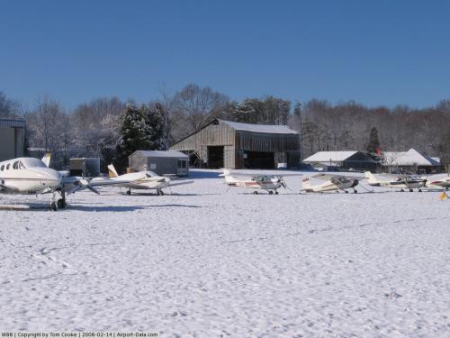 |
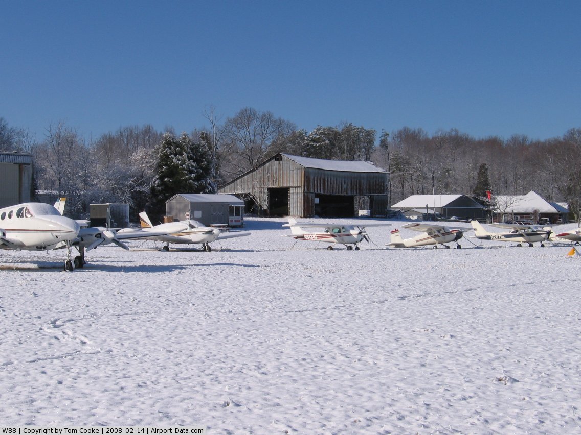
(Click on the photo to enlarge) |
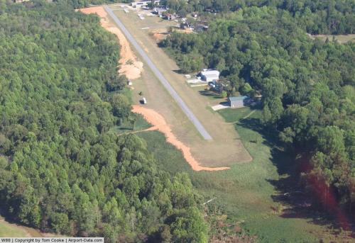 |
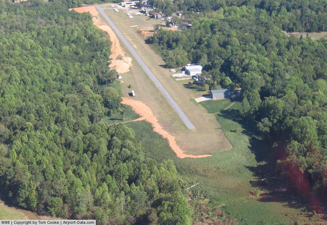
(Click on the photo to enlarge) |
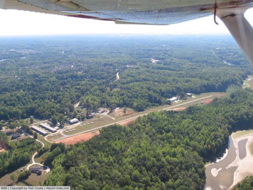 |
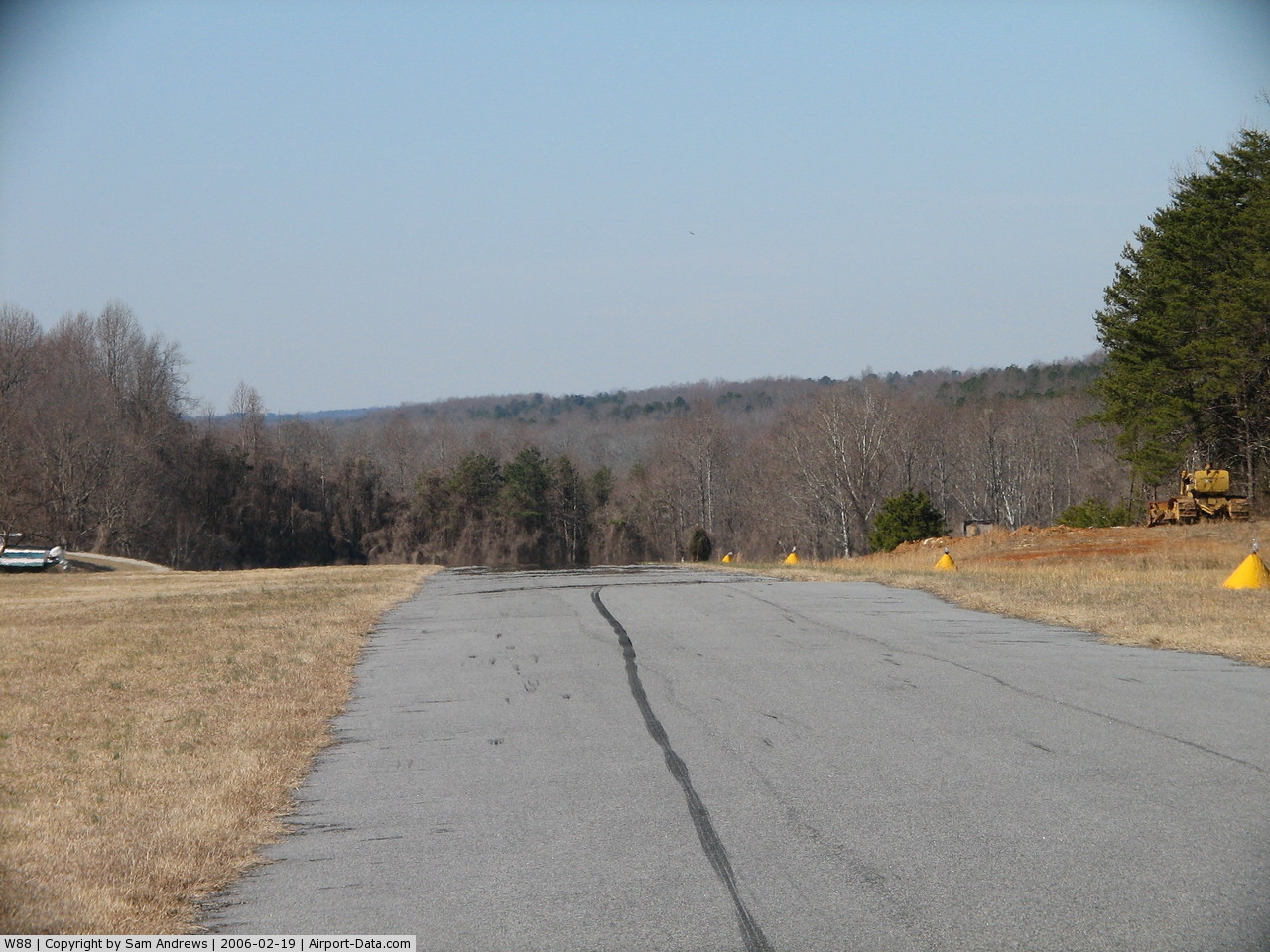
(Click on the photo to enlarge) |
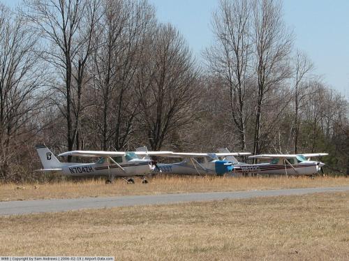 |
(Click on the photo to enlarge) |
 |
(Click on the photo to enlarge) |
Location & QuickFacts
| FAA Information Effective: | 2008-09-25 |
| Airport Identifier: | W88 |
| Airport Status: | Operational |
| Longitude/Latitude: | 079-48-11.0000W/36-10-25.0000N
-79.803056/36.173611 (Estimated) |
| Elevation: | 822 ft / 250.55 m (Estimated) |
| Land: | 36 acres |
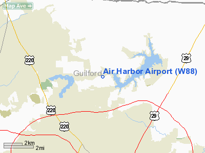
| From nearest city: | 6 nautical miles N of Greensboro, NC |
| Location: | Guilford County, NC |
| Magnetic Variation: | 06W (1985) |
Owner & Manager
| Ownership: | Privately owned |
| Owner: | Guilford Lake Aviation |
| Address: | 150 Airharbor Rd
Greensboro, NC 27459 |
| Phone number: | 336-288-4275 |
| Manager: | Ron Murphy |
| Address: | 150 Airharbor Road
Greensboro, NC 27459 |
| Phone number: | 336-288-4275 |
Airport Operations and Facilities
| Airport Use: | Open to public |
| Wind indicator: | Yes |
| Segmented Circle: | No |
| Control Tower: | No |
| Lighting Schedule: | DUSK-DAWN |
| Landing fee charge: | No |
| Sectional chart: | Cincinnati |
| Region: | ASO - Southern |
| Boundary ARTCC: | ZDC - Washington |
| Responsible ARTCC: | ZTL - Atlanta |
| Tie-in FSS: | RDU - Raleigh |
| FSS on Airport: | No |
| FSS Toll Free: | 1-800-WX-BRIEF |
| NOTAMs Facility: | RDU (NOTAM-d service avaliable) |
Airport Communications
| CTAF: | 122.800 |
| Unicom: | 122.800 |
Airport Services
| Fuel available: | 100LL |
| Airframe Repair: | MAJOR |
| Power Plant Repair: | MAJOR |
| Bottled Oxygen: | NONE |
| Bulk Oxygen: | NONE |
Runway Information
Runway 09/27
| Dimension: | 2460 x 65 ft / 749.8 x 19.8 m
N 25 FT WIDTH IS ASPH. S 40 FT WIDTH IS TURF. |
| Surface: | ASPH-TURF, Fair Condition |
| Edge Lights: | Non-standard lighting system
NSTD MIRL; EDGE LGTS VARY FROM 40-70 FEET FROM PAVEMENT S END; 8 FT FM PAVEMENT N END. |
| |
Runway 09 |
Runway 27 |
| Traffic Pattern: | Left | Left |
| Obstruction: | 13 ft tree, 66.0 ft from runway, 108 ft right of centerline, 5:1 slope to clear | 38 ft trees, 62.0 ft from runway, 120 ft left of centerline, 1:1 slope to clear |
|
Radio Navigation Aids
| ID |
Type |
Name |
Ch |
Freq |
Var |
Dist |
| OQA | FAN MARKER | Rockingham County | | | | 15.3 nm |
| SIF | NDB | Slammer | | 423.00 | 07W | 12.7 nm |
| HB | NDB | Himun | | 361.00 | 08W | 15.8 nm |
| UV | NDB | Bales | | 396.00 | 07W | 25.6 nm |
| CQJ | NDB | City Lake | | 266.00 | 08W | 27.7 nm |
| TOX | NDB | Siler City | | 371.00 | 07W | 29.8 nm |
| SEN | NDB | Swearing/dcmsnd | | 260.00 | 06W | 33.8 nm |
| DVZ | NDB | Davie | | 354.00 | 06W | 35.4 nm |
| HUR | NDB | Person | | 220.00 | 08W | 35.9 nm |
| AZW | NDB | Mount Airy | | 223.00 | 07W | 37.8 nm |
| RU | NDB | Rovdy | | 275.00 | 06W | 42.6 nm |
| VU | NDB | Aller | | 346.00 | 06W | 43.3 nm |
| ZEF | NDB | Zephyr | | 326.00 | 05W | 45.4 nm |
| DAN | VOR | Danville | | 113.10 | 06W | 32.8 nm |
| GSO | VORTAC | Greensboro | 109X | 116.20 | 03W | 11.4 nm |
| LIB | VORTAC | Liberty | 077X | 113.00 | 03W | 23.6 nm |
| SBV | VORTAC | South Boston | 041X | 110.40 | 05W | 48.6 nm |
Remarks
- RWY 09 TREES LCTD WITHIN 60' OF PAVED EDGE LEFT SIDE.
- RY 09 LNDG UPHILL.
- RY 09 HAS +60 FT DROPOFF 220 FT FROM THLD.
- RY 27 HAS 8 FT DROPOFF 10 FT FROM THLD; LEFT & RIGHT.
- GRAVEL ACCESS ROAD 60 FT FROM RWY 27 END.
- DEER ON & INVOF ARPT.
- EXISTED PRIOR TO FAA ACT.
Images and information placed above are from
http://www.airport-data.com/airport/W88/
We thank them for the data!
| General Info
|
| Country |
United States
|
| State |
NORTH CAROLINA
|
| FAA ID |
W88
|
| Latitude |
36-10-25.000N
|
| Longitude |
079-48-11.000W
|
| Elevation |
822 feet
|
| Near City |
GREENSBORO
|
We don't guarantee the information is fresh and accurate. The data may
be wrong or outdated.
For more up-to-date information please refer to other sources.
|
|