 |
|
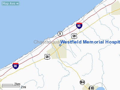
Westfield Memorial Hospital Heliport |
Location & QuickFacts
| FAA Information Effective: | 2008-09-25 |
| Airport Identifier: | 9NY2 |
| Airport Status: | Operational |
| Longitude/Latitude: | 079-34-14.1690W/42-19-46.2080N
-79.570602/42.329502 (Estimated) |
| Elevation: | 756 ft / 230.43 m (Estimated) |
| Land: | 0 acres |
| From nearest city: | 0 nautical miles N of Westfield, NY |
| Location: | Chautauqua County, NY |
| Magnetic Variation: | 09W (1985) |
Owner & Manager
| Ownership: | Privately owned |
| Owner: | Westfield Memorial Hospital |
| Address: | 189 East Main St
Westfield, NY 14787 |
| Phone number: | 716-326-4921 |
| Manager: | Barbara Malinowski |
| Address: | 189 East Main St
Westfield, NY 14787 |
| Phone number: | 716-326-4921 |
Airport Operations and Facilities
| Airport Use: | Private
MEDICAL USE. |
| Segmented Circle: | No |
| Control Tower: | No |
| Sectional chart: | Detroit |
| Region: | AEA - Eastern |
| Boundary ARTCC: | ZOB - Cleveland |
| Tie-in FSS: | BUF - Buffalo |
| FSS on Airport: | No |
| FSS Toll Free: | 1-800-WX-BRIEF |
Runway Information
Helipad H1
| Dimension: | 60 x 60 ft / 18.3 x 18.3 m |
| Surface: | ASPH, |
| |
Runway H1 |
Runway |
| Traffic Pattern: | Left | Left |
|
Radio Navigation Aids
| ID |
Type |
Name |
Ch |
Freq |
Var |
Dist |
| ORJ | NDB | Corry | | 258.00 | 09W | 25.3 nm |
| CQD | NDB | Cascade | | 372.00 | 08W | 26.9 nm |
| JHW | VOR/DME | Jamestown | 094X | 114.70 | 07W | 21.7 nm |
| DKK | VORTAC | Dunkirk | 109X | 116.20 | 07W | 16.3 nm |
| ERI | VORTAC | Erie | 031X | 109.40 | 06W | 37.2 nm |
| TDT | VORTAC | Tidioute | 123X | 117.60 | 09W | 37.7 nm |
Remarks
- PRVDD PLINES WEST OF PAD ARE REMOVED, BURIED, OR RELOCATED TO ENSURE CLEARANCES OF PART 77 SURFACES. PRIOR TO CONDUCTING OPNS EDIVENCE IN WRITING THAT ONE OF THE OPTIONS HAS BEEN COMPLIED WITH.
Images and information placed above are from
http://www.airport-data.com/airport/9NY2/
We thank them for the data!
| General Info
|
| Country |
United States
|
| State |
NEW YORK
|
| FAA ID |
9NY2
|
| Latitude |
42-19-46.208N
|
| Longitude |
079-34-14.169W
|
| Elevation |
756 feet
|
| Near City |
WESTFIELD
|
We don't guarantee the information is fresh and accurate. The data may
be wrong or outdated.
For more up-to-date information please refer to other sources.
|
|


