 |
|
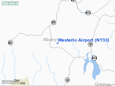
Location & QuickFacts
| FAA Information Effective: | 2008-09-25 |
| Airport Identifier: | NY33 |
| Airport Status: | Operational |
| Longitude/Latitude: | 074-01-43.4730W/42-31-20.2820N
-74.028742/42.522301 (Estimated) |
| Elevation: | 1400 ft / 426.72 m (Estimated) |
| Land: | 0 acres |
| From nearest city: | 1 nautical miles NE of Westerlo, NY |
| Location: | Albany County, NY |
| Magnetic Variation: | 14W (1985) |
Owner & Manager
| Ownership: | Privately owned |
| Owner: | C. B. Hannay & Son, Inc. |
| Address: |
Westerlo, NY 12193 |
| Phone number: | 518-797-3791 |
| Manager: | Roger A. Hannay |
| Address: |
Westerlo, NY 12193 |
| Phone number: | 518-797-3791 |
Airport Operations and Facilities
| Airport Use: | Private |
| Wind indicator: | Yes |
| Segmented Circle: | No |
| Control Tower: | No |
| Lighting Schedule: | PHONE REQ
FOR LIRL RY 03/21 CALL 518-797-3791 EMGCY ONLY. |
| Landing fee charge: | No |
| Sectional chart: | New York |
| Region: | AEA - Eastern |
| Boundary ARTCC: | ZBW - Boston |
| Tie-in FSS: | BTV - Burlington |
| FSS on Airport: | No |
| FSS Toll Free: | 1-800-WX-BRIEF |
Airport Communications
Airport Services
| Airframe Repair: | NONE |
| Power Plant Repair: | NONE |
Runway Information
Runway 03/21
| Dimension: | 3025 x 50 ft / 922.0 x 15.2 m |
| Surface: | ASPH, |
| Edge Lights: | Low |
| |
Runway 03 |
Runway 21 |
| Traffic Pattern: | Left | Left |
|
Radio Navigation Aids
| ID |
Type |
Name |
Ch |
Freq |
Var |
Dist |
| PSF | FAN MARKER | Abyss | | | 13W | 36.4 nm |
| GBR | FAN MARKER | Sheffield | | | 13W | 37.9 nm |
| HEU | NDB | Hunter | | 356.00 | 14W | 20.3 nm |
| PFH | NDB | Philmont | | 272.00 | 13W | 21.1 nm |
| JJH | NDB | Johnstown | | 523.00 | 14W | 31.7 nm |
| GBR | NDB | Great Barrington | | 395.00 | 14W | 34.4 nm |
| DXT | NDB | Dalton | | 370.00 | 15W | 38.2 nm |
| CAM | VOR/DME | Cambridge | 097X | 115.00 | 14W | 41.4 nm |
| DNY | VOR/DME | De Lancey | 058X | 112.10 | 11W | 46.1 nm |
| PWL | VOR/DME | Pawling | 090X | 114.30 | 12W | 49.1 nm |
| CTR | VOR/DME | Chester | 098X | 115.10 | 13W | 49.9 nm |
| ALB | VORTAC | Albany | 100X | 115.30 | 13W | 16.8 nm |
| ALB | VOT | Albany County | | 108.20 | | 16.1 nm |
Remarks
- IN EXISTENCE PRIOR TO 1959
Images and information placed above are from
http://www.airport-data.com/airport/NY33/
We thank them for the data!
| General Info
|
| Country |
United States
|
| State |
NEW YORK
|
| FAA ID |
NY33
|
| Latitude |
42-31-20.282N
|
| Longitude |
074-01-43.473W
|
| Elevation |
1400 feet
|
| Near City |
WESTERLO
|
We don't guarantee the information is fresh and accurate. The data may
be wrong or outdated.
For more up-to-date information please refer to other sources.
|
|


