|
|
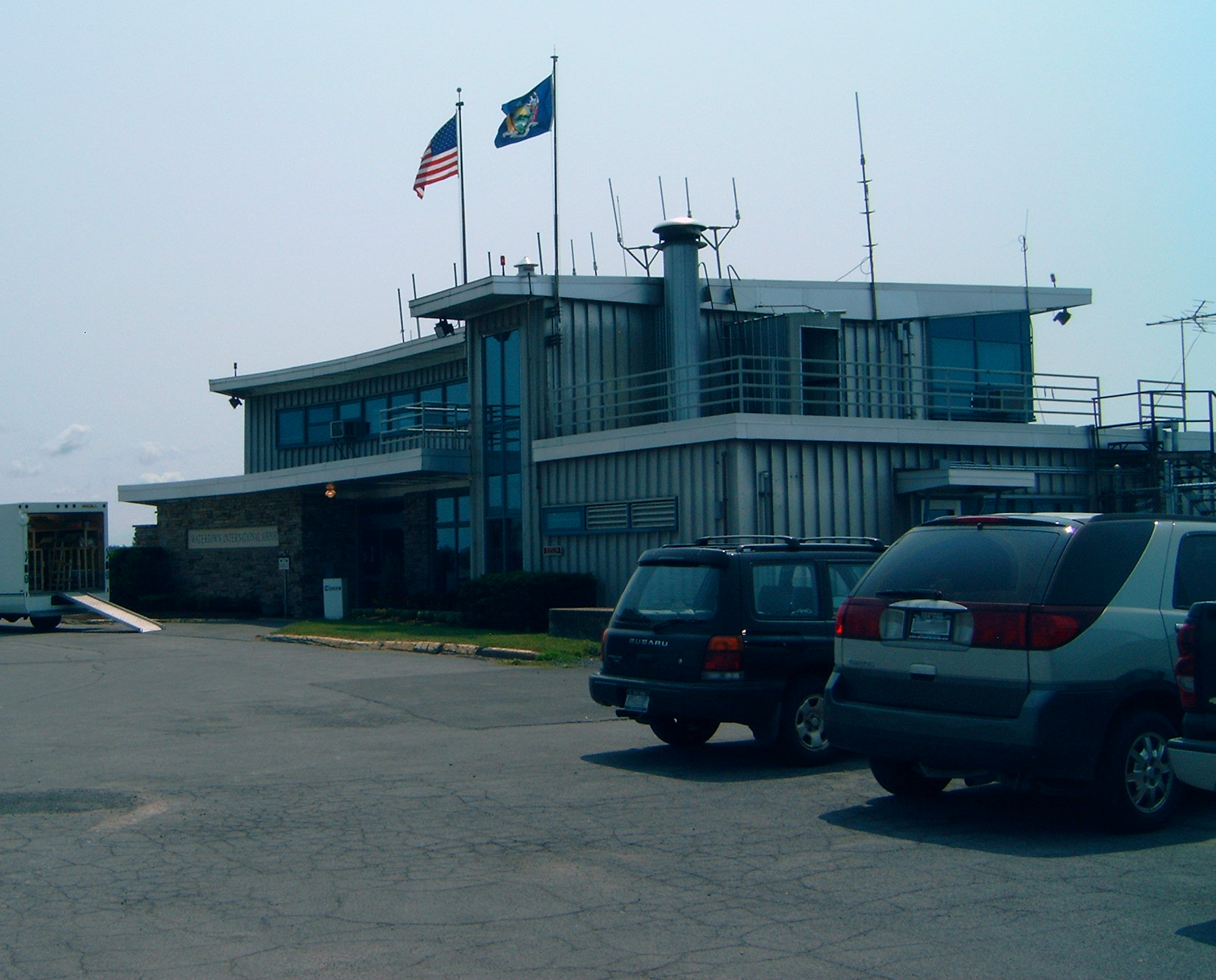
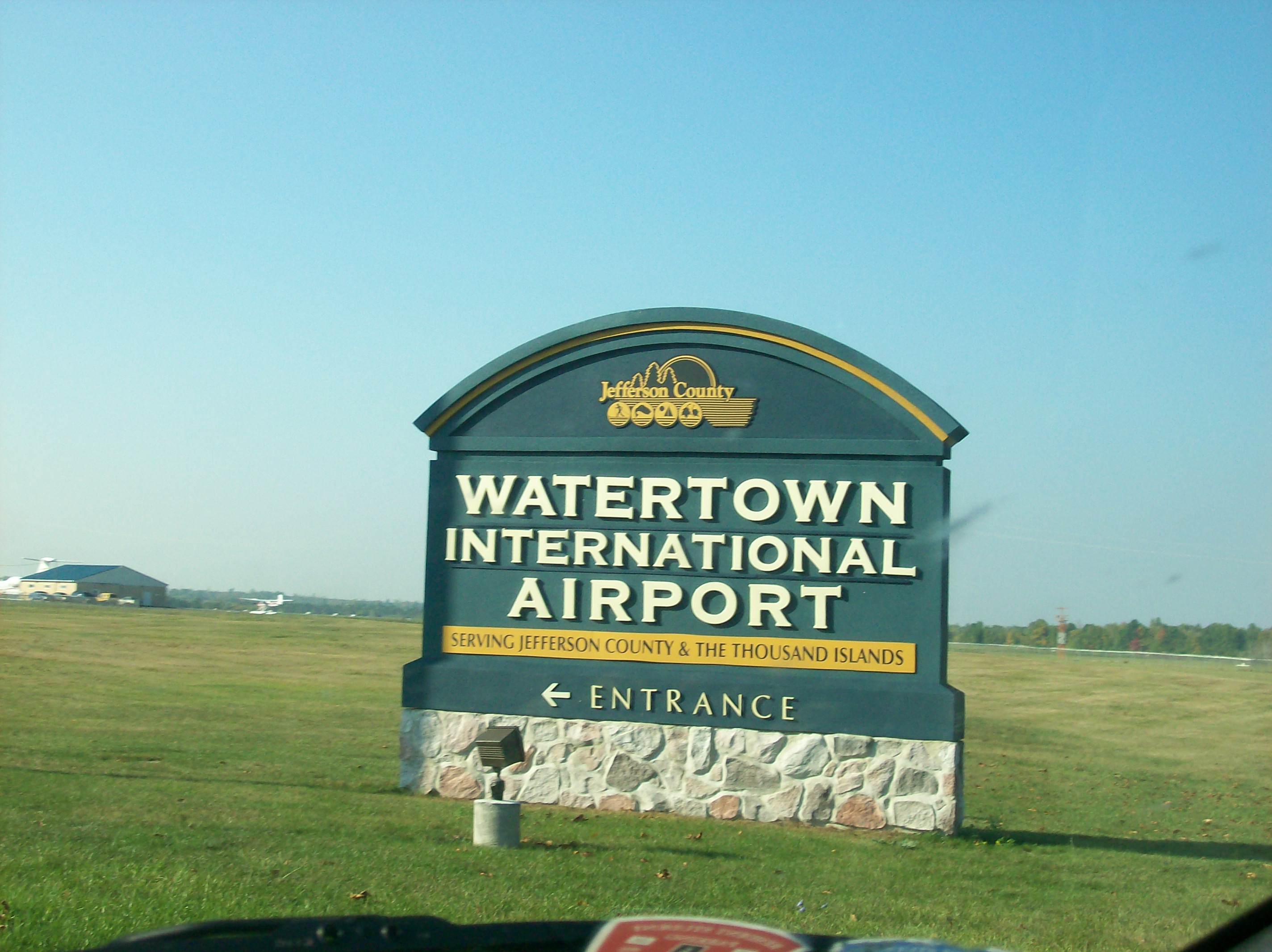
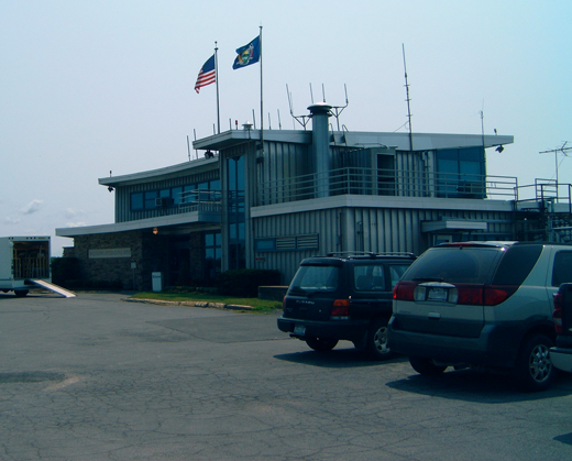
| Watertown International Airport |
 |
| IATA: ART – ICAO: KART |
| Summary |
| Airport type |
Public |
| Operator |
Jefferson County |
| Elevation AMSL |
325 ft / 99.1 m |
| Coordinates |
43°59′31″N 76°01′18″W / 43.99194°N 76.02167°W / 43.99194; -76.02167Coordinates: 43°59′31″N 76°01′18″W / 43.99194°N 76.02167°W / 43.99194; -76.02167 |
| Runways |
| Direction |
Length |
Surface |
| ft |
m |
| 7/25 |
5,000 |
1,524 |
Asphalt |
| 10/28 |
5,000 |
1,524 |
Asphalt |
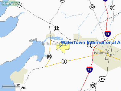
Watertown International Airport (IATA: ART, ICAO: KART) is a public airport located in the town of Hounsfield, five miles (8 km) west of the central business district (CBD) of Watertown, a city in Jefferson County, New York, USA. The airport covers 1,060 acres (4.3 km) and has two runways.
Watertown does not provide any scheduled international passenger flights, but is available as an international port of entry for private aircraft on two hours advance notice to customs from pilots.
As per Federal Aviation Administration records, the airport had 3,728 passenger boardings (enplanements) in calendar year 2004 and 4,612 enplanements in 2005. According to the FAA's National Plan of Integrated Airport Systems for 2007–2011, Watertown is classified as commercial service - non-primary because it has between 2,500 and 10,000 passenger boardings per year.
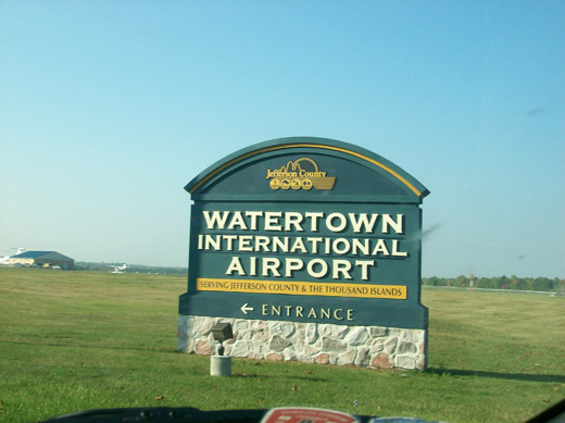 | |
Watertown International Airport sign |
Airlines & Destinations
| Airlines |
Destinations |
| Cape Air |
Albany |
Future Service
Recently, Delta Air Lines has announced interest in providing regional jet service at Watertown, as opposed to turboprop service, which is currently provided. However, a runway would have to be extended at least 2,000 ft (610 m) for this to occur. The proximity of Fort Drum is a leading factor in Delta's interest in the Watertown area.
If a major airline is committed to service in the airport, the FAA would fund 95 percent of the cost to extend a runway.
US Airways Fare Error
In 2005 US Airways posted a fare mistake on their website which allowed travelers to fly to Watertown for around $2. Hundreds of people took advantage of this flying on US Airways out of Pittsburgh. US Airways has since ended service to Watertown.
The above content comes from Wikipedia and is published under free licenses – click here to read more.
Location & QuickFacts
| FAA Information Effective: | 2008-09-25 |
| Airport Identifier: | ART |
| Airport Status: | Operational |
| Longitude/Latitude: | 076-01-18.2590W/43-59-30.9200N
-76.021739/43.991922 (Estimated) |
| Elevation: | 325 ft / 99.06 m (Surveyed) |
| Land: | 1060 acres |
| From nearest city: | 5 nautical miles W of Watertown, NY |
| Location: | Jefferson County, NY |
| Magnetic Variation: | 12W (1980) |
Owner & Manager
| Ownership: | Publicly owned |
| Owner: | County Of Jefferson |
| Address: | 175 Arsenal St.
Watertown, NY 13601 |
| Phone number: | 315-785-3075 |
| Manager: | James L. Lawrence, Jr. |
| Address: | Bldg 22529 Airport Dr
Dexter, NY 13634-3062 |
| Phone number: | 315-639-3809 |
Airport Operations and Facilities
| Airport Use: | Open to public |
| Wind indicator: | Yes |
| Segmented Circle: | Yes |
| Control Tower: | No |
| Lighting Schedule: | DUSK-DAWN
ACTVT HIRL RY 07/25; MIRL RY 10/28; MALSR RYS 07; PAPI RY 10 & RY 28; REIL RY 28 & TWY LGTS - CTAF. |
| Beacon Color: | Clear-Green (lighted land airport) |
| Landing fee charge: | No
LANDING FEE FOR ACFT OVER 6000 LBS GWT. |
| Sectional chart: | New York |
| Region: | AEA - Eastern |
| Boundary ARTCC: | ZBW - Boston |
| Tie-in FSS: | BTV - Burlington |
| FSS Toll Free: | 1-800-WX-BRIEF |
| NOTAMs Facility: | ART (NOTAM-d service avaliable) |
| Certification type/date: | II A S 07/197
PPR 2 HRS FOR ACR OPNS WITH MORE THAN 30 PSGR SEATS CALL ASST MGR 315-639-3809 OR AFTER 1630 CALL 315-232-3896. |
| Federal Agreements: | NGY3 |
Airport Communications
| CTAF: | 123.000 |
| Unicom: | 123.000 |
Airport Services
| Fuel available: | 100LLA |
| Airframe Repair: | MAJOR |
| Power Plant Repair: | MAJOR |
| Bottled Oxygen: | NONE |
| Bulk Oxygen: | NONE |
Runway Information
Runway 07/25
| Dimension: | 5000 x 150 ft / 1524.0 x 45.7 m |
| Surface: | ASPH, Good Condition |
| Surface Treatment: | Saw-cut or plastic Grooved |
| Weight Limit: | Single wheel: 25000 lbs.
Dual wheel: 44000 lbs.
Dual tandem wheel: 90000 lbs. |
| Edge Lights: | High |
| |
Runway 07 |
Runway 25 |
| Longitude: | 076-01-47.7940W | 076-00-52.8510W |
| Latitude: | 43-59-16.2430N | 43-59-45.6420N |
| Elevation: | 310.00 ft | 324.00 ft |
| Alignment: | 53 | 127 |
| ILS Type: | ILS
| |
| Traffic Pattern: | Left | Left |
| Markings: | Precision instrument, Good Condition | Non-precision instrument, Good Condition |
| Crossing Height: | 46.00 ft | 54.00 ft |
| VASI: | 4-light PAPI on left side | 4-light PAPI on left side |
| Visual Glide Angle: | 3.00° | 3.00° |
| Approach lights: | MALSR | |
| Obstruction: | 60 ft trees, 2596.0 ft from runway, 398 ft left of centerline, 40:1 slope to clear | 50 ft trees, 875.0 ft from runway, 525 ft left of centerline, 13:1 slope to clear |
|
Runway 10/28
| Dimension: | 5000 x 150 ft / 1524.0 x 45.7 m |
| Surface: | ASPH, Good Condition |
| Surface Treatment: | Saw-cut or plastic Grooved |
| Weight Limit: | Single wheel: 25000 lbs.
Dual wheel: 44000 lbs.
Dual tandem wheel: 90000 lbs. |
| Edge Lights: | Medium |
| |
Runway 10 |
Runway 28 |
| Longitude: | 076-01-50.3490W | 076-00-42.0410W |
| Latitude: | 43-59-32.1740N | 43-59-29.6170N |
| Elevation: | 309.00 ft | 325.00 ft |
| Alignment: | 93 | 127 |
| Traffic Pattern: | Left | Left |
| Markings: | Non-precision instrument, Good Condition | Non-precision instrument, Good Condition |
| Crossing Height: | 46.00 ft | 47.00 ft |
| VASI: | 4-light PAPI on left side | 4-light PAPI on left side |
| Visual Glide Angle: | 3.00° | 3.00° |
| Runway End Identifier: | | Yes |
| Obstruction: | 31 ft trees, 775.0 ft from runway, 125 ft right of centerline, 18:1 slope to clear | 53 ft trees, 1902.0 ft from runway, 118 ft left of centerline, 32:1 slope to clear |
|
Radio Navigation Aids
| ID |
Type |
Name |
Ch |
Freq |
Var |
Dist |
| GTB | NDB | Drum | | 257.00 | 13W | 13.2 nm |
| ART | VORTAC | Watertown | 035X | 109.80 | 12W | 3.0 nm |
Remarks
- DEER & BIRDS ON & INVOF OF ARPT.
- FOR FUEL AND SERVICE CALL 315-639-3783 OR AFTER HOURS CALL 315-629-3765 OR 315-646-1627.
- TWY "C" CLOSED OCTOBER TO APRIL.
- FILED FOR RECORD PURPOSES ONLY.
Images and information placed above are from
http://www.airport-data.com/airport/ART/
We thank them for the data!
| General Info
|
| Country |
United States
|
| State |
NEW YORK
|
| FAA ID |
ART
|
| Latitude |
43-59-30.920N
|
| Longitude |
076-01-18.259W
|
| Elevation |
325 feet
|
| Near City |
WATERTOWN
|
We don't guarantee the information is fresh and accurate. The data may
be wrong or outdated.
For more up-to-date information please refer to other sources.
|
|