 |
|
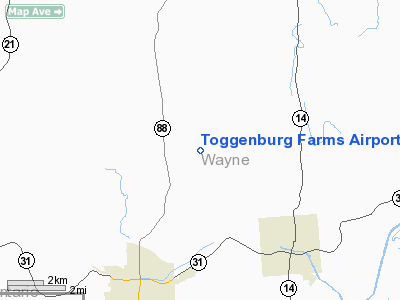
Location & QuickFacts
| FAA Information Effective: | 2008-09-25 |
| Airport Identifier: | 5NK1 |
| Airport Status: | Operational |
| Longitude/Latitude: | 077-03-13.8900W/43-06-40.2300N
-77.053858/43.111175 (Estimated) |
| Elevation: | 435 ft / 132.59 m (Estimated) |
| Land: | 165 acres |
| From nearest city: | 5 nautical miles NE of Newark, NY |
| Location: | Wayne County, NY |
| Magnetic Variation: | 12W (1995) |
Owner & Manager
| Ownership: | Privately owned |
| Owner: | Joseph Eicher |
| Address: | 6965 Coleman Hill Rd
Newark, NY 14513 |
| Manager: | Joseph Eicher |
| Address: | 6965 Coleman Hill Rd
Newark, NY 14513 |
| Phone number: | 315-331-2538 |
Airport Operations and Facilities
| Airport Use: | Private |
| Wind indicator: | Yes |
| Segmented Circle: | No |
| Control Tower: | No |
| Sectional chart: | Detroit |
| Region: | AEA - Eastern |
| Boundary ARTCC: | ZOB - Cleveland |
| Tie-in FSS: | BUF - Buffalo |
| FSS Toll Free: | 1-800-WX-BRIEF |
Runway Information
Runway 01/19
| Dimension: | 2000 x 70 ft / 609.6 x 21.3 m |
| Surface: | TURF, |
| |
Runway 01 |
Runway 19 |
| Traffic Pattern: | Left | Left |
| Markings: | Nonstandard,
RY 01/19 EDGE MARKED WITH TFC CONES. | Nonstandard, |
| Obstruction: | 25 ft pline, 800.0 ft from runway | 40 ft trees, 225.0 ft from runway |
|
Radio Navigation Aids
| ID |
Type |
Name |
Ch |
Freq |
Var |
Dist |
| PYA | NDB | Penn Yan | | 260.00 | 12W | 28.1 nm |
| AVN | NDB | Avon | | 344.00 | 09W | 32.0 nm |
| GEE | VOR/DME | Geneseo | 019X | 108.20 | 09W | 34.2 nm |
| ITH | VOR/DME | Ithaca | 055X | 111.80 | 10W | 45.4 nm |
| ROC | VORTAC | Rochester | 037X | 110.00 | 09W | 27.2 nm |
| SYR | VORTAC | Syracuse | 117X | 117.00 | 11W | 37.4 nm |
Remarks
- PRVDD DAY/VFR OPNS ONLY, NO ACFT OVER 5000 LBS MGW, 20:1 APCH SLOPE,TWY MKD & SIGNED.
Images and information placed above are from
http://www.airport-data.com/airport/5NK1/
We thank them for the data!
| General Info
|
| Country |
United States
|
| State |
NEW YORK
|
| FAA ID |
5NK1
|
| Latitude |
43-06-40.230N
|
| Longitude |
077-03-13.890W
|
| Elevation |
435 feet
|
| Near City |
NEWARK
|
We don't guarantee the information is fresh and accurate. The data may
be wrong or outdated.
For more up-to-date information please refer to other sources.
|
|


