|
|
Sullivan County Intl Airport |
| Sullivan County International Airport |
| IATA: MSV – ICAO: KMSV – FAA LID: MSV |
| Summary |
| Airport type |
Public |
| Owner |
Sullivan County Division of Public Works |
| Serves |
Monticello, New York |
| Location |
Bethel, New York |
| Elevation AMSL |
1,403 ft / 428 m |
| Coordinates |
41°42′06″N 074°47′42″W / 41.70167°N 74.795°W / 41.70167; -74.795 |
| Runways |
| Direction |
Length |
Surface |
| ft |
m |
| 15/33 |
6,300 |
1,920 |
Asphalt |
| Statistics (2008) |
| Aircraft operations |
35,700 |
| Based aircraft |
46 |
| Source: Federal Aviation Administration |
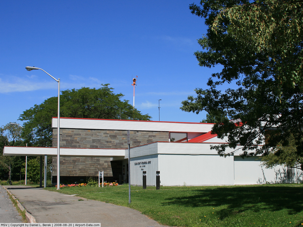
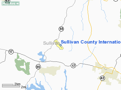
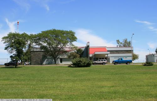
Sullivan County International Airport (IATA: MSV, ICAO: KMSV, FAA LID: MSV) is a public airport located in the town of Bethel, six miles (10 km) northwest of the central business district of the village of Monticello, in Sullivan County, New York, United States. It is owned by the Sullivan County Division of Public Works.
Originally built in the 1960s, the airport is now a Part 139 certified airport capable of handling small general aviation aircraft as well as larger business jets.
Facilities and aircraft
Sullivan County International Airport covers an area of 600 acres (243 ha) at an elevation of 1,403 feet (428 m) above mean sea level. It has one asphalt paved runway designated 15/33 which measures 6,300 by 150 feet (1,920 x 46 m).
For the 12-month period ending November 30, 2008, the airport had 35,700 aircraft operations, an average of 97 per day: 98% general aviation and 2% air taxi, At that time there were 46 aircraft based at this airport: 87% single-engine, 4% multi-engine, 7% jet and 2% helicopter.
The above content comes from Wikipedia and is published under free licenses – click here to read more.
 |
(Click on the photo to enlarge) |
 |
(Click on the photo to enlarge) |
Location & QuickFacts
| FAA Information Effective: | 2008-09-25 |
| Airport Identifier: | MSV |
| Airport Status: | Operational |
| Longitude/Latitude: | 074-47-42.0500W/41-42-05.9370N
-74.795014/41.701649 (Estimated) |
| Elevation: | 1403 ft / 427.63 m (Surveyed) |
| Land: | 600 acres |
| From nearest city: | 6 nautical miles NW of Monticello, NY |
| Location: | Sullivan County, NY |
| Magnetic Variation: | 12W (1980) |
Owner & Manager
| Ownership: | Publicly owned |
| Owner: | Sullivan County Dpw |
| Address: | 100 North St
Monticello, NY 12701 |
| Phone number: | 845-794-3000 |
| Manager: | Michael S. Mullen |
| Address: | 100 North St
Monticello, NY 12701 |
| Phone number: | 845-583-6600 |
Airport Operations and Facilities
| Airport Use: | Open to public |
| Wind indicator: | Yes |
| Segmented Circle: | No |
| Control Tower: | No |
| Lighting Schedule: | DUSK-DAWN
ACTVT HIRL RY 15/33, REIL RYS 15 & 33 & TWY LGTS - CTAF. PAPI RY 15/33 OPERATE CONTINUOUSLY. |
| Beacon Color: | Clear-Green (lighted land airport) |
| Landing fee charge: | Yes
LANDING FEE FOR ACFT OVER 8000 LBS & ALL COML ACFT REGARDLESS OF WEIGHT. |
| Sectional chart: | New York |
| Region: | AEA - Eastern |
| Boundary ARTCC: | ZBW - Boston |
| Responsible ARTCC: | ZNY - New York |
| Tie-in FSS: | ISP - New York |
| FSS on Airport: | No |
| FSS Toll Free: | 1-800-WX-BRIEF |
| NOTAMs Facility: | MSV (NOTAM-d service avaliable) |
| Certification type/date: | IV A U 12/197
PPR 24 HOURS FOR ACR OPNS WITH MORE THAN 30 PSGR SEATS CALL AMGR (845) 583-6600. |
| Federal Agreements: | NGY |
Airport Communications
| CTAF: | 122.800 |
| Unicom: | 122.800 |
Airport Services
| Fuel available: | 100LLA
JETA FUEL AVAILABLE 0800-1700; AFTER HOURS CALL (845) 292-5811. |
| Airframe Repair: | MAJOR |
| Power Plant Repair: | MINOR |
| Bottled Oxygen: | NONE |
| Bulk Oxygen: | NONE |
Runway Information
Runway 15/33
| Dimension: | 6300 x 150 ft / 1920.2 x 45.7 m |
| Surface: | ASPH, Good Condition |
| Surface Treatment: | Saw-cut or plastic Grooved |
| Weight Limit: | Single wheel: 36000 lbs.
Dual wheel: 49000 lbs.
Dual tandem wheel: 74500 lbs. |
| Edge Lights: | High |
| |
Runway 15 |
Runway 33 |
| Longitude: | 074-48-07.0790W | 074-47-17.0260W |
| Latitude: | 41-42-30.7650N | 41-41-41.1070N |
| Elevation: | 1403.00 ft | 1380.00 ft |
| Alignment: | 127 | 127 |
| ILS Type: | ILS
| |
| Traffic Pattern: | Left | Left |
| Markings: | Precision instrument, Fair Condition
RY MKGS 15/33 APPEAR WORN & DISCOLORED DURG DLGT OPNS. | Non-precision instrument, Fair Condition
RUNWAY MARKINGS WORN OFF IN NUMEROUS LOCATIONS AND ARE ALSO DISCOLORING. |
| Crossing Height: | 39.00 ft | 39.00 ft |
| Displaced threshold: | 300.00 ft | 300.00 ft |
| VASI: | 4-light PAPI on left side | 4-light PAPI on left side |
| Visual Glide Angle: | 3.00° | 3.00° |
| Runway End Identifier: | Yes | Yes |
| Obstruction: | 62 ft trees, 2050.0 ft from runway, 750 ft left of centerline, 29:1 slope to clear
+8 FT GROUND AER 320 FT LEFT. | 19 ft trees, 520.0 ft from runway, 500 ft left of centerline, 16:1 slope to clear |
| Decleard distances: | Take off run available 6300.00 ft
Take off distance available 6300.00 ft
Actual stop distance available 6000.00 ft
Landing distance available 5700.00 ft
| Take off run available 6300.00 ft
Take off distance available 6300.00 ft
Actual stop distance available 6000.00 ft
Landing distance available 5700.00 ft
|
|
Radio Navigation Aids
| ID |
Type |
Name |
Ch |
Freq |
Var |
Dist |
| SKU | FAN MARKER | Stanwyck | | | 12W | 35.3 nm |
| MS | NDB | Monga | | 359.00 | 12W | 4.9 nm |
| SW | NDB | Neely | | 335.00 | 14W | 28.6 nm |
| SKU | NDB | Stanwyck | | 261.00 | 12W | 35.3 nm |
| PO | NDB | Meier | | 403.00 | 12W | 38.1 nm |
| HUO | VOR/DME | Huguenot | 108X | 116.10 | 11W | 19.8 nm |
| DNY | VOR/DME | De Lancey | 058X | 112.10 | 11W | 29.5 nm |
| HNK | VOR/DME | Hancock | 115X | 116.80 | 11W | 31.9 nm |
| STW | VOR/DME | Stillwater | 033X | 109.60 | 11W | 42.6 nm |
| IGN | VOR/DME | Kingston | 123X | 117.60 | 12W | 43.7 nm |
| LHY | VORTAC | Lake Henry | 045X | 110.80 | 10W | 33.8 nm |
| SAX | VORTAC | Sparta | 104X | 115.70 | 11W | 39.8 nm |
| LVZ | VORTAC | Wilkes-barre | 053X | 111.60 | 10W | 47.8 nm |
Remarks
- BIRDS, COYOTE & DEER ON & INVOF ARPT.
Images and information placed above are from
http://www.airport-data.com/airport/MSV/
We thank them for the data!
| General Info
|
| Country |
United States
|
| State |
NEW YORK
|
| FAA ID |
MSV
|
| Latitude |
41-42-05.937N
|
| Longitude |
074-47-42.050W
|
| Elevation |
1403 feet
|
| Near City |
MONTICELLO
|
We don't guarantee the information is fresh and accurate. The data may
be wrong or outdated.
For more up-to-date information please refer to other sources.
|
|