|
|
 |
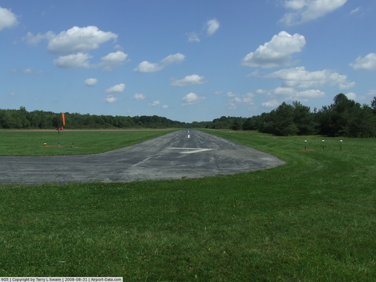
(Click on the photo to enlarge) |
 |
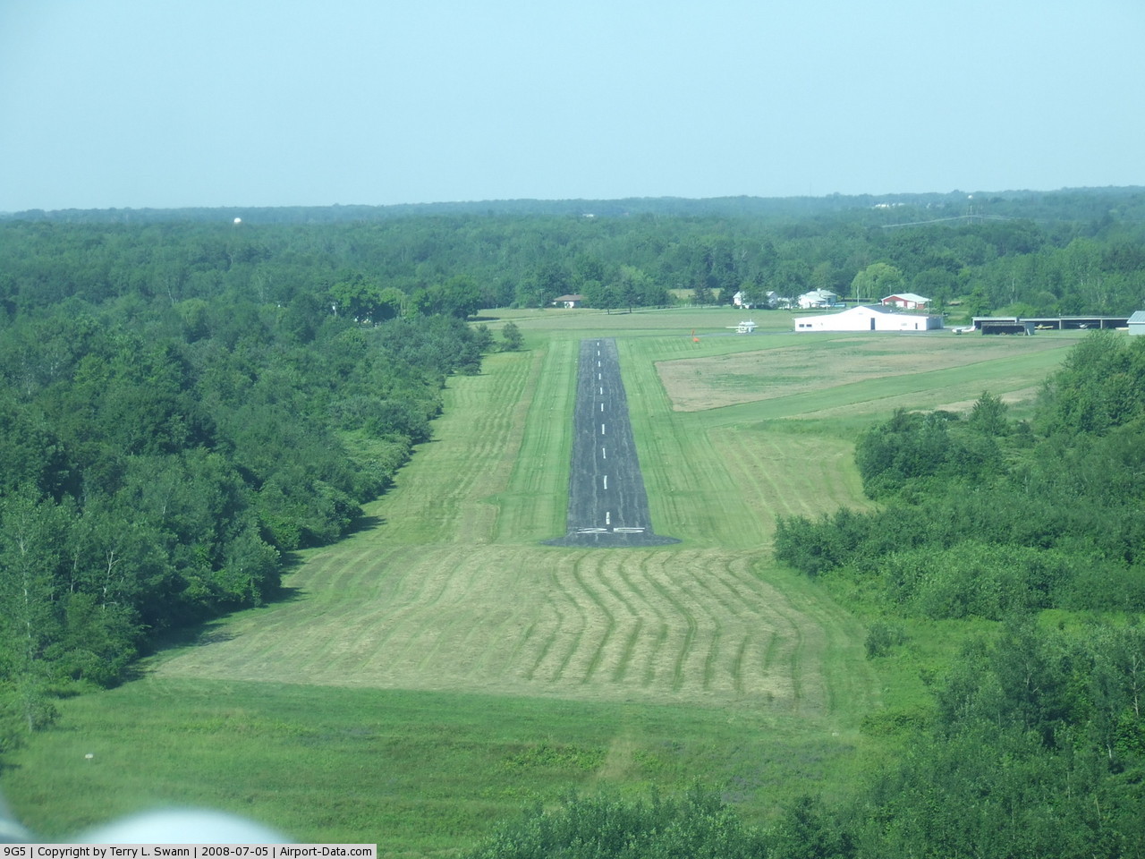
(Click on the photo to enlarge) |
 |
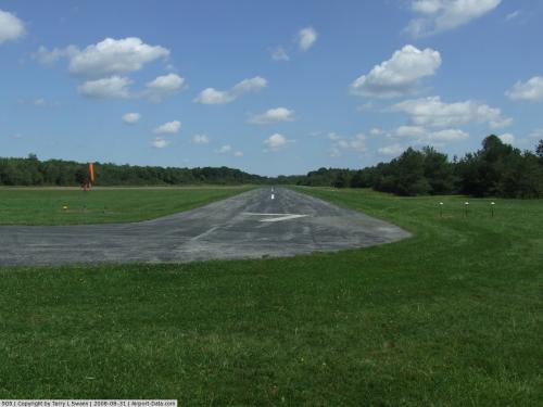
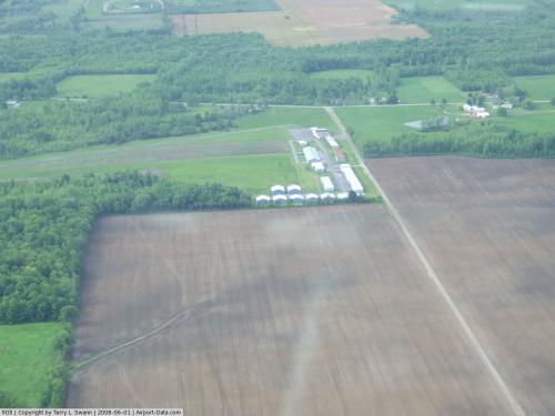
(Click on the photo to enlarge) |
Location & QuickFacts
| FAA Information Effective: | 2008-09-25 |
| Airport Identifier: | 9G5 |
| Airport Status: | Operational |
| Longitude/Latitude: | 078-33-28.0990W/43-10-55.2080N
-78.557805/43.182002 (Estimated) |
| Elevation: | 628 ft / 191.41 m (Estimated) |
| Land: | 104 acres |
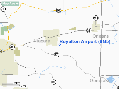
| From nearest city: | 1 nautical miles SE of Gasport, NY |
| Location: | Niagara County, NY |
| Magnetic Variation: | 10W (1985) |
Owner & Manager
| Ownership: | Privately owned |
| Owner: | Tanger-aire Inc. |
| Address: | Dale & Mackey Rds, Rd 2
Gasport, NY 14067 |
| Phone number: | 716-772-2062 |
| Manager: | Brian Poliner |
| Address: | Rd 2
Gasport, NY 14067 |
| Phone number: | 716-491-3320 |
Airport Operations and Facilities
| Airport Use: | Open to public |
| Wind indicator: | Yes |
| Segmented Circle: | No |
| Control Tower: | No |
| Lighting Schedule: | PHONE REQ
FOR RWY LGTS 07/25 CALL 716-772-2062. |
| Landing fee charge: | No |
| Sectional chart: | Detroit |
| Region: | AEA - Eastern |
| Boundary ARTCC: | ZOB - Cleveland |
| Tie-in FSS: | BUF - Buffalo |
| FSS on Airport: | No |
| FSS Toll Free: | 1-800-WX-BRIEF |
| NOTAMs Facility: | BUF (NOTAM-d service avaliable) |
| Federal Agreements: | N |
Airport Communications
| CTAF: | 122.800 |
| Unicom: | 122.800 |
Airport Services
| Fuel available: | 100 |
| Airframe Repair: | MAJOR |
| Power Plant Repair: | MAJOR |
| Bottled Oxygen: | NONE |
| Bulk Oxygen: | NONE |
Runway Information
Runway 07/25
| Dimension: | 2530 x 35 ft / 771.1 x 10.7 m |
| Surface: | ASPH, Fair Condition |
| Edge Lights: | Low |
| |
Runway 07 |
Runway 25 |
| Traffic Pattern: | Left | Left |
| Markings: | Nonstandard, Good Condition | Nonstandard, Good Condition |
| Displaced threshold: | 0.00 ft | 300.00 ft |
| Runway End Identifier: | No | No |
| Centerline Lights: | No | No |
| Touchdown Lights: | No | No |
| Obstruction: | 24 ft pole, 234.0 ft from runway, 2:1 slope to clear | 72 ft tree, 433.0 ft from runway, 124 ft left of centerline, 3:1 slope to clear
50' TREE 134' 91' R; 11:1 BASED ON DSPLCD THR. |
|
Radio Navigation Aids
| ID |
Type |
Name |
Ch |
Freq |
Var |
Dist |
| SN | NDB | St Catherines | | 408.00 | 01E | 30.6 nm |
| AVN | NDB | Avon | | 344.00 | 09W | 36.1 nm |
| TZ | NDB | Gibraltar Point | | 257.00 | 10W | 44.5 nm |
| OO | NDB | Oshawa | | 391.00 | 10W | 46.8 nm |
| IAG | TACAN | Niagara Falls | 047X | | 10W | 18.1 nm |
| BUF | VOR/DME | Buffalo | 111X | 116.40 | 08W | 15.7 nm |
| GEE | VOR/DME | Geneseo | 019X | 108.20 | 09W | 41.9 nm |
| ROC | VORTAC | Rochester | 037X | 110.00 | 09W | 38.9 nm |
| BUF | VOT | Buffalo | | 109.00 | | 16.5 nm |
Remarks
- ULTRA LGTS ON & INVOF ARPT.
- RY 25 300 FT SAFETY AREAS.
- NON COMPLIANCE WITH FAR 157.
Images and information placed above are from
http://www.airport-data.com/airport/9G5/
We thank them for the data!
| General Info
|
| Country |
United States
|
| State |
NEW YORK
|
| FAA ID |
9G5
|
| Latitude |
43-10-55.208N
|
| Longitude |
078-33-28.099W
|
| Elevation |
628 feet
|
| Near City |
GASPORT
|
We don't guarantee the information is fresh and accurate. The data may
be wrong or outdated.
For more up-to-date information please refer to other sources.
|
|