|
|
 |
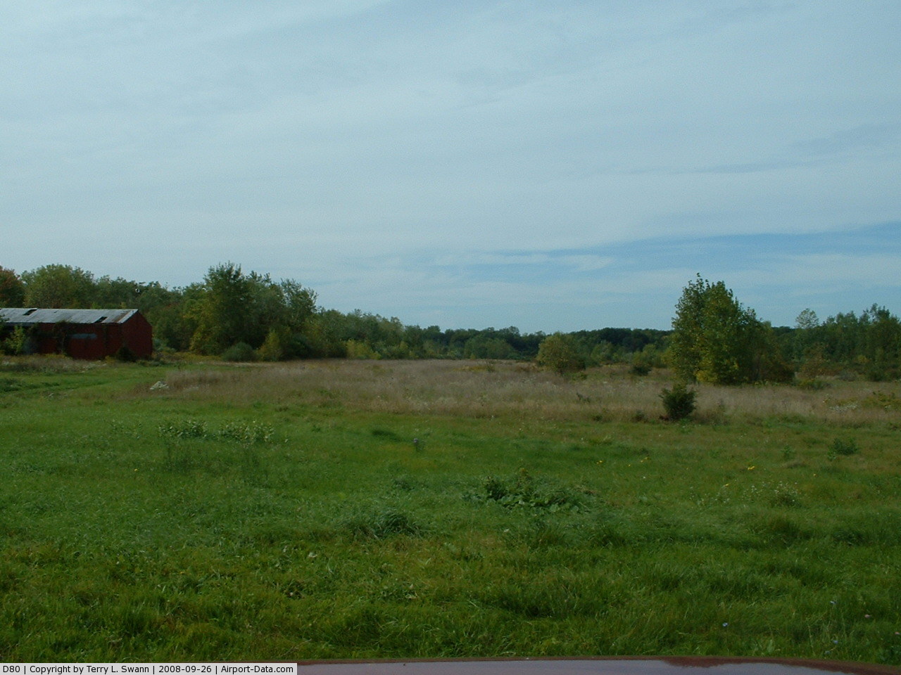
(Click on the photo to enlarge) |
 |
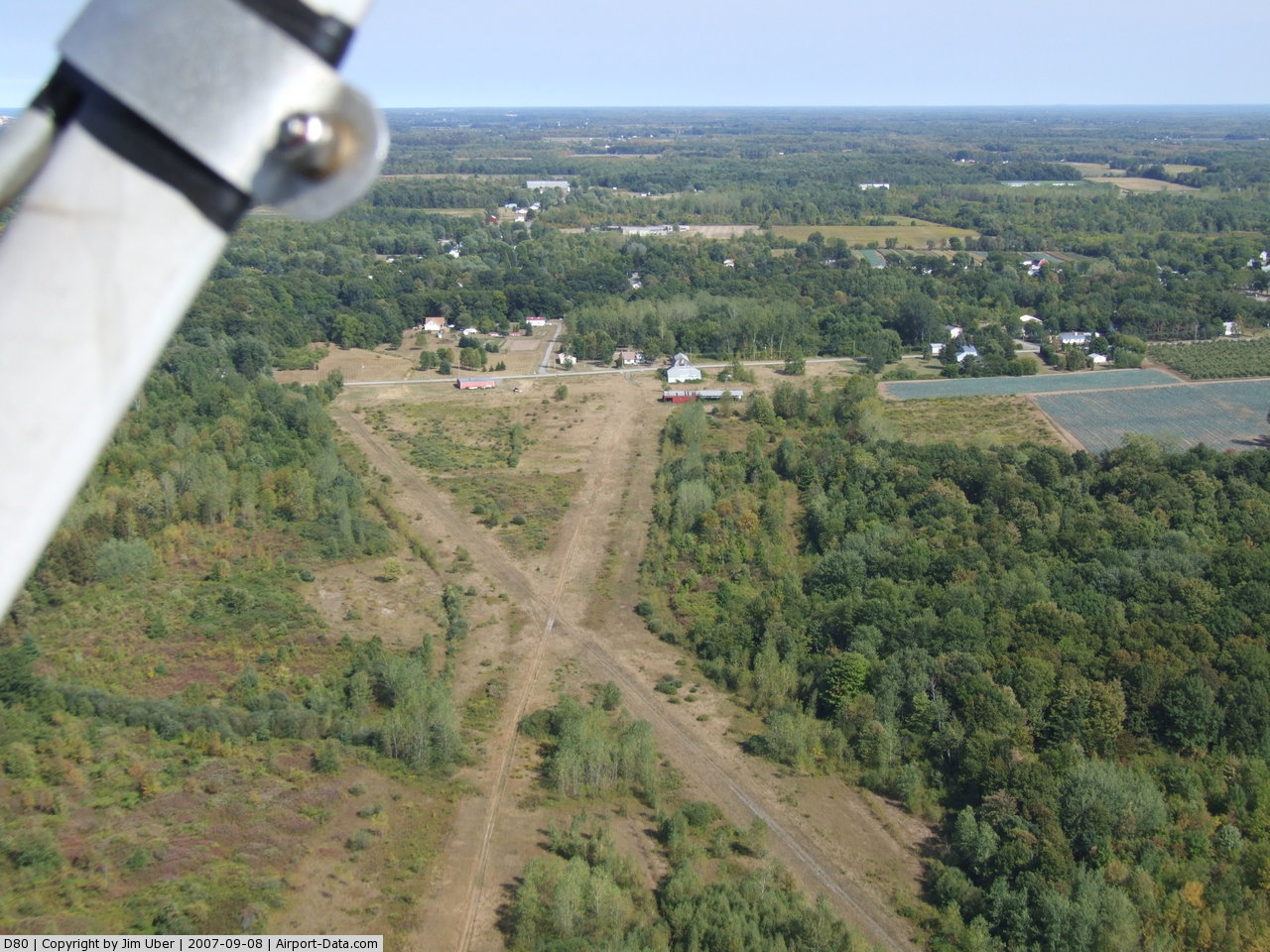
(Click on the photo to enlarge) |
 |
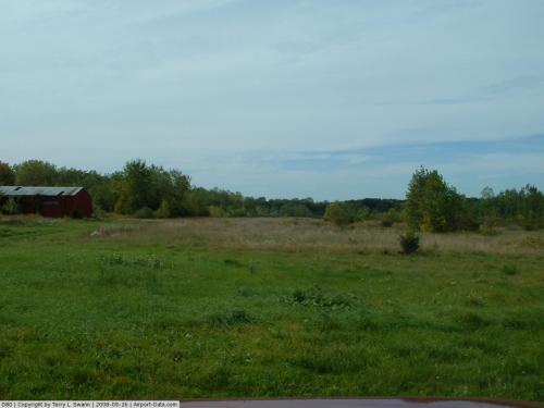
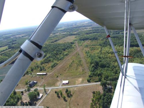
(Click on the photo to enlarge) |
Location & QuickFacts
| FAA Information Effective: | 2008-09-25 |
| Airport Identifier: | D80 |
| Airport Status: | Closed Indefinitely |
| Longitude/Latitude: | 078-43-44.1260W/43-19-15.2010N
-78.728924/43.320889 (Estimated) |
| Elevation: | 315 ft / 96.01 m (Estimated) |
| Land: | 60 acres |
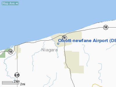
| From nearest city: | 2 nautical miles SW of Olcott, NY |
| Location: | Niagara County, NY |
| Magnetic Variation: | 10W (1985) |
Owner & Manager
| Ownership: | Privately owned |
| Owner: | Harold Hawley |
| Address: | 1800 Westcreek Road
Burt, NY 14028 |
| Phone number: | 716-778-5715 |
| Manager: | Harold Hawley |
| Address: | 1800 Westcreek Road
Burt, NY 14028 |
| Phone number: | 716-778-5715 |
Airport Operations and Facilities
| Airport Use: | Open to public |
| Wind indicator: | Yes |
| Segmented Circle: | No |
| Control Tower: | No |
| Lighting Schedule: | DUSK-DAWN
ACTVT LIRL RY 06/24 - CTAF. |
| Beacon Color: | Clear-Green (lighted land airport) |
| Landing fee charge: | No |
| Sectional chart: | Detroit |
| Region: | AEA - Eastern |
| Boundary ARTCC: | ZOB - Cleveland |
| Tie-in FSS: | BUF - Buffalo |
| FSS on Airport: | No |
| FSS Toll Free: | 1-800-WX-BRIEF |
| NOTAMs Facility: | BUF (NOTAM-d service avaliable) |
Airport Communications
| CTAF: | 122.700 |
| Unicom: | 122.700 |
Airport Services
| Fuel available: | 100LL80 MOGAS |
| Airframe Repair: | MAJOR |
| Power Plant Repair: | MAJOR |
| Bottled Oxygen: | NONE |
| Bulk Oxygen: | NONE |
Runway Information
Runway 06/24
| Dimension: | 2408 x 30 ft / 734.0 x 9.1 m |
| Surface: | TURF-GRVL, Fair Condition
HAS LOOSE AGGREGATE. |
| Edge Lights: | Low |
| |
Runway 06 |
Runway 24 |
| Traffic Pattern: | Left | Left |
| Obstruction: | 55 ft trees, 60 ft left of centerline | 15 ft brush, 0.0 ft from runway, 50 ft right of centerline |
|
Runway 09/27
| Dimension: | 2500 x 60 ft / 762.0 x 18.3 m |
| Surface: | TURF, Fair Condition
HAS LOOSE AGGREGATE. |
| |
Runway 09 |
Runway 27 |
| Traffic Pattern: | Left | Left |
| Obstruction: | 65 ft trees, 120 ft right of centerline | 20 ft bldg, 50.0 ft from runway, 70 ft left of centerline, 2:1 slope to clear |
|
Radio Navigation Aids
| ID |
Type |
Name |
Ch |
Freq |
Var |
Dist |
| SN | NDB | St Catherines | | 408.00 | 01E | 25.3 nm |
| TZ | NDB | Gibraltar Point | | 257.00 | 10W | 33.6 nm |
| OO | NDB | Oshawa | | 391.00 | 10W | 36.8 nm |
| L | NDB | Lima | | 368.00 | 10W | 40.0 nm |
| YZD | NDB | Downsview | | 356.00 | 09W | 41.8 nm |
| X | NDB | Xray | | 385.00 | 09W | 44.5 nm |
| KZ | NDB | Buttonville | | 248.00 | 09W | 45.2 nm |
| ZLB | NDB | Britannia | | 236.00 | 10W | 45.5 nm |
| J | NDB | Juliett | | 236.00 | 10W | 45.5 nm |
| AVN | NDB | Avon | | 344.00 | 09W | 46.0 nm |
| T | NDB | Tango | | 341.00 | 09W | 47.5 nm |
| R | NDB | Romeo | | 403.00 | 09W | 49.3 nm |
| IAG | TACAN | Niagara Falls | 047X | | 10W | 16.1 nm |
| BUF | VOR/DME | Buffalo | 111X | 116.40 | 08W | 23.8 nm |
| YYZ | VOR/DME | Toronto | 058Y | 112.15 | 10W | 44.3 nm |
| ROC | VORTAC | Rochester | 037X | 110.00 | 09W | 47.8 nm |
| BUF | VOT | Buffalo | | 109.00 | | 22.9 nm |
Remarks
- POWERLINE OFF END OF RYS 24 & 27; +35 FT HIGH AS CLOSE AS 250 FT FM RY END ON CNTRLN.
- DEER ON & INVOF ARPT.
- ULTRALIGHT ACTIVITIES ON ARPT.
- (ARPT STATUS) ARPT CLSD INDEFLY.
- EXISTED PRIOR TO 1959.
Images and information placed above are from
http://www.airport-data.com/airport/D80/
We thank them for the data!
| General Info
|
| Country |
United States
|
| State |
NEW YORK
|
| FAA ID |
D80
|
| Latitude |
43-19-15.201N
|
| Longitude |
078-43-44.126W
|
| Elevation |
315 feet
|
| Near City |
OLCOTT
|
We don't guarantee the information is fresh and accurate. The data may
be wrong or outdated.
For more up-to-date information please refer to other sources.
|
|