 |
|
Location & QuickFacts
| FAA Information Effective: | 2008-09-25 |
| Airport Identifier: | 07NY |
| Airport Status: | Operational |
| Longitude/Latitude: | 074-45-54.0000W/42-39-59.0000N
-74.765000/42.666389 (Estimated) |
| Elevation: | 1320 ft / 402.34 m () |
| Land: | 4 acres |
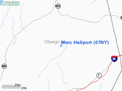
| From nearest city: | 3 nautical miles E of Monticello, NY |
| Location: | Sullivan County, NY |
| Magnetic Variation: | 14W (2000) |
Owner & Manager
| Ownership: | Privately owned |
| Owner: | New York Power Authority |
| Address: | P.o. Box 200
Gilboa, NY 12076 |
| Phone number: | 607-588-6061 |
| Manager: | James J Mccarthy |
| Address: | P.o. Box 200
Gilboa, NY 12076 |
| Phone number: | 607-588-6061 |
Airport Operations and Facilities
| Airport Use: | Private |
| Wind indicator: | Yes |
| Segmented Circle: | No |
| Control Tower: | No |
| Lighting Schedule: | PHONE REQ
FOR PERIMETER LGTS CALL 607-588-6061. |
| Sectional chart: | New York |
| Region: | AEA - Eastern |
| Boundary ARTCC: | ZBW - Boston |
| Tie-in FSS: | BUF - Buffalo |
| FSS Toll Free: | 1-800-WX-BRIEF |
Runway Information
Helipad H1
| Dimension: | 50 x 50 ft / 15.2 x 15.2 m |
| Surface: | ASPH, |
| |
Runway H1 |
Runway |
| Traffic Pattern: | Left | Left |
|
Radio Navigation Aids
| ID |
Type |
Name |
Ch |
Freq |
Var |
Dist |
| JJH | NDB | Johnstown | | 523.00 | 14W | 27.6 nm |
| CJY | NDB | Clay | | 275.00 | 12W | 32.0 nm |
| HEU | NDB | Hunter | | 356.00 | 14W | 38.3 nm |
| BK | NDB | Plein | | 329.00 | 12W | 46.0 nm |
| GSS | TACAN | Griffiss | 057X | | 12W | 44.3 nm |
| RKA | VOR/DME | Rockdale | 073X | 112.60 | 11W | 24.2 nm |
| DNY | VOR/DME | De Lancey | 058X | 112.10 | 11W | 30.6 nm |
| HNK | VOR/DME | Hancock | 115X | 116.80 | 11W | 43.8 nm |
| UCA | VORTAC | Utica | 049X | 111.20 | 12W | 27.9 nm |
| ALB | VORTAC | Albany | 100X | 115.30 | 13W | 42.8 nm |
| GGT | VORTAC | Georgetown | 125X | 117.80 | 11W | 47.5 nm |
| ALB | VOT | Albany County | | 108.20 | | 41.9 nm |
Remarks
- PRVDD ACCURATE INGRESS/EGREE ROUTE AND CLEAR 8:1 SLOPE, H1 MKD & WIND INDICATOR INSTALLED FOR NIGHT OPNS, TRAFFIC AROUND H1 CONTROLLED, NOTIFY ACTC IN AREA SINCE H1 IS LESS THAN 2 MILES FM SULLIVAN CITY ARPT.
Images and information placed above are from
http://www.airport-data.com/airport/07NY/
We thank them for the data!
| General Info
|
| Country |
United States
|
| State |
NEW YORK
|
| FAA ID |
07NY
|
| Latitude |
42-39-59.000N
|
| Longitude |
074-45-54.000W
|
| Elevation |
1320 feet
|
| Near City |
MONTICELLO
|
We don't guarantee the information is fresh and accurate. The data may
be wrong or outdated.
For more up-to-date information please refer to other sources.
|
|


