 |
|
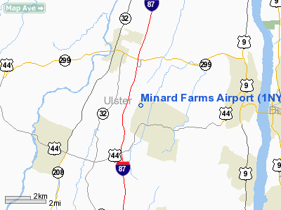
Location & QuickFacts
| FAA Information Effective: | 2008-09-25 |
| Airport Identifier: | 1NY7 |
| Airport Status: | Operational |
| Longitude/Latitude: | 074-03-42.5110W/41-42-30.3360N
-74.061809/41.708427 (Estimated) |
| Elevation: | 450 ft / 137.16 m (Estimated) |
| Land: | 3 acres |
| From nearest city: | 2 nautical miles NW of Clinton Dale, NY |
| Location: | Ulster County, NY |
| Magnetic Variation: | 13W (1985) |
Owner & Manager
| Ownership: | Privately owned |
| Owner: | Derrick & Deborah Doubrava |
| Address: | Po Box 317
Clintondale, NY 12515 |
| Phone number: | 845-883-7102 |
| Manager: | Derrick & Deborah Doubrava |
| Address: | Po Box 317
Clintondale, NY 12515 |
| Phone number: | 845-883-7102 |
Airport Operations and Facilities
| Airport Use: | Private |
| Wind indicator: | Yes |
| Segmented Circle: | Yes |
| Control Tower: | No |
| Sectional chart: | New York |
| Region: | AEA - Eastern |
| Boundary ARTCC: | ZBW - Boston |
| Tie-in FSS: | ISP - New York |
| FSS on Airport: | No |
| FSS Toll Free: | 1-800-WX-BRIEF |
Runway Information
Runway 04/22
| Dimension: | 2150 x 90 ft / 655.3 x 27.4 m |
| Surface: | TURF, |
| |
Runway 04 |
Runway 22 |
| Traffic Pattern: | Right | Left |
|
Radio Navigation Aids
| ID |
Type |
Name |
Ch |
Freq |
Var |
Dist |
| SKU | FAN MARKER | Stanwyck | | | 12W | 10.9 nm |
| GBR | FAN MARKER | Sheffield | | | 13W | 40.1 nm |
| PO | NDB | Meier | | 403.00 | 12W | 9.1 nm |
| SKU | NDB | Stanwyck | | 261.00 | 12W | 10.9 nm |
| SW | NDB | Neely | | 335.00 | 14W | 15.3 nm |
| MS | NDB | Monga | | 359.00 | 12W | 36.0 nm |
| PFH | NDB | Philmont | | 272.00 | 13W | 36.1 nm |
| GBR | NDB | Great Barrington | | 395.00 | 14W | 41.0 nm |
| TBY | NDB | Waterbury | | 257.00 | 14W | 42.6 nm |
| PNJ | NDB | Paterson | | 347.00 | 12W | 46.0 nm |
| IGN | VOR/DME | Kingston | 123X | 117.60 | 12W | 11.1 nm |
| PWL | VOR/DME | Pawling | 090X | 114.30 | 12W | 21.0 nm |
| HUO | VOR/DME | Huguenot | 108X | 116.10 | 11W | 29.8 nm |
| CMK | VOR/DME | Carmel | 113X | 116.60 | 12W | 33.6 nm |
| DNY | VOR/DME | De Lancey | 058X | 112.10 | 11W | 49.0 nm |
| SAX | VORTAC | Sparta | 104X | 115.70 | 11W | 44.1 nm |
Images and information placed above are from
http://www.airport-data.com/airport/1NY7/
We thank them for the data!
| General Info
|
| Country |
United States
|
| State |
NEW YORK
|
| FAA ID |
1NY7
|
| Latitude |
41-42-30.336N
|
| Longitude |
074-03-42.511W
|
| Elevation |
450 feet
|
| Near City |
CLINTON DALE
|
We don't guarantee the information is fresh and accurate. The data may
be wrong or outdated.
For more up-to-date information please refer to other sources.
|
|


