 |
|
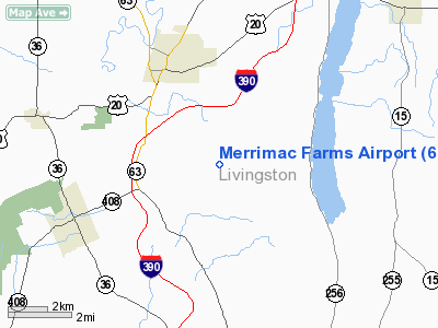
Location & QuickFacts
| FAA Information Effective: | 2008-09-25 |
| Airport Identifier: | 68NY |
| Airport Status: | Operational |
| Longitude/Latitude: | 077-47-02.0030W/42-45-00.2270N
-77.783890/42.750063 (Estimated) |
| Elevation: | 910 ft / 277.37 m (Estimated) |
| Land: | 40 acres |
| From nearest city: | 3 nautical miles NE of Mount Morris, NY |
| Location: | Livingston County, NY |
| Magnetic Variation: | 11W (1985) |
Owner & Manager
| Ownership: | Privately owned |
| Owner: | Merrimac Farms Inc. |
| Address: | 4000 E. Groveland Rd
Mt Morris, NY 14510 |
| Phone number: | 716-243-3989 |
| Manager: | T. J. Macauley, Jr. |
| Address: | 4000 E. Groveland Rd
Mt Morris, NY 14510 |
| Phone number: | 716-243-3989 |
Airport Operations and Facilities
| Airport Use: | Private |
| Wind indicator: | Yes |
| Segmented Circle: | No |
| Control Tower: | No |
| Landing fee charge: | No |
| Sectional chart: | Detroit |
| Region: | AEA - Eastern |
| Boundary ARTCC: | ZOB - Cleveland |
| Tie-in FSS: | BUF - Buffalo |
| FSS on Airport: | No |
| FSS Toll Free: | 1-800-WX-BRIEF |
Runway Information
Runway 10/28
| Dimension: | 2000 x 55 ft / 609.6 x 16.8 m |
| Surface: | TURF, |
| |
Runway 10 |
Runway 28 |
| Traffic Pattern: | Left | Left |
|
Radio Navigation Aids
| ID |
Type |
Name |
Ch |
Freq |
Var |
Dist |
| AVN | NDB | Avon | | 344.00 | 09W | 15.6 nm |
| PYA | NDB | Penn Yan | | 260.00 | 12W | 32.8 nm |
| LYS | NDB | Olean | | 360.00 | 09W | 37.2 nm |
| EL | NDB | Halos | | 269.00 | 09W | 38.9 nm |
| GEE | VOR/DME | Geneseo | 019X | 108.20 | 09W | 5.5 nm |
| BUF | VOR/DME | Buffalo | 111X | 116.40 | 08W | 39.5 nm |
| ROC | VORTAC | Rochester | 037X | 110.00 | 09W | 22.8 nm |
| ELZ | VORTAC | Wellsville | 051X | 111.40 | 09W | 40.8 nm |
| BUF | VOT | Buffalo | | 109.00 | | 43.4 nm |
Images and information placed above are from
http://www.airport-data.com/airport/68NY/
We thank them for the data!
| General Info
|
| Country |
United States
|
| State |
NEW YORK
|
| FAA ID |
68NY
|
| Latitude |
42-45-00.227N
|
| Longitude |
077-47-02.003W
|
| Elevation |
910 feet
|
| Near City |
MOUNT MORRIS
|
We don't guarantee the information is fresh and accurate. The data may
be wrong or outdated.
For more up-to-date information please refer to other sources.
|
|


