 |
|
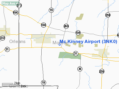
Location & QuickFacts
| FAA Information Effective: | 2008-09-25 |
| Airport Identifier: | 3NK0 |
| Airport Status: | Operational |
| Longitude/Latitude: | 077-54-09.0420W/43-12-11.2170N
-77.902512/43.203116 (Estimated) |
| Elevation: | 547 ft / 166.73 m (Estimated) |
| Land: | 0 acres |
| From nearest city: | 5 nautical miles E of Brockport, NY |
| Location: | Monroe County, NY |
| Magnetic Variation: | 11W (1985) |
Owner & Manager
| Ownership: | Privately owned |
| Owner: | Francis W. Mc Kinney |
| Address: | 4415 Sweden-walker Road
Brockport, NY 14420 |
| Phone number: | 716-637-5684 |
| Address: |
|
Airport Operations and Facilities
| Airport Use: | Private |
| Segmented Circle: | No |
| Control Tower: | No |
| Sectional chart: | New York |
| Region: | AEA - Eastern |
| Boundary ARTCC: | ZOB - Cleveland |
| Tie-in FSS: | BUF - Buffalo |
| FSS Toll Free: | 1-800-WX-BRIEF |
Runway Information
Runway 11/29
| Dimension: | 2300 x 60 ft / 701.0 x 18.3 m |
| Surface: | TURF, |
| |
Runway 11 |
Runway 29 |
| Traffic Pattern: | Left | Left |
| Obstruction: | 35 ft trees | 30 ft pline, 200.0 ft from runway |
|
Radio Navigation Aids
| ID |
Type |
Name |
Ch |
Freq |
Var |
Dist |
| AVN | NDB | Avon | | 344.00 | 09W | 13.0 nm |
| IAG | TACAN | Niagara Falls | 047X | | 10W | 46.7 nm |
| GEE | VOR/DME | Geneseo | 019X | 108.20 | 09W | 23.4 nm |
| BUF | VOR/DME | Buffalo | 111X | 116.40 | 08W | 36.6 nm |
| ROC | VORTAC | Rochester | 037X | 110.00 | 09W | 11.2 nm |
| BUF | VOT | Buffalo | | 109.00 | | 39.8 nm |
Remarks
Images and information placed above are from
http://www.airport-data.com/airport/3NK0/
We thank them for the data!
| General Info
|
| Country |
United States
|
| State |
NEW YORK
|
| FAA ID |
3NK0
|
| Latitude |
43-12-11.217N
|
| Longitude |
077-54-09.042W
|
| Elevation |
547 feet
|
| Near City |
BROCKPORT
|
We don't guarantee the information is fresh and accurate. The data may
be wrong or outdated.
For more up-to-date information please refer to other sources.
|
|


