|
|
| Mattituck Airport |
| IATA: none – ICAO: none – FAA LID: 21N |
| Summary |
| Airport type |
Public |
| Owner |
J. Parker Wickham |
| Serves |
Mattituck, New York |
| Elevation AMSL |
30 ft / 9 m |
| Coordinates |
40°59′15″N 072°31′08″W / 40.9875°N 72.51889°W / 40.9875; -72.51889Coordinates: 40°59′15″N 072°31′08″W / 40.9875°N 72.51889°W / 40.9875; -72.51889 |
| Runways |
| Direction |
Length |
Surface |
| ft |
m |
| 1/19 |
2,200 |
671 |
Asphalt |
| Statistics (2007) |
| Aircraft operations |
12,200 |
| Based aircraft |
32 |
| Source: Federal Aviation Administration |
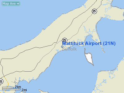
Mattituck Airport (FAA LID: 21N) is a public use airport located one nautical mile (2 km) southeast of the central business district of Mattituck, a hamlet in the Town of Southold, Suffolk County, New York, United States. It is privately owned by J. Parker Wickham.
Facilities and aircraft
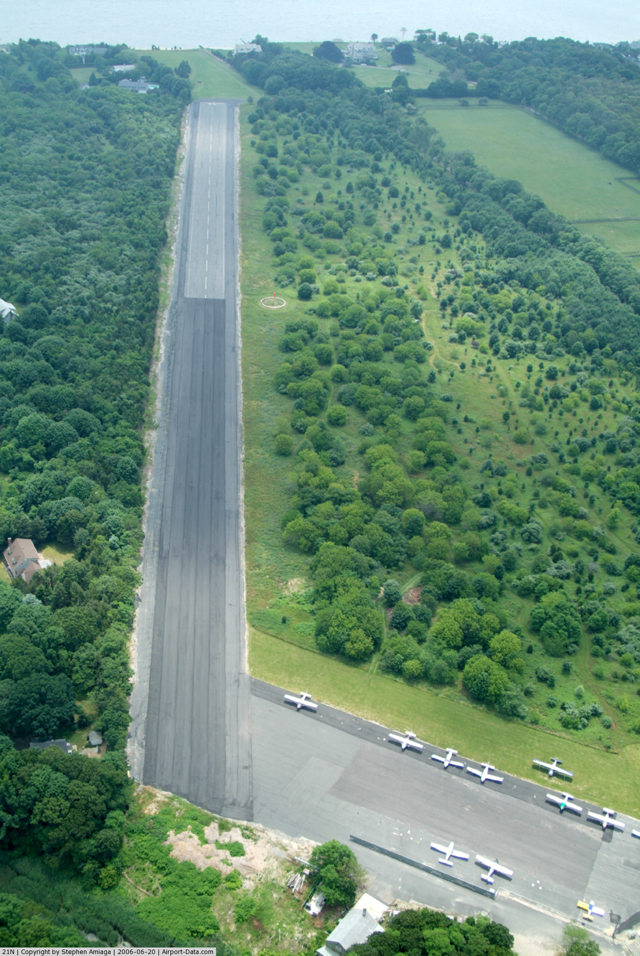
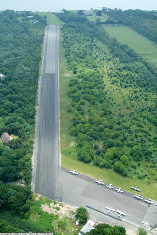
Mattituck Airport covers an area of 18 acres (7 ha) at an elevation of 30 feet (9 m) above mean sea level. It has one runway designated 1/19 with a 2,200 x 60 ft (671 x 18 m) asphalt surface.
For the 12-month period ending September 27, 2007, the airport had 12,200 aircraft operations, an average of 33 per day: 98% general aviation and 2% air taxi. At that time there were 32 single-engine aircraft based at this airport.
The above content comes from Wikipedia and is published under free licenses – click here to read more.
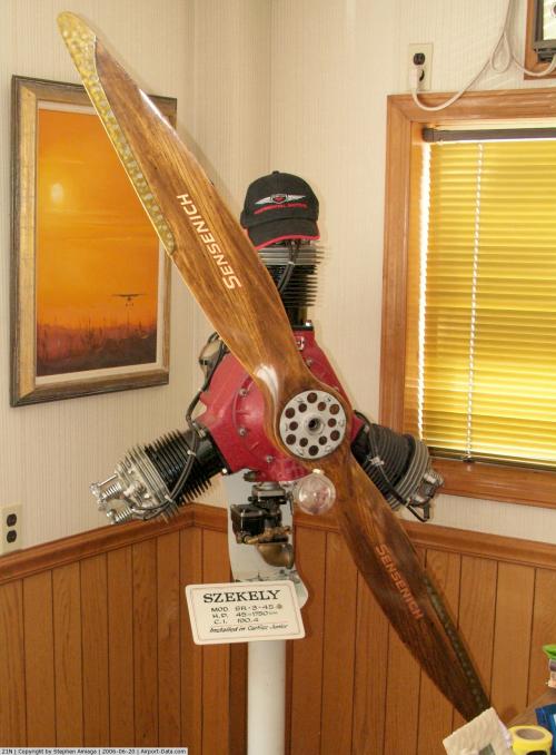
 |
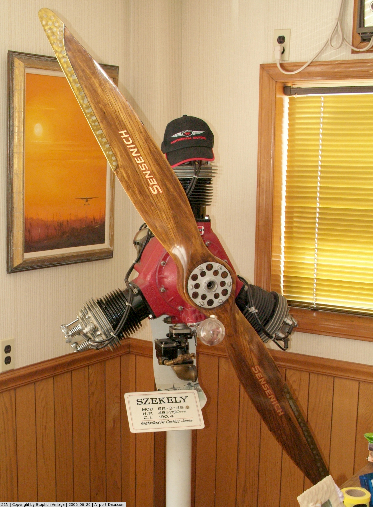
(Click on the photo to enlarge) |
 |
(Click on the photo to enlarge) |
Location & QuickFacts
| FAA Information Effective: | 2008-09-25 |
| Airport Identifier: | 21N |
| Airport Status: | Operational |
| Longitude/Latitude: | 072-31-08.3140W/40-59-15.3620N
-72.518976/40.987601 (Estimated) |
| Elevation: | 30 ft / 9.14 m (Estimated) |
| Land: | 18 acres |
| From nearest city: | 1 nautical miles SE of Mattituck, NY |
| Location: | Suffolk County, NY |
| Magnetic Variation: | 14W (1985) |
Owner & Manager
| Ownership: | Privately owned |
| Owner: | J. Parker Wickham |
| Address: | Po Box 1653
Mattituck, NY 11952 |
| Phone number: | 631-298-8330
631-298-8330 EXT 302 |
| Manager: | Jay Wickham |
| Address: | Po Box 1653
Mattituck, NY 11952 |
| Phone number: | 631-298-8330
631-298-8330 EXT 302 |
Airport Operations and Facilities
| Airport Use: | Open to public |
| Wind indicator: | Yes |
| Segmented Circle: | Yes |
| Control Tower: | No |
| Landing fee charge: | No |
| Sectional chart: | New York |
| Region: | AEA - Eastern |
| Boundary ARTCC: | ZBW - Boston |
| Responsible ARTCC: | ZNY - New York |
| Tie-in FSS: | ISP - New York |
| FSS on Airport: | No |
| FSS Toll Free: | 1-800-WX-BRIEF |
| NOTAMs Facility: | ISP (NOTAM-d service avaliable) |
Airport Communications
Airport Services
| Fuel available: | 100LL |
| Airframe Repair: | MINOR |
| Power Plant Repair: | MAJOR |
| Bottled Oxygen: | NONE |
| Bulk Oxygen: | NONE |
Runway Information
Runway 01/19
| Dimension: | 2200 x 60 ft / 670.6 x 18.3 m |
| Surface: | ASPH, Fair Condition
RY 19; EXTENSIVE PAVEMENT RUTTING AT CNTRLN, 240 FT-350 FT FM THLD.
RY 01/19 SPRAYED ASPHALT & PEBBLE MIXTURE & ASPH. |
| |
Runway 01 |
Runway 19 |
| Traffic Pattern: | Left | Left |
| Markings: | Basic, Good Condition | Basic, Good Condition |
| Obstruction: | 15 ft trees, 201.0 ft from runway, 36 ft right of centerline
RY 01 HAS +40 FT TREE 0 FT FM THLD, 60 FT RT; +29 FT TREES, 22 FT FM THLD, 54 FT RT. | 36 ft trees, 221.0 ft from runway
RWY 19 : +51' TRES, 0-200' FRM THLD, 75' LEFT; +16' BRUSH, 60' FRM THLD, 35' LT.;+10' CONTAINERS, 56' FRM THLD, 58' LT. |
|
Radio Navigation Aids
| ID |
Type |
Name |
Ch |
Freq |
Var |
Dist |
| OP | NDB | Old Field Point Light | | 316.00 | 13W | 27.2 nm |
| MMK | NDB | Meriden | | 238.00 | 14W | 34.4 nm |
| HF | NDB | Lomis | | 244.00 | 15W | 39.2 nm |
| TBY | NDB | Waterbury | | 257.00 | 14W | 43.1 nm |
| BBN | NDB | Babylon | | 275.00 | 14W | 43.7 nm |
| FOK | TACAN | Suffolk Co | 047X | | 13W | 10.4 nm |
| CCC | VOR/DME | Calverton | 119X | 117.20 | 13W | 13.2 nm |
| MAD | VOR/DME | Madison | 041X | 110.40 | 13W | 21.1 nm |
| HVN | VOR/DME | New Haven | 035X | 109.80 | 13W | 23.4 nm |
| BDR | VOR/DME | Bridgeport | 25X | 108.80 | 12W | 29.3 nm |
| GON | VOR/DME | Groton | 45Y | 110.85 | 14W | 29.5 nm |
| DPK | VOR/DME | Deer Park | 124X | 117.70 | 12W | 37.5 nm |
| HFD | VOR/DME | Hartford | 096X | 114.90 | 13W | 39.3 nm |
| ORW | VOR/DME | Norwich | 037X | 110.00 | 14W | 41.5 nm |
| SEY | VOR/DME | Sandy Point | 125X | 117.80 | 15W | 44.1 nm |
| HTO | VORTAC | Hampton | 083X | 113.60 | 13W | 10.1 nm |
| ISP | VOT | Long Island Mac Arthur | | 109.40 | | 28.8 nm |
| GON | VOT | Groton | | 110.25 | | 29.3 nm |
| BDR | VOT | Bridgeport | | 109.25 | | 29.4 nm |
| HFD | VOT | Hartford | | 108.20 | | 45.3 nm |
Remarks
- ALL TRNG OPNS; TKOF/LNDG PRACTICE AND NIGHT OPNS ARE PROHIBITED.
- SEGMENTED CIRCLE HAS NO TFC PATTERN INDICATOR.
- DEER ON AND INVOF ARPT.
Images and information placed above are from
http://www.airport-data.com/airport/21N/
We thank them for the data!
| General Info
|
| Country |
United States
|
| State |
NEW YORK
|
| FAA ID |
21N
|
| Latitude |
40-59-15.362N
|
| Longitude |
072-31-08.314W
|
| Elevation |
30 feet
|
| Near City |
MATTITUCK
|
We don't guarantee the information is fresh and accurate. The data may
be wrong or outdated.
For more up-to-date information please refer to other sources.
|
|