 |
|
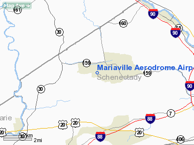
Mariaville Aerodrome Airport |
Location & QuickFacts
| FAA Information Effective: | 2008-09-25 |
| Airport Identifier: | 8NY5 |
| Airport Status: | Operational |
| Longitude/Latitude: | 074-08-53.4600W/42-49-13.2700N
-74.148183/42.820353 (Estimated) |
| Elevation: | 1260 ft / 384.05 m (Estimated) |
| Land: | 5 acres |
| From nearest city: | 4 nautical miles N of Duanesburg, NY |
| Location: | Schenectady County, NY |
| Magnetic Variation: | 14W (1990) |
Owner & Manager
| Ownership: | Privately owned |
| Owner: | Clifford A. Souza |
| Address: | 1305 Newberry Court
Malta, NY 12020 |
| Phone number: | 518-879-1065 |
| Manager: | Clifford A. Souza |
| Address: | 1305 Newberry Court
Malta, NY 12020 |
| Phone number: | 518-879-1065 |
Airport Operations and Facilities
| Airport Use: | Private |
| Segmented Circle: | No |
| Control Tower: | No |
| Sectional chart: | New York |
| Region: | AEA - Eastern |
| Boundary ARTCC: | ZBW - Boston |
| Tie-in FSS: | BTV - Burlington |
| FSS on Airport: | No |
| FSS Toll Free: | 1-800-WX-BRIEF |
Runway Information
Runway 10/28
| Dimension: | 1820 x 100 ft / 554.7 x 30.5 m |
| Surface: | TURF, |
| |
Runway 10 |
Runway 28 |
| Traffic Pattern: | Left | Left |
|
Radio Navigation Aids
| ID |
Type |
Name |
Ch |
Freq |
Var |
Dist |
| PSF | FAN MARKER | Abyss | | | 13W | 46.8 nm |
| HEU | NDB | Hunter | | 356.00 | 14W | 9.6 nm |
| JJH | NDB | Johnstown | | 523.00 | 14W | 13.5 nm |
| PFH | NDB | Philmont | | 272.00 | 13W | 38.9 nm |
| DXT | NDB | Dalton | | 370.00 | 15W | 48.1 nm |
| CAM | VOR/DME | Cambridge | 097X | 115.00 | 14W | 36.9 nm |
| ALB | VORTAC | Albany | 100X | 115.30 | 13W | 15.8 nm |
| GFL | VORTAC | Glens Falls | 039X | 110.20 | 14W | 39.2 nm |
| UCA | VORTAC | Utica | 049X | 111.20 | 12W | 46.4 nm |
| ALB | VOT | Albany County | | 108.20 | | 15.1 nm |
Remarks
- VFR--DAYLIGHT OPERATIONSONLY; APPROACHES CLEARED OR THRESHOLDS DISPLACED TO PROVIDE 20:1 CLEARANCES; RUNWAY GRADED TO PROVIDE EVEN/STRAIGHT SURFACE; THRESHOLDS CLEARLY MARKED.
Images and information placed above are from
http://www.airport-data.com/airport/8NY5/
We thank them for the data!
| General Info
|
| Country |
United States
|
| State |
NEW YORK
|
| FAA ID |
8NY5
|
| Latitude |
42-49-13.270N
|
| Longitude |
074-08-53.460W
|
| Elevation |
1260 feet
|
| Near City |
DUANESBURG
|
We don't guarantee the information is fresh and accurate. The data may
be wrong or outdated.
For more up-to-date information please refer to other sources.
|
|


