 |
|
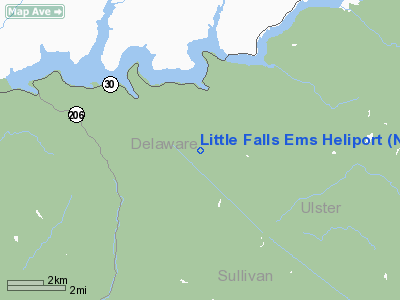
Little Falls Ems Heliport |
Location & QuickFacts
| FAA Information Effective: | 2008-09-25 |
| Airport Identifier: | NK14 |
| Airport Status: | Operational |
| Longitude/Latitude: | 074-50-12.5410W/42-02-27.2540N
-74.836817/42.040904 (Estimated) |
| Elevation: | 900 ft / 274.32 m (Estimated) |
| Land: | 1 acres |
| From nearest city: | 1 nautical miles E of Little Falls, NY |
| Location: | Herkimer County, NY |
| Magnetic Variation: | 13W (1990) |
Owner & Manager
| Ownership: | Publicly owned |
| Owner: | City Of Little Falls |
| Address: | 659 E Main St
Little Falls, NY 13365 |
| Phone number: | 315-823-2234 |
| Manager: | Chief James Syaffo |
| Address: | 659 E Main St
Little Falls, NY 13365 |
| Phone number: | 315-823-2234 |
Airport Operations and Facilities
| Airport Use: | Private
MEDICAL USE. |
| Wind indicator: | Yes |
| Segmented Circle: | No |
| Control Tower: | No |
| Sectional chart: | New York |
| Region: | AEA - Eastern |
| Boundary ARTCC: | ZBW - Boston |
| Tie-in FSS: | BUF - Buffalo |
| FSS on Airport: | No |
| FSS Toll Free: | 1-800-WX-BRIEF |
Runway Information
Helipad H1
| Dimension: | 50 x 50 ft / 15.2 x 15.2 m |
| Surface: | CONC, |
| |
Runway H1 |
Runway |
| Traffic Pattern: | Left | Left |
|
Radio Navigation Aids
| ID |
Type |
Name |
Ch |
Freq |
Var |
Dist |
| SKU | FAN MARKER | Stanwyck | | | 12W | 47.0 nm |
| MS | NDB | Monga | | 359.00 | 12W | 16.5 nm |
| SW | NDB | Neely | | 335.00 | 14W | 43.1 nm |
| SKU | NDB | Stanwyck | | 261.00 | 12W | 47.0 nm |
| PO | NDB | Meier | | 403.00 | 12W | 48.1 nm |
| DNY | VOR/DME | De Lancey | 058X | 112.10 | 11W | 9.8 nm |
| HNK | VOR/DME | Hancock | 115X | 116.80 | 11W | 21.4 nm |
| RKA | VOR/DME | Rockdale | 073X | 112.60 | 11W | 31.2 nm |
| HUO | VOR/DME | Huguenot | 108X | 116.10 | 11W | 39.5 nm |
| LHY | VORTAC | Lake Henry | 045X | 110.80 | 10W | 44.6 nm |
Remarks
- PROVIDED 50 FT SMOKESTACK 400 FT NE IS OBSTN LGTED.
Images and information placed above are from
http://www.airport-data.com/airport/NK14/
We thank them for the data!
| General Info
|
| Country |
United States
|
| State |
NEW YORK
|
| FAA ID |
NK14
|
| Latitude |
42-02-27.254N
|
| Longitude |
074-50-12.541W
|
| Elevation |
900 feet
|
| Near City |
LITTLE FALLS
|
We don't guarantee the information is fresh and accurate. The data may
be wrong or outdated.
For more up-to-date information please refer to other sources.
|
|


