|
|
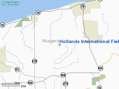
Hollands Intl Field Airport |
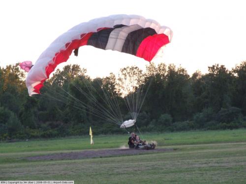 |
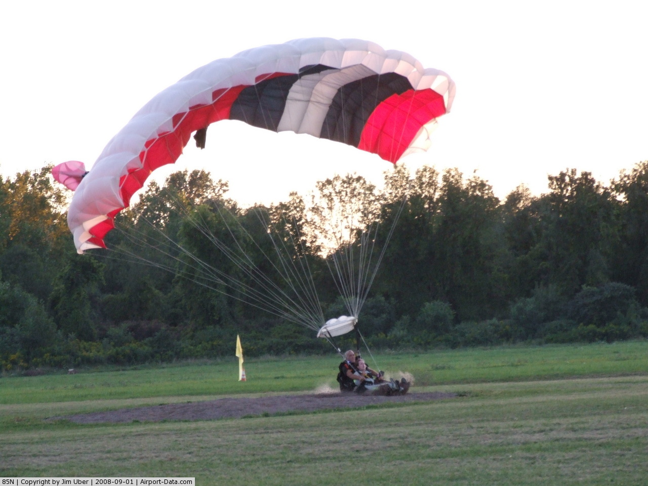
(Click on the photo to enlarge) |
 |
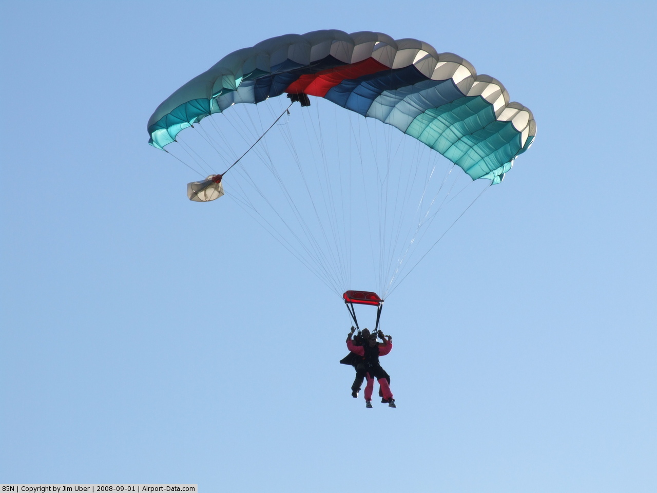
(Click on the photo to enlarge) |
Location & QuickFacts
| FAA Information Effective: | 2008-09-25 |
| Airport Identifier: | 85N |
| Airport Status: | Operational |
| Longitude/Latitude: | 078-46-04.1290W/43-16-00.2020N
-78.767814/43.266723 (Estimated) |
| Elevation: | 360 ft / 109.73 m (Estimated) |
| Land: | 110 acres |
| From nearest city: | 3 nautical miles SW of Newfane, NY |
| Location: | Niagara County, NY |
| Magnetic Variation: | 10W (1985) |
Owner & Manager
| Ownership: | Privately owned |
| Owner: | Al C. Hollands |
| Address: | 3316 Beebe Rd
Newfane, NY 14180 |
| Phone number: | 716-751-6170 |
| Manager: | Al C. Hollands |
| Address: | 3316 Beebe Rd
Newfane, NY 14180 |
| Phone number: | 716-751-6170 |
Airport Operations and Facilities
| Airport Use: | Open to public |
| Wind indicator: | Yes |
| Segmented Circle: | No |
| Control Tower: | No |
| Landing fee charge: | No |
| Sectional chart: | Detroit |
| Region: | AEA - Eastern |
| Boundary ARTCC: | ZOB - Cleveland |
| Tie-in FSS: | BUF - Buffalo |
| FSS on Airport: | No |
| FSS Toll Free: | 1-800-WX-BRIEF |
| NOTAMs Facility: | BUF (NOTAM-d service avaliable) |
Airport Communications
Airport Services
| Bottled Oxygen: | NONE |
| Bulk Oxygen: | NONE |
Runway Information
Runway NE/SW
| Dimension: | 2875 x 75 ft / 876.3 x 22.9 m |
| Surface: | TURF, Good Condition |
| |
Runway NE |
Runway SW |
| Traffic Pattern: | Left | Left |
| Runway End Identifier: | No | No |
| Centerline Lights: | No | No |
| Touchdown Lights: | No | No |
| Obstruction: | 59 ft trees, 48.0 ft from runway, 126 ft right of centerline
TREE 12'; 17'; 27; 32' & 40 FROM THR. | 58 ft trees, 2.0 ft from runway, 83 ft left of centerline |
|
Radio Navigation Aids
| ID |
Type |
Name |
Ch |
Freq |
Var |
Dist |
| SN | NDB | St Catherines | | 408.00 | 01E | 22.5 nm |
| TZ | NDB | Gibraltar Point | | 257.00 | 10W | 34.1 nm |
| OO | NDB | Oshawa | | 391.00 | 10W | 39.7 nm |
| L | NDB | Lima | | 368.00 | 10W | 40.1 nm |
| YZD | NDB | Downsview | | 356.00 | 09W | 42.6 nm |
| X | NDB | Xray | | 385.00 | 09W | 45.1 nm |
| ZLB | NDB | Britannia | | 236.00 | 10W | 45.3 nm |
| J | NDB | Juliett | | 236.00 | 10W | 45.3 nm |
| AVN | NDB | Avon | | 344.00 | 09W | 46.4 nm |
| KZ | NDB | Buttonville | | 248.00 | 09W | 46.9 nm |
| T | NDB | Tango | | 341.00 | 09W | 47.3 nm |
| R | NDB | Romeo | | 403.00 | 09W | 49.7 nm |
| IAG | TACAN | Niagara Falls | 047X | | 10W | 12.5 nm |
| BUF | VOR/DME | Buffalo | 111X | 116.40 | 08W | 21.0 nm |
| YYZ | VOR/DME | Toronto | 058Y | 112.15 | 10W | 44.4 nm |
| ROC | VORTAC | Rochester | 037X | 110.00 | 09W | 48.7 nm |
| BUF | VOT | Buffalo | | 109.00 | | 19.7 nm |
Remarks
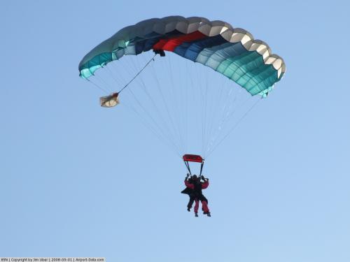
- PARACHUTE CLUB USES ARPT DURG APR-NOV.
- RWY "SW";+ 40'-55' TREES, 140-200' FRM THLD, 65'-90' LT.; +66' TREES, 300-750' PAST THLD, 50'-100' LT.; +60'-75' TREES, 500'-1000' PAST THLD, 85'-100' RT.;+30' TREES, 1200' PAST THLD, 60' RT.
- VFR USE ONLY.
Images and information placed above are from
http://www.airport-data.com/airport/85N/
We thank them for the data!
| General Info
|
| Country |
United States
|
| State |
NEW YORK
|
| FAA ID |
85N
|
| Latitude |
43-16-00.202N
|
| Longitude |
078-46-04.129W
|
| Elevation |
360 feet
|
| Near City |
NEWFANE
|
We don't guarantee the information is fresh and accurate. The data may
be wrong or outdated.
For more up-to-date information please refer to other sources.
|
|